

Latest
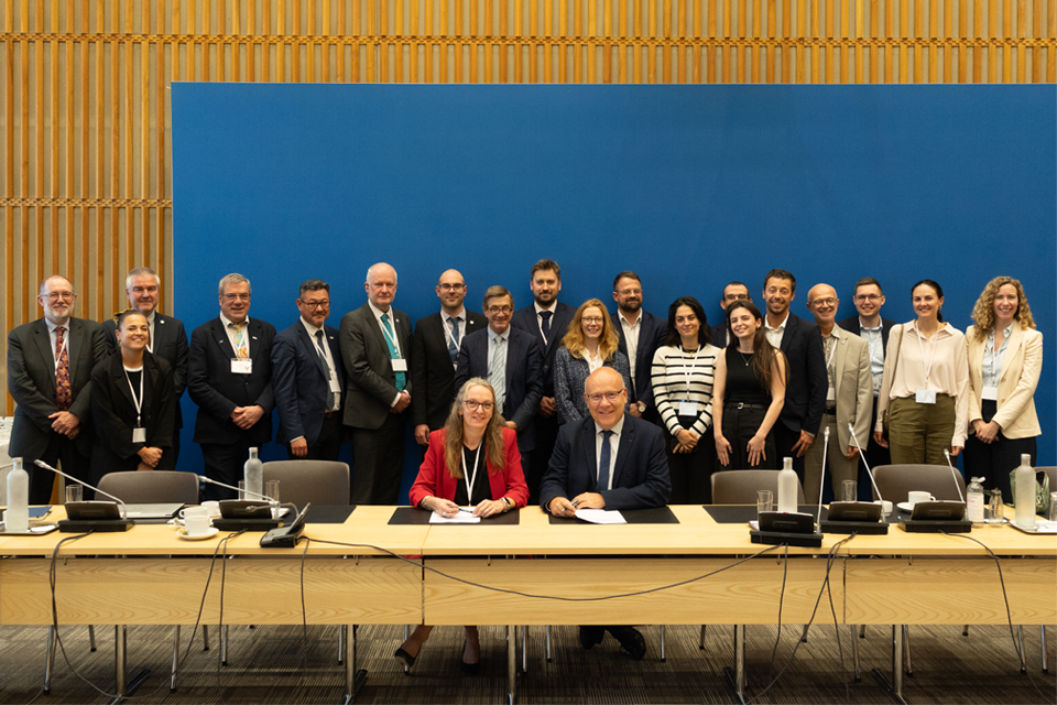
British and French geological surveys strengthen collaboration through new agreement
14/10/2026
Two of Europe’s leading geological surveys have signed a Memorandum of Understanding to strengthen collaboration on key geoscientific challenges.
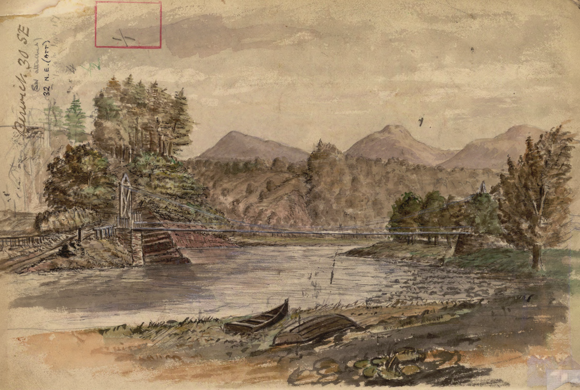
Historic watercolour unearthed on back of Dryburgh geological field map
05/10/2026
A 150-year-old painting of Dryburgh Suspension Bridge and the River Tweed offers an insight into the Scottish Borders landmark shortly after it was built in the 1870s.
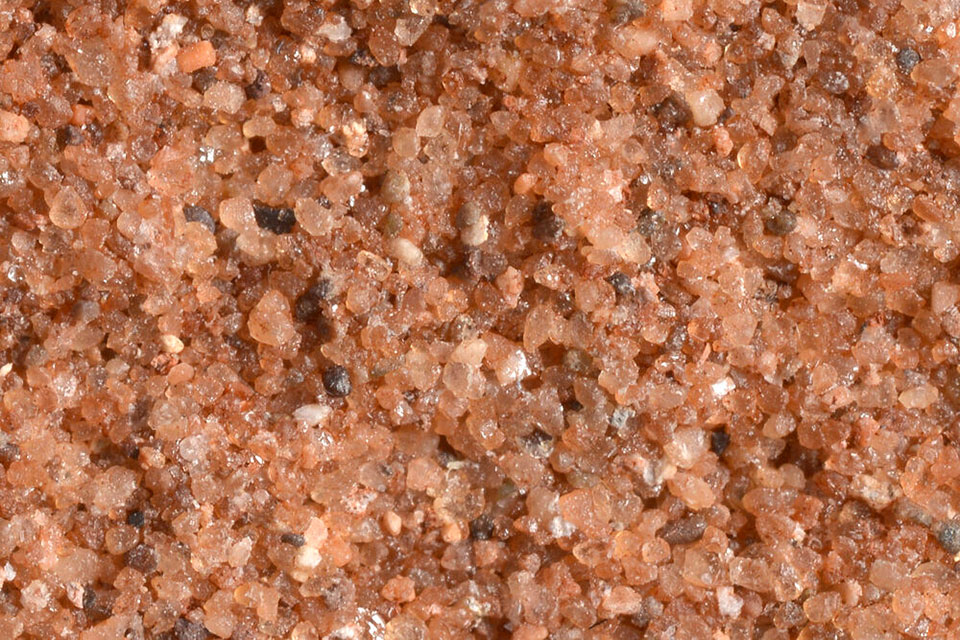

Measuring the environmental impacts of carbon fibre: life cycle assessment
01/09/2026
Undergraduate student Phoebe Brown visited BGS to understand the life cycle of carbon fibre, from primary production to recycling.
Explore more news
Browse all news and events by category

World Cities Day: the geological story of our cities
31/10/2025
Understanding the rocks that underlie our towns and cities, the risks they can present and how they influence urban planning and redevelopment.

GSNI project wins multiple awards at RegioStars event
17/10/2025
The AGEO project enjoyed a double success at the RegioStars awards, hosted at the European Commission in Brussels.
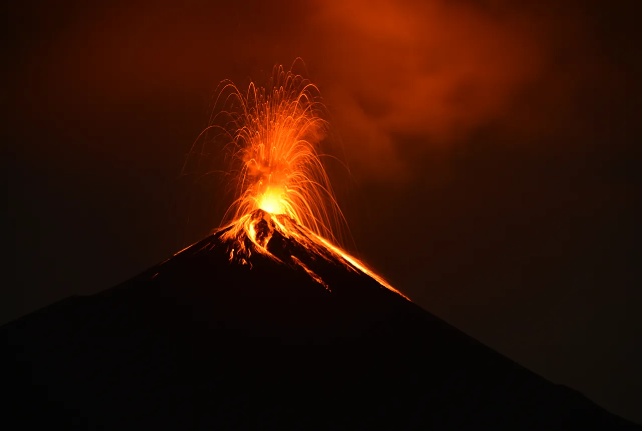
Fieldwork on Volcán de Fuego
13/10/2025
Understanding how one of the world’s most active volcanoes builds up material, and how they collapse to feed hot flows
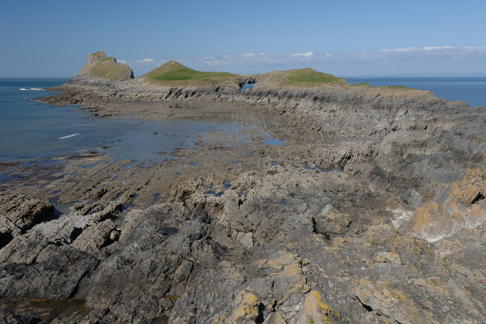
Extended seabed geology map of the Bristol Channel published
07/10/2025
BGS has released significantly extended high-resolution maps that will support offshore green-energy initiatives in the area.

Dr Angela Lamb appointed as honorary professor by the University of Nottingham
02/10/2025
Dr Lamb will take up the position of honorary professor of environmental geochemistry, with a focus on collaborative research.
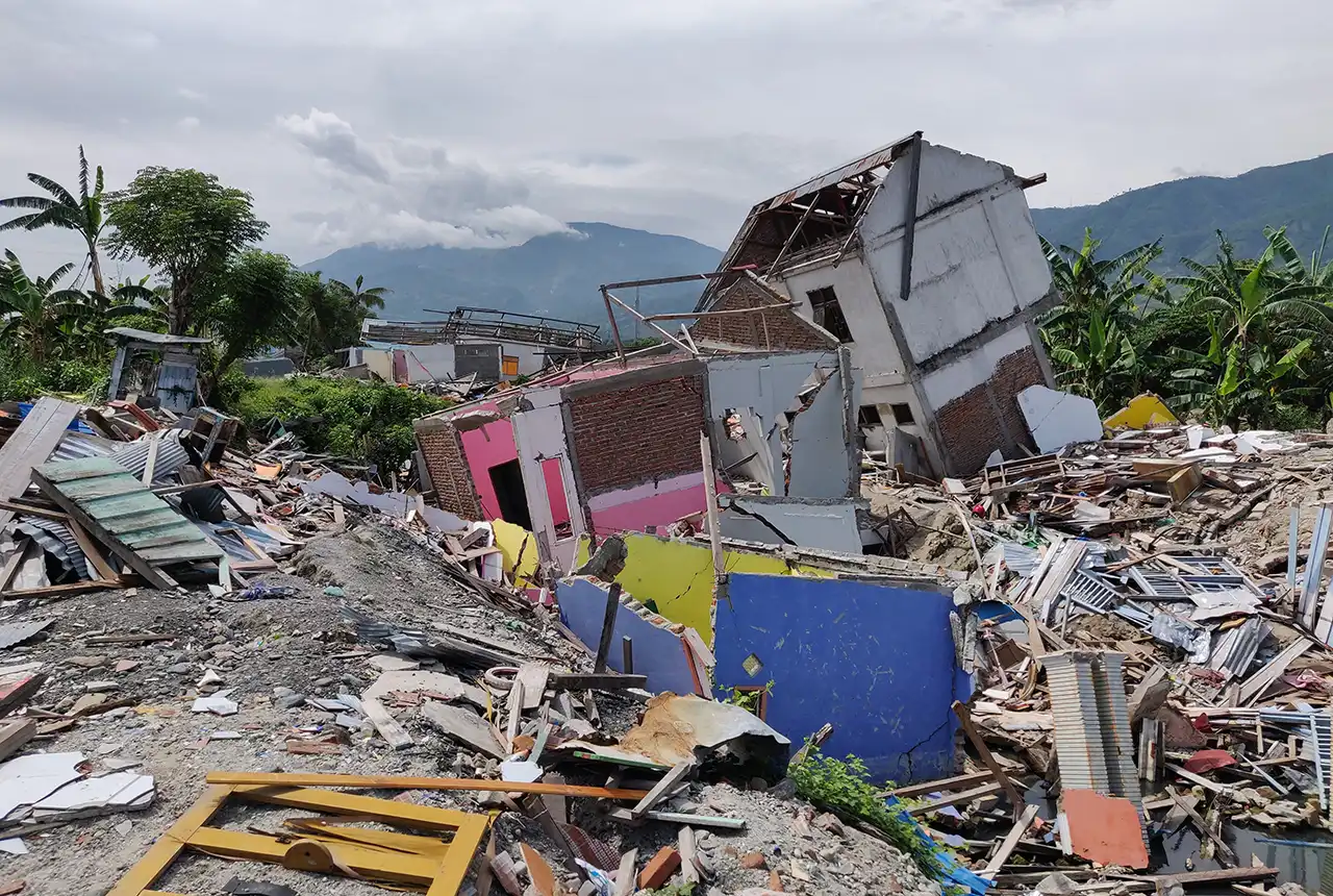
New report sets pathway to reduce the impacts of geohazards in one of the world’s most hazard-prone nations
30/09/2025
A new White Paper, co-developed by Indonesian and UK hazard experts, presents a strategic roadmap to significantly reduce the impacts of geological hazards in Indonesia.
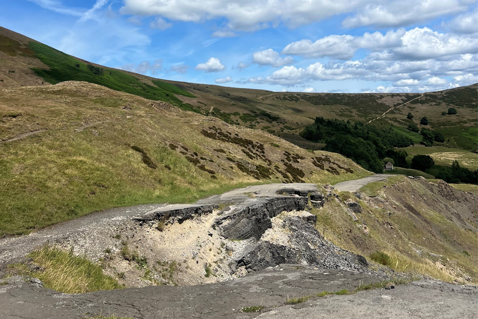
Artificial intelligence helps scientists identify 3000 moving slopes potentially at risk of landslide
25/09/2025
A new approach that combines AI and satellite data has been used by scientists to detect actively moving landslides at a national scale.
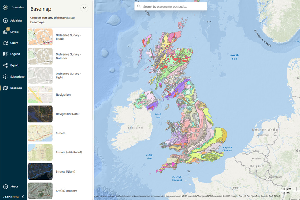
New BGS GeoIndex viewer released for user testing
24/09/2025
The premium map-viewing application has been given a major upgrade and made available as a beta release.