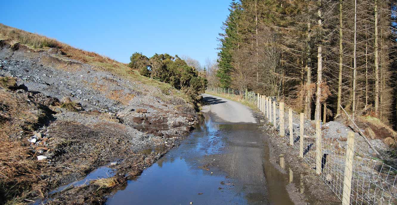

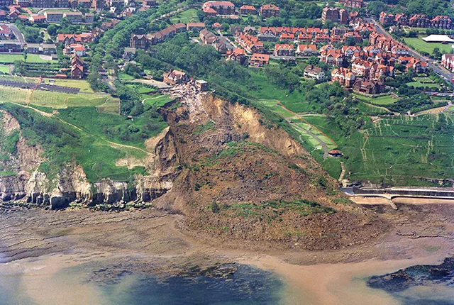
Lake District, photo taken in 2016 following 2015 landslide.
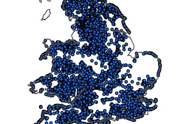
Great Britain is not an island renowned for its large catastrophic landslides. The extreme climatic events and the mountainous regions that are associated with the destructive landslide events elsewhere in the world are usually not experienced in the UK. Nevertheless, landslide events here do have significant societal and economic impacts. They can cause transport delays and route closures, damage to property and injury. Sadly, Great Britain has experienced 13 fatalities since 2000 (British Geological Survey National Landslide Database, 2020).
Met Office statistics have shown that 2012 was the second-wettest year since collation of national records began in 1910. Landslides data collected by BGS shows that there was extensive reporting of landslides in the media during this and subsequent winters. There continues to be heightened awareness of these geological hazards and the impacts that these events can have on the surrounding community resilience.
Natural hazard assessment and early warning systems are important components of disaster risk reduction. BGS has been a member of the Natural Hazard Partnership (NHP) since its creation. One of the products created by the NHP is the Daily Hazard Assessment (DHA).
The DHA is an ‘at a glance’ overview of potential natural hazards and health implications that could affect the UK over the next five days. The DHA is communicated to the wider stakeholder and Category 1 and 2 responder community to help increase the UK’s ability to be prepared for and respond to multi-hazard events. Twenty-one natural hazards are included in the DHA and BGS is responsible for issuing the landslide component, the Daily Landslide Hazard Assessment (DLHA).
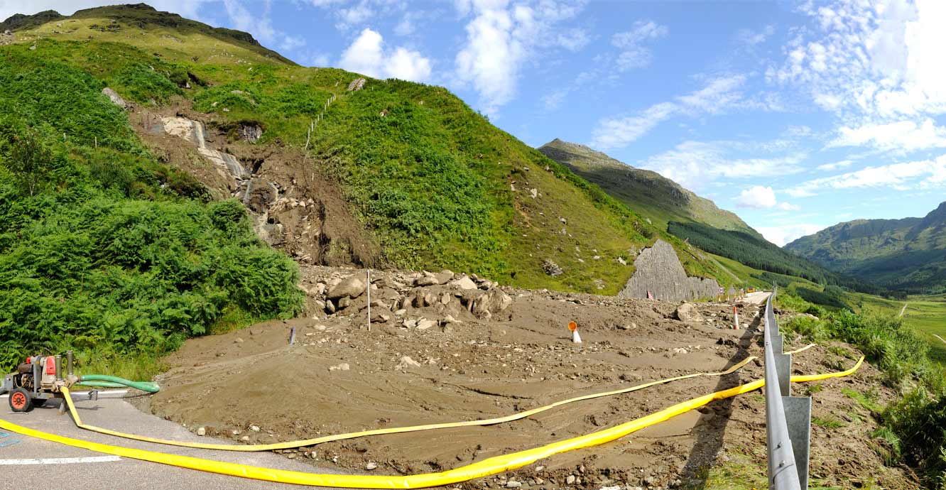
Rest and Be Thankful pass, August 2012.
As a result of this NHP partnership and collaboration with Scottish Government, BGS has been working to evolve their susceptibility mapping towards hazard impact modelling. The approach for this research development has been to concentrate on rainfall events affecting shallow soil movements. These events can typically evolve into debris flows — the events that most frequently have societal and economic consequences by disrupting transport infrastructure and affecting buildings.
The first step was the creation of a rainfall threshold using a conceptual hydrological model, combining the soil moisture conditions and forecasted precipitation, to aid the development of landslide forecasting science. The assumption is that the likelihood of landslides being triggered by rainfall is dependent upon the antecedent soil moisture conditions of the near-surface. We have developed an approach where temporal and spatial variations in near-surface soil moisture can be obtained from the water balance model, representing processes in the large (macro), medium (meso), and small (micro) soil pores and presented on a relatively coarse grid of 1 km2 every 24 hours.
The information is combined with susceptibility mapping and the National Landslide Database to guide the issuing of the DLHA and early warnings. The main aim is to obtain an insight into storm-triggered regional landslide distribution patterns and threshold exceedance. The BGS water balance model is still in its infancy and is a subject of substantial ongoing research.
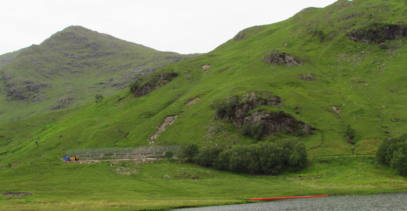
Glenfinnan, Scotland, 2019
You may also be interested in:
Shallow geohazards
Measuring, recording and analysing near-surface geological hazards including landslides, sinkholes and discontinuities.
National Landslide Database
The BGS National Landslide Database (NLD) is the most extensive source of information on landslides in Great Britain.
Landslides
Building resilience both in the UK and internationally to landslides and carrying out many aspects of landslide research.