Funding: Interreg RAWFILL Project (total budget received from Interreg North-West Europe (2014–2020): €2.29 million of ERDF; total budget €3.8 million)
Duration: March 2017 – March 2020
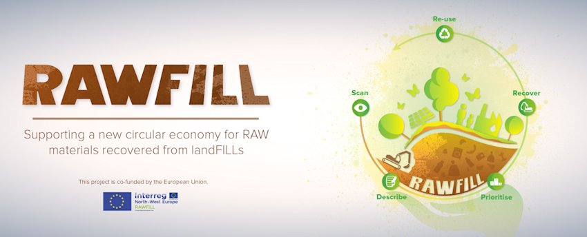
Project website: RAWFILL
The north-west Europe (NWE) region has approximately 100 000 landfill (LF) sites. Most of these sites lack state-of-the-art environmental protection systems, leading to local pollution, land-use restrictions and global impacts. However, this problem can be transformed into an opportunity as large volumes of resources (materials; energy; land area) in these LFs can be recovered through landfill mining (LFM).
RAWFILL tackles the remaining barriers to LFM being widely implemented in the NWE region, including the profitability risk due to the lack of reliable data on the recovery potential of LFs. Even in the NWE region, inventories of the 100 000 LFs lack relevant data on economic potential. Furthermore, traditional exploration methods are rather expensive, as they require analysis of multiple excavated waste samples.
In order to address these challenges, RAWFILL will develop:
- an evidence-based, cost-effective, standard LF inventory framework
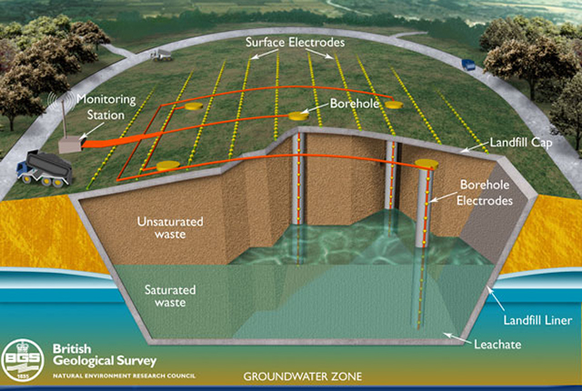
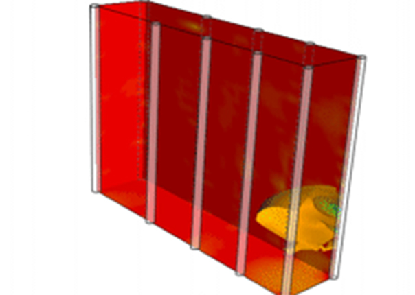
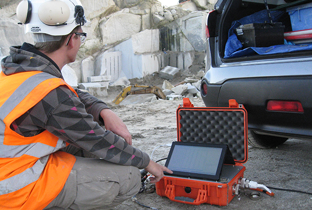
- innovative LF characterisation by geophysical imaging and guided sampling demonstrated on two pilot sites
- an associated decision-support tool to allow smart LFM project prioritisation
Partners
The impact of RAWFILL is guaranteed by long-term involvement of all RAWFILL’s partners, associated partners and key stakeholders. The BGS geophysical tomography team will contribute to the project by developing novel geophysical approaches for non-invasively characterising the structure and composition of waste deposits.
Partners include:
Project goals
RAWFILL aims to provide knowledge and tools to screen LFs and demonstrates the evidence-based, standardised methodology to select profitable LFM projects under real conditions, with the goal of recovering huge amounts of dormant raw materials, energy carriers and land resources.
Contact
If you would like to discover more then please contact Jonathan Chambers.
You may also be interested in
Waste management ALERT project
Thw Waste Management ALERT project aims to develop a non-invasive, 4D, electrical imaging system for automated time-lapse monitoring of landfill sites.
Contaminated land ALERT
Time-lapse geoelectrical imaging has the potential to produce volumetric, time-dependent maps of contaminant distributions for use in contaminated land remediation.
Applications
Applications range from mineral exploration and waste management, to monitoring active processes within the subsurface, such as the movement of pollutants, or the flow of groundwater in unstable slopes affecting infrastructure.