

Datasets

These are our most popular and influential datasets. For a comprehensive list of all BGS data, please visit the BGS Metadata Catalogue
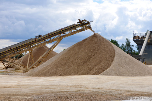
BGS is engaged in surveying the country for former mineral sites due to their importance for planning purposes and as potential sources of currently scarce resources such as building stone, in addition to hazard checking.
- Open / Premium
- Great Britain, Northern Ireland, Isle of Man and Channel Islands
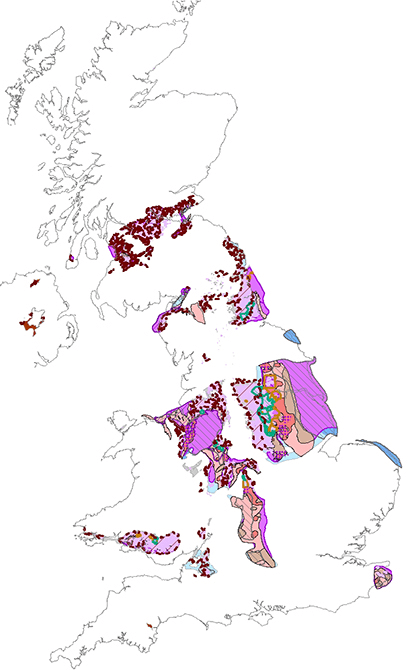
A series of maps showing the potential of the UK onshore coal resources for exploitation by conventional and new technologies.
- Open
- 1:1 000 000
- UK
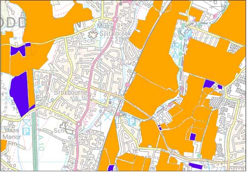
This dataset contains hand-drawn boundaries showing mineral related planning permissions and land use collated from the 1940s to the mid 1980s.
- Premium
- 1:50 000
- England and Wales
 Data Preview
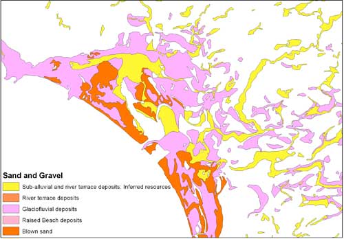
This dataset contains the geological distribution of all onshore mineral resources.
- Premium
- 1:50 000
- England, Wales, central belt of Scotland
Data Preview
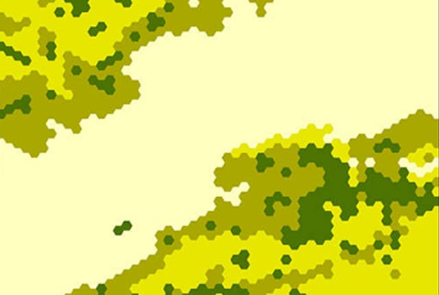
This dataset provides a generalised overview of the likelihood for mining to have occurred.
- Open
- 1 km hex grid (approx. 1:1 000 000)
- Great Britain
 Data Preview
The mining hazard dataset provides essential information for planners and developers building in areas of former shallow underground mine workings.
- Premium
- 1:50 000
- Great Britain
Data Preview
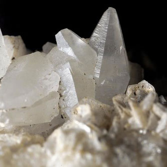
The British Geological Survey (BGS) has one of the largest databases in the world on the production and trade of minerals.
- Open
- Worldwide
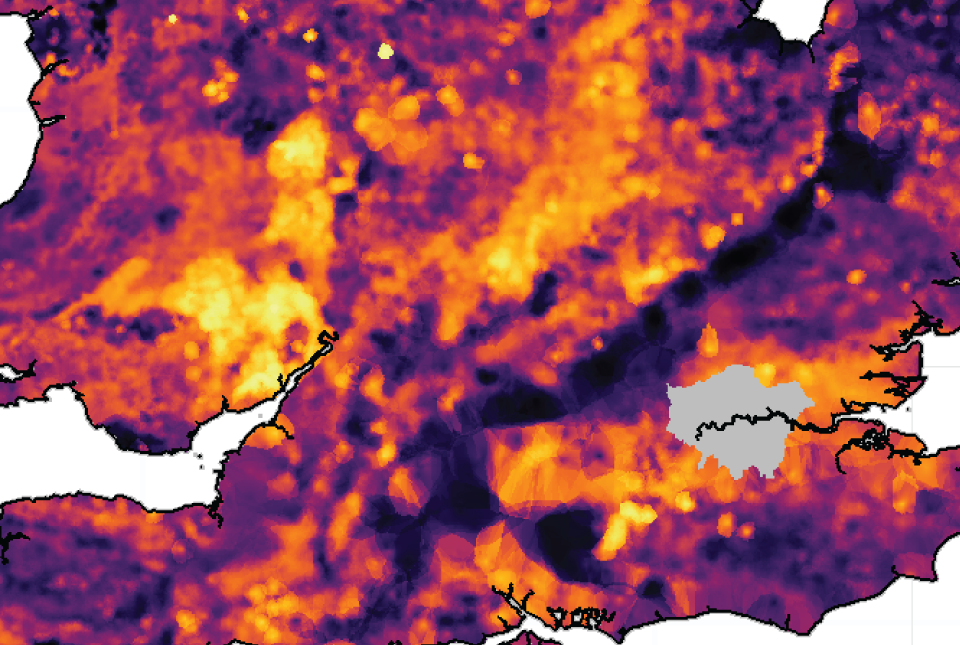 Data Preview
The UK stream sediment geochemistry maps present data compiled from the G-BASE and TellusNI geochemical projects.
- Open / Premium
- Great Britain and Northern Ireland
Data Preview
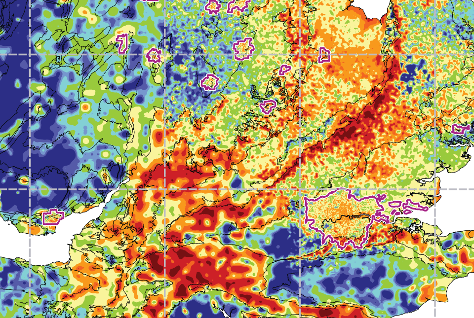 Data Preview
The UK Compiled Topsoil Dataset (UKTS), is the most extensive topsoil geochemistry dataset for the UK.
- Open / Premium
- Partial UK Coverage
Data Preview