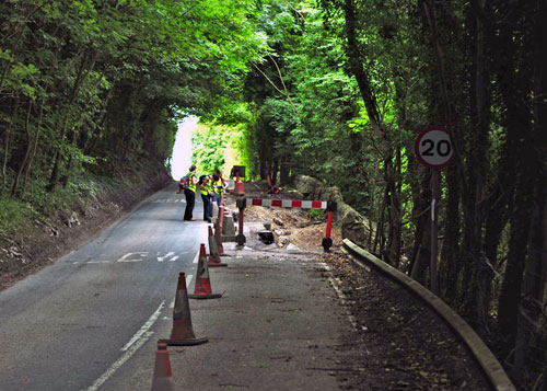
The landslide at Fenny Bentley is located approximately 3 km north of Ashbourne in Derbyshire. As a result of this landslide, the B5056 road became dangerous and has been closed. Movement on this section of road had been reported in local and national news for some time.
- Landslips close road until 2010 BBC news story, 13 August 2009
- Landslip ‘part of older problem’ BBC news report on BGS landslide visit, 17 August 2009
The BGS Landslide Response Team made a visit to the landslide on 13 August 2009 to investigate the failure. Information was collected for the BGS National Landslide Database and geological maps.
Geology
The geology underlying this slope is part of the Bowland Shale Formation, previously known as the Edale Shale. This is Carboniferous in age (Namurian) and belongs to the Craven Group. The Chesterfield Landslide Report and Derby Landslide Report highlight other areas where landslides occur in the Bowland Shale Formation.
The Bowland Shale Formation is composed of mainly dark grey, fissile mudstones, weakly calcareous, interbedded limestones, and sandstones. It is fossiliferous in discrete bands and is commonly associated with landslides throughout Derbyshire.
Alluvial deposits present in a flattened area at the bottom of the slope are associated with the Bradbourne Brook.
Landslide
Fresh landslide features known as mud flows were mostly seen in the upper part of the slope, below the road. The landslide reported is actually a reactivation of part of an older and larger landslide.
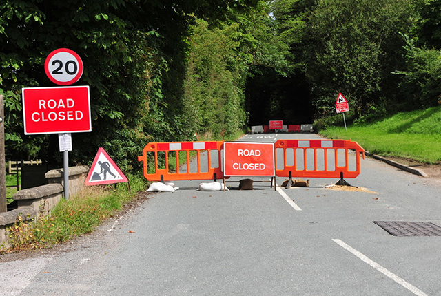

Fenny Bentley road closure. BGS © UKRI.
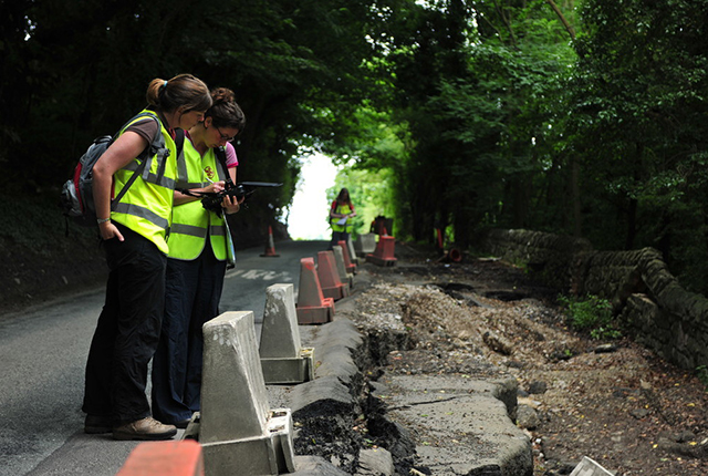
The BGS Landslide Response Team made a visit to the site on 13 August 2009 to investigate. BGS © UKRI.
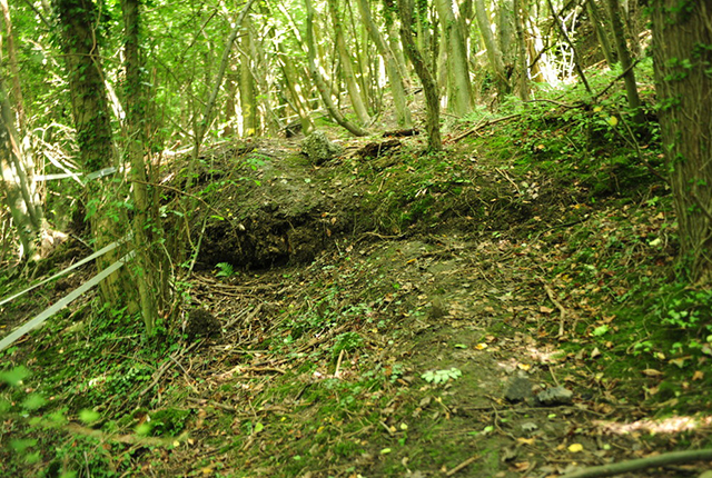
View of the front of one of the flow lobes seen in the upper section of the slope. BGS © UKRI.
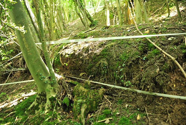
Close up of the front of one of the flow lobes seen in the upper section of the slope, disrupting the trees. BGS © UKRI.
In addition to the features seen on the slopes, damage was also viewed on the road (B5056) and adjoining wall. BGS © UKRI.
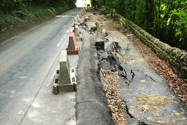
Close up of damage to road (B5056). BGS © UKRI.
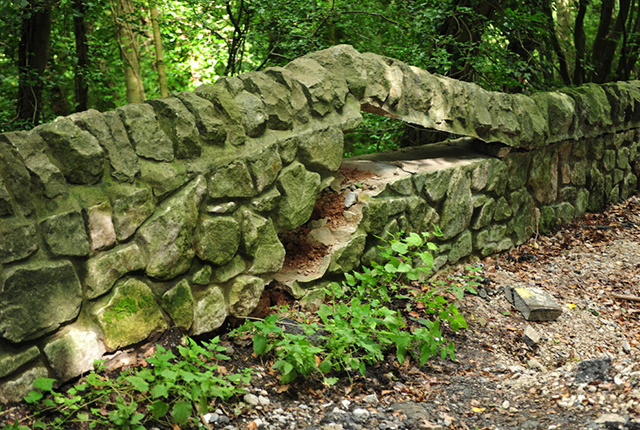
Close up of damage to a wall adjoining the road (B5056). BGS © UKRI.
The 1:10 000-scale geological map shows the extent of the older and larger landslide. This landslide has not been printed on our 1:50 000-scale geological map, as it was too small to represent cartographically at that scale.
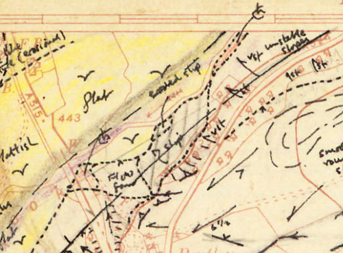
A scan of the original linework mapped in the field by the geologist shows the older, larger landslide deposit (vertical pencil lines). Note ‘unstable slopes’ to the north-east. BGS © UKRI.
All the information about the landslide was collected by the Landslide Response Team using BGS·SIGMAmobile technology.
You may also be interested in

Landslide case studies
The landslides team at the BGS has studied numerous landslides. This work informs our geological maps, memoirs and sheet explanations and provides data for our National Landslide Database, which underpins much of our research.

Understanding landslides
What is a landslide? Why do landslides happen? How to classify a landslide. Landslides in the UK and around the world.

How to classify a landslide
Landslides are classified by their type of movement. The four main types of movement are falls, topples, slides and flows.

Landslides in the UK and around the world
Landslides in the UK, around the world and under the sea.