

Space Geodesy Facility
BGS Science Facilities
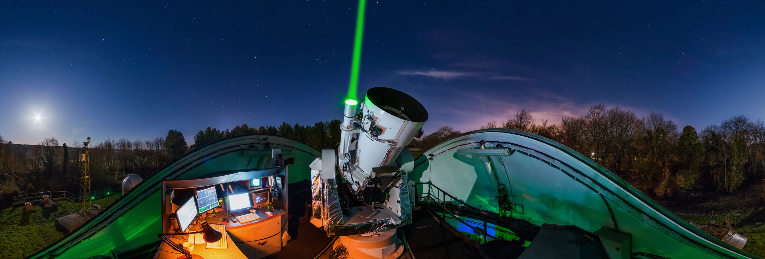
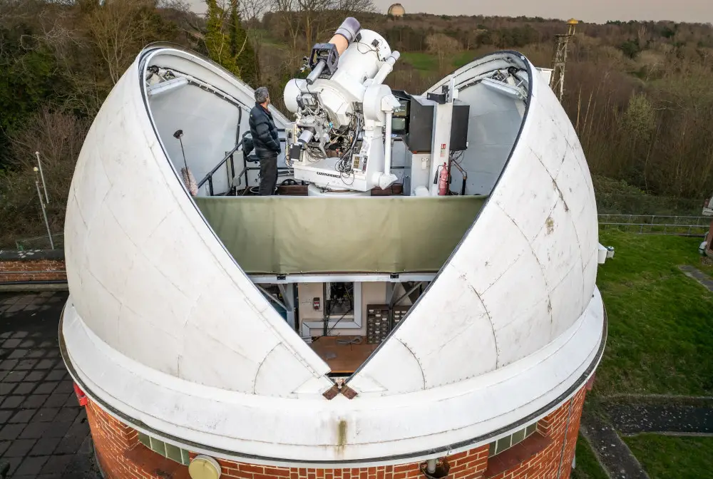
The Space Geodesy Facility (SGF) is located in Herstmonceux, East Sussex. It is part of an international network of geodetic observatories making the observations that help unlock the power of precise positioning technologies to enhance both our daily lives and our understanding of the processes driving global change.
Geodesy provides the underpinning layer of information that lets us know where we are on, under or above the surface of the Earth. This enables us to perform effective disaster and risk management, predicting where problems will happen and enhancing the quality of our response. Satellites that are critical to our understanding of the long-term processes influencing the climate rely on geodesy to provide the precise orbits that locate their observations in space and on the ground.
By measuring gravity and how it changes over time and place, geodesy can reveal the way mass is distributed and transported around the globe. For example, tectonic movement, polar ice melting or, at a smaller scale, groundwater depletion can all be monitored and their impacts assessed by watching the effect they have on gravity.
Find out more about this facility
The science of Geodesy
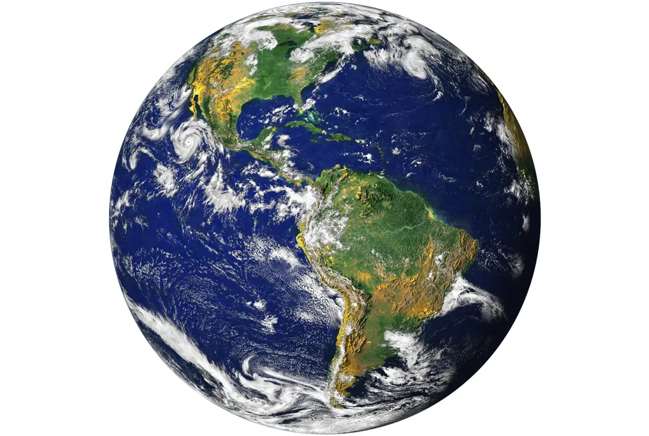
Geodesy is the measurement of the size, shape, gravity field and rotation of the Earth and how these change over time.
Satellite laser ranging
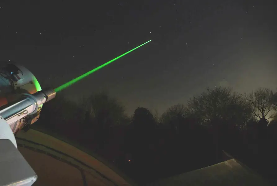
Accurately timing short laser pulse return journeys to satellites carrying retro-reflector targets. Satellite laser ranging or SLR can achieve range measurements to a variety of different scientific satellites ranging in height from 300 km to 42 000 km to an accuracy of approximately 1 cm.
Gravimetry
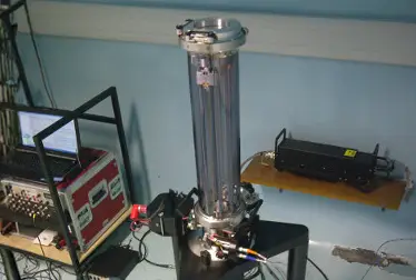
Measuring the acceleration due to gravity at the Earth’s surface can reveal the vertical motion of the Earth’s crust as well as mass changes above and below the instrument.
Analysis at SGF
The SGF is an ILRS Analysis Centre and performs regular data analysis of the other geodetic techniques.
Supporting satellite science
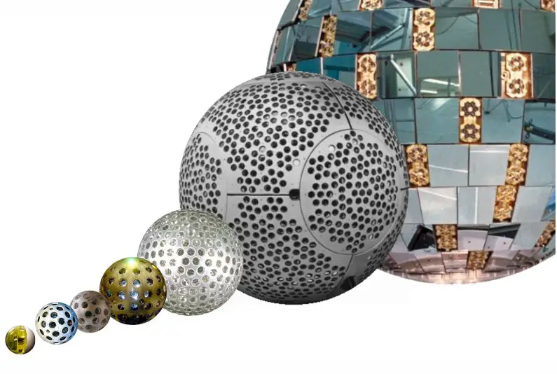
Many of the satellites measuring the Earth and its processes rely on precise orbital information, these critical missions are directly tracked by the SLR at SGF.
Detailed systems info
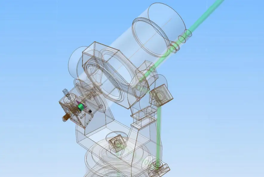
The many parts that make up the SGF include optical, electronic, software and mechanical components.
Latest news
Mystery of one of the earliest recorded space weather impacts solved
17/09/2026
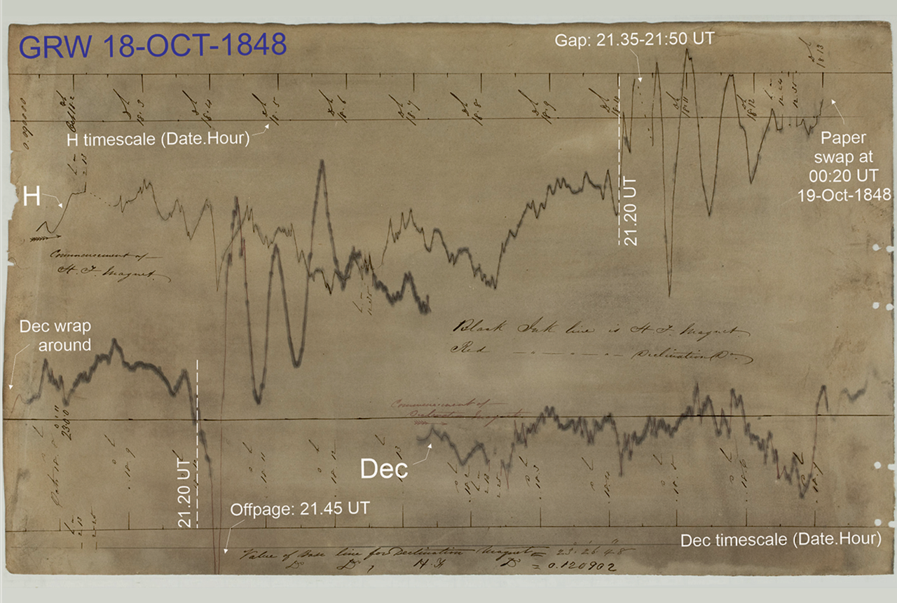
BGS scientists were part of an international team that has solved a 178-year-old mystery surrounding one of the earliest recorded examples of space weather affecting technology.

What lies beneath Europe’s sinking ground?
01/09/2026
Land subsidence is becoming increasingly visible across Europe. New research examines how better monitoring, shared data and a deeper understanding of the subsurface can help assess and manage its impacts.
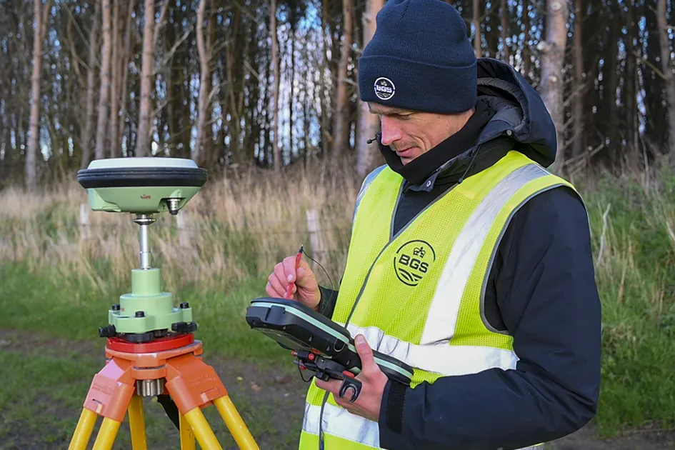
‘Three norths’ set to leave England and not return for hundreds of years
12/12/2025
The historic alignment of true, magnetic, and grid north is set to leave England, three years after they combined in the country for the first time since records began.
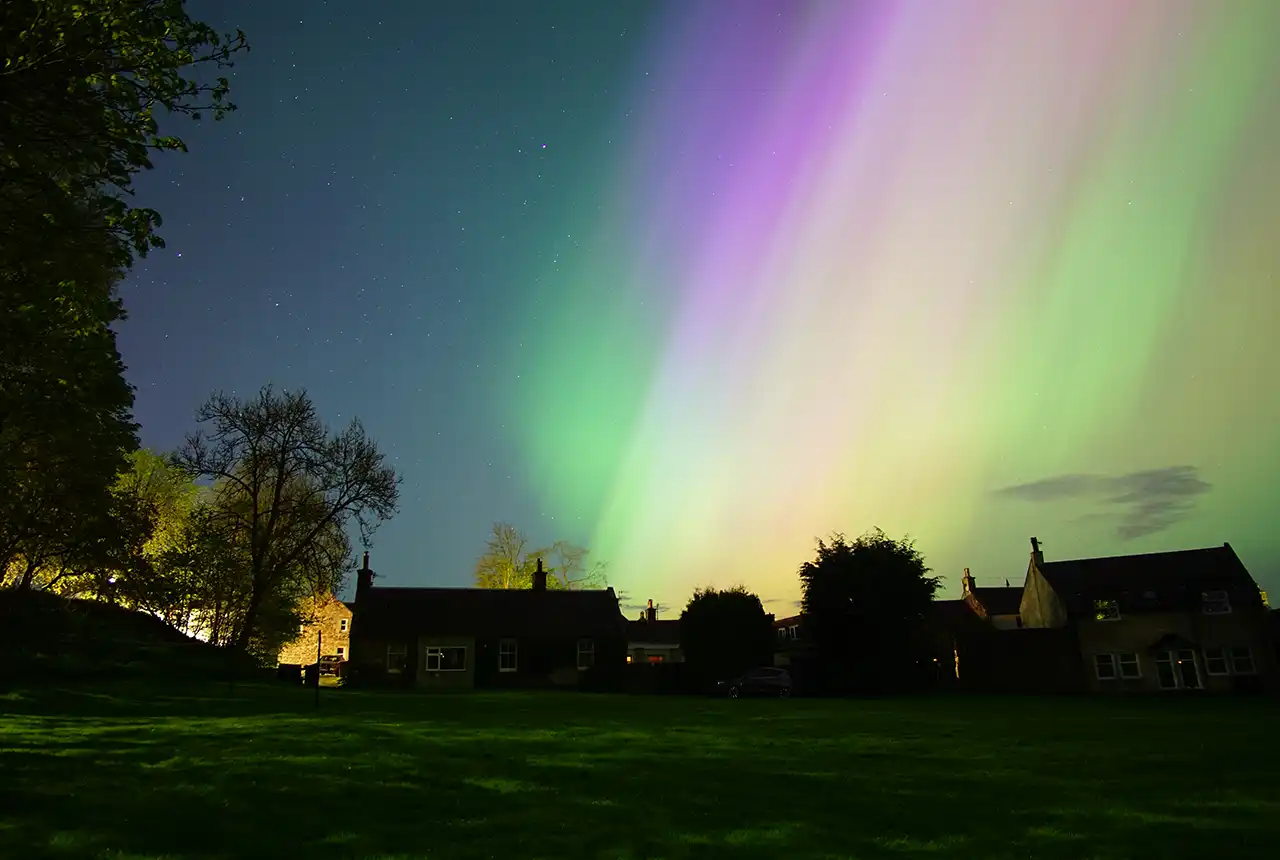
UK braced for what could be the largest solar storm in over two decades
12/11/2025
Intense geomagnetic activity could disrupt technology such as communication systems, global positioning systems and satellite orbits.

GSNI project wins multiple awards at RegioStars event
17/10/2025
The AGEO project enjoyed a double success at the RegioStars awards, hosted at the European Commission in Brussels.
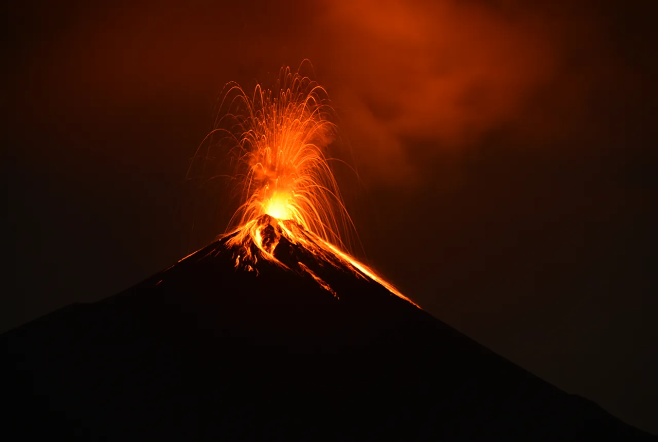
Fieldwork on Volcán de Fuego
13/10/2025
Understanding how one of the world’s most active volcanoes builds up material, and how they collapse to feed hot flows
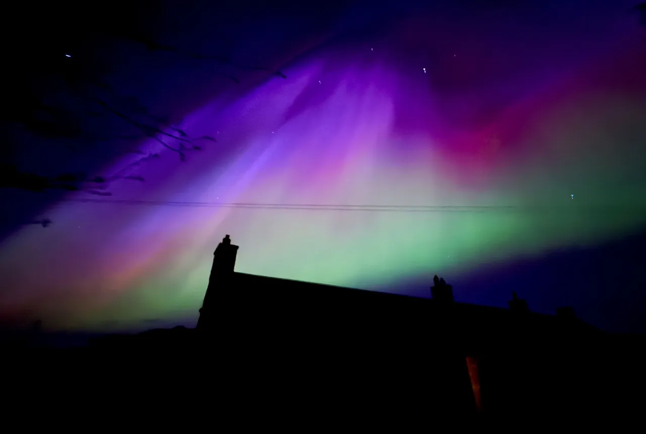
UK scientists in awe-rora as national coverage of magnetic field complete for the first time
23/09/2025
New sensors being installed across the UK are helping us understand the effects that extreme magnetic storms have on technology and national infrastructure.

AI and Earth observation: BGS visits the European Space Agency
02/07/2025
The newest artificial intelligence for earth science: how ESA and NASA are using AI to understand our planet.
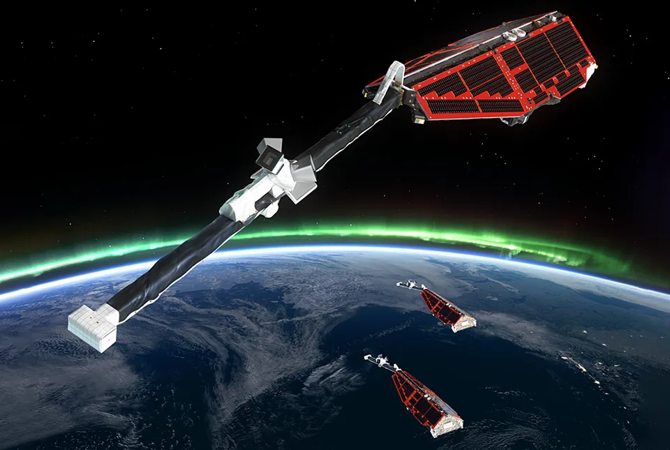
New global space weather hazard index launched
17/01/2025
The new index provides a near-real time, global picture of geomagnetic variations helping to highlight the effects of space weather.
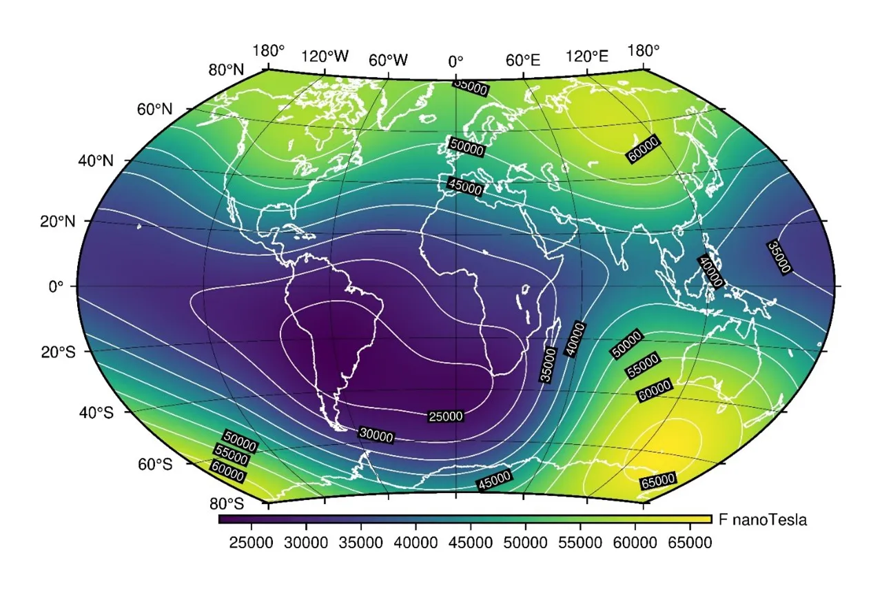
Update to essential scientific reference maps reveals new movement of the Earth’s magnetic field
01/01/2025
The international science community has released an update to the International Geomagnetic Reference Field, a model created for the public good and used by scientists around the world.
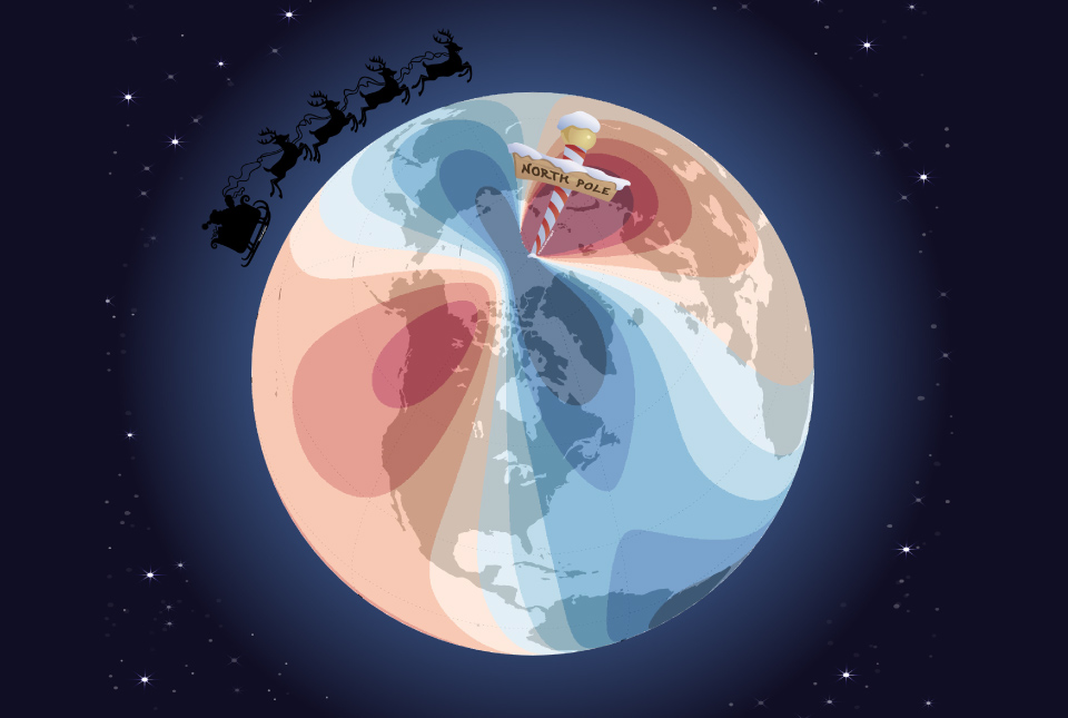
Airlines, shipping companies and sleigh drivers rush to update crucial navigation systems ahead of Christmas rush
17/12/2024
Release of major upgrade to a new model tracking magnetic north prompts global reset of satellite tracking systems across trade and passenger transport routes.
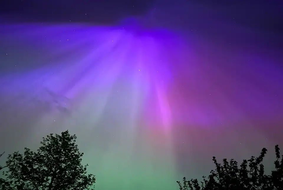
A-roaring display
16/05/2024
The dazzling and colourful aurora borealis, or northern lights, observed by many across the UK last weekend was one of the most extreme and long-lasting geomagnetic storms recorded in the last 155 years.
You may also be interested in

Geomagnetism
Measuring, recording and interpreting variations in the Earth’s magnetic field including those caused by space weather
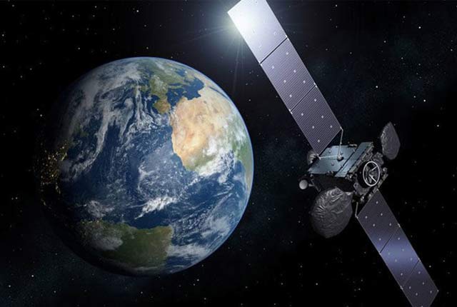
Geodesy and Earth observation
Developing and using innovative Earth observation techniques to characterise and monitor Earth processes that affect lives and livelihoods.