The mainland of Great Britain is surrounded by over 11 000 miles of coastline. It is a very diverse coast in terms of both geology and geomorphology, ranging from the high chalk cliffs of Sussex to the flat expanses of The Wash and Morecambe Bay.


Coastal resilience is a key issue for our island nation and especially those who live and work around our coastline.
Our fragile coastline
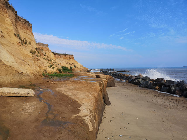
The coast has been shaped by the continual forces of erosion from the wind, waves and tide, and the characteristics and composition of the coastline will dictate its degree of vulnerability. This was starkly demonstrated by the winter storms of 2013 to 2014, which resulted in widespread damage to infrastructure, such as the mainline railway at Dawlish in Devon and undermining of properties along the Norfolk coast at Hemsby.
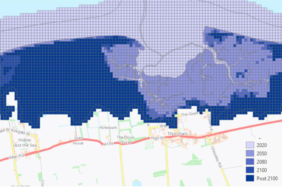
With climate change forecasts of an increase in the frequency and intensity of winter storms, BGS has released its GeoCoast data product, drawing on existing BGS datasets and expertise and working in collaboration with other organisations to help manage these changes in the future.
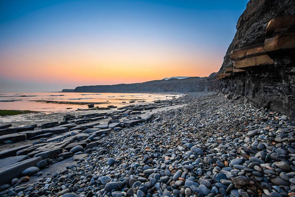
Jurassic coast, Dorset. Image © Roman Grac from Pixabay.
GeoCoast
Our GeoCoast data products offer anyone with assets or an interest in the coastline around Great Britain access to easy-to-use datasets linked to geohazard data. This allows users to interpret potential interdependencies in terms of erosion, flooding, habitat and other vulnerabilities. GeoCoast represents the natural geological coastline as if no coastal defences or made ground are present. This will be of particular value in areas where coastal defences are no longer maintained.
Coastal case studies
A series of storymap coastal case studies are now available:
Access the GeoCoast datasets
GeoCoast Premium
GeoCoast is an integrated GIS package of datasets designed to inform and support coastal management and adaptation.
GeoCoast Open
GeoCoast Open provides a range of historic images and diagrams extracted from our archives, memoirs and other publications, which can provide a reference for coastal change.
Contact
If you want to discover more then please contact Katy Lee.
You may also be interested in

Hazard and resilience modelling
Developing new and innovative data products that deliver geoscientific information to a range of users in an accessible form.