Key information
Scale:
1:100 000Coverage:
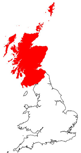
ScotlandAvailability:
LicensedFormat:
GIS polygon data (ESRI, MapInfo, others available by request)Price:
£0.44 per km2. Subject to number of users, licence fee and data preparation fee.
Uses:
Local-level useGet Data
Free access
Our free data is available under the Open Government Licence. Please acknowledge reproduced BGS materials.
Download sample dataPaid access
Supporting documents
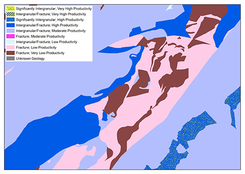
The BGS has produced a suite of hydrogeological maps of Scotland. The suite comprises two layers: groundwater vulnerability and aquifer productivity (bedrock and superficial).
Groundwater vulnerability layer
Groundwater vulnerability is the tendency and likelihood for general contaminants to move vertically through the unsaturated zone and reach the water table after introduction at the ground surface. The groundwater vulnerability map shows the relative vulnerability to contamination of groundwater at the uppermost water table.
Aquifer productivity layer
The aquifer productivity maps describe the potential of bedrock and superficial deposit aquifers across Scotland to sustain various levels of borehole water supply, plus the dominant groundwater flow type in each aquifer. They have been used to help characterise groundwater bodies as required by the Water Framework Directive and are useful in policy development to prioritise water supply and site investigations, to inform planning decisions and to improve awareness of groundwater in general.
Download hydrogeological maps sample data
You may also be interested in
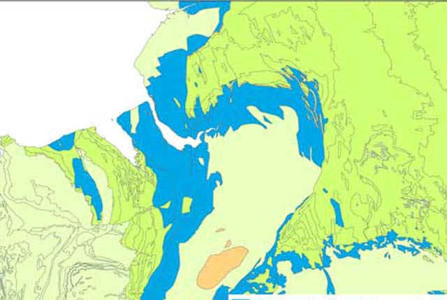
Hydrogeology 625K digital hydrogeological map of the UK
The hydrogeological map indicates aquifer potential in generalised term.
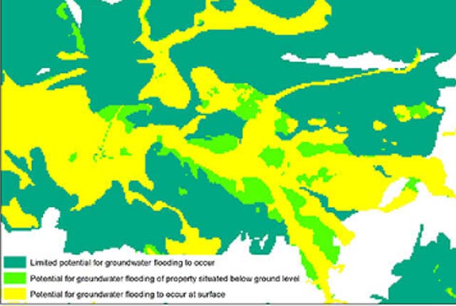
Groundwater flooding
In response to the need for more information on groundwater flooding, BGS has produced the first national dataset on the susceptibility across Britain.
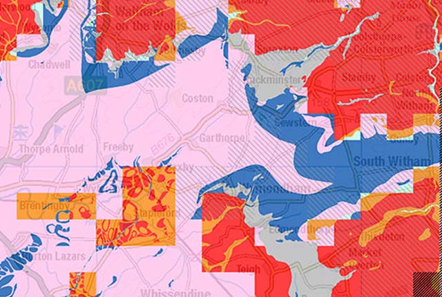
Groundwater vulnerability data
Our groundwater vulnerability maps provide an assessment of the vulnerability of groundwater in overlying superficial rocks and those that comprise the underlying bedrock.


