Datasets
These are our most popular and influential datasets. For a comprehensive list of all BGS data, please visit the BGS Metadata Catalogue
 Data Preview
BGS Civils is a suite of national maps of engineering properties based on geological data and the digital 1:50 000 scale geological map – BGS Geology 50k.
- Premium
- 1:50 000
- Great Britain
Data Preview
 Data Preview
The BGS corrosivity dataset is a GIS layer supporting the management of underground iron assets that has been created in response to the growing awareness of the cost of maintenance of structures such as pipelines and building foundations.
- Premium
- 1:50 000
- Great Britain
Data Preview
 Data Preview
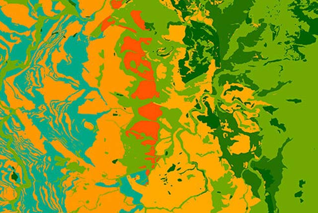
This theme provides information on the discontinuities in bedrock and superficial deposits as part of a suite of GIS layers for different engineering parameters.
- Premium
- 1:50 000
- Great Britain
Data Preview
 Data Preview
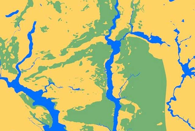
This theme provides information on the suitability of a geological material to be used as engineered fill.
- Premium
- 1:50 000
- Great Britain
Data Preview
 Data Preview
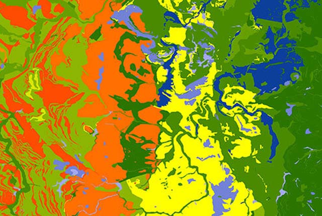
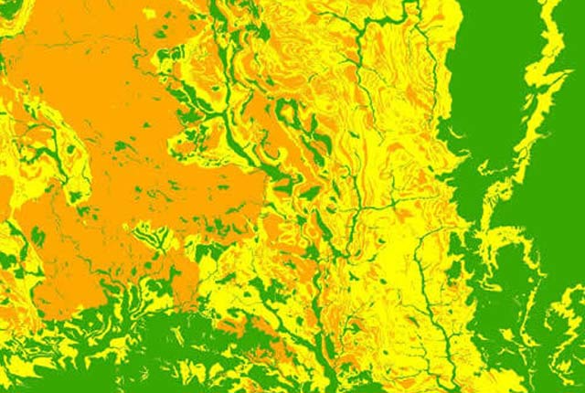
This theme provides information on the excavatability of geological deposits at surface.
- Premium
- 1:50 000
- Great Britain
Data Preview
 Data Preview
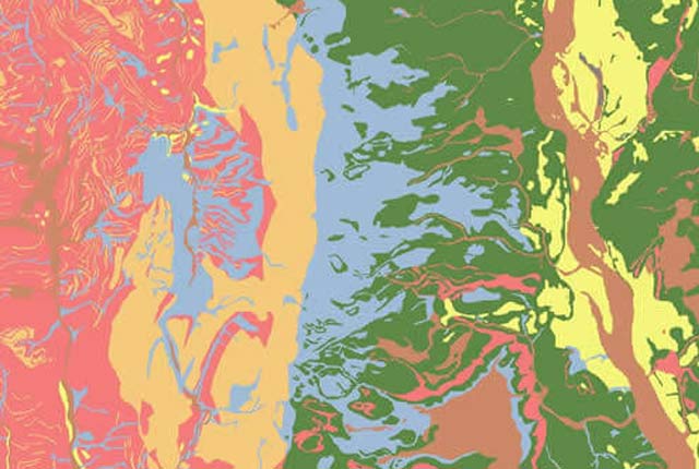
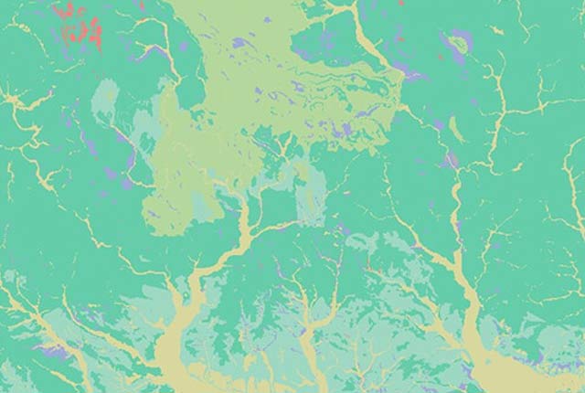
This theme provides information on the suitability of a geological material for foundations as part of a suite of GIS layers for different engineering parameters.
- Premium
- 1:50 000
- Great Britain
Data Preview
 Data Preview
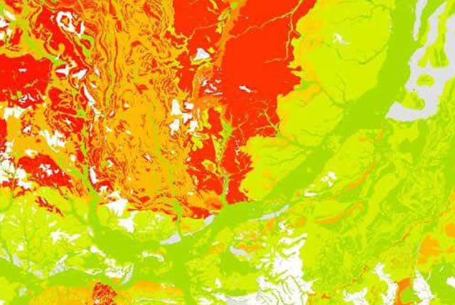
This theme provides information on zones of rock strength and the local factors controlling it, as part of a suite of GIS layers for different engineering parameters.
- Premium
- 1:50 000
- Great Britain
Data Preview
 Data Preview
The BGS Civils: sulfates and sulfides dataset is a GIS layer that supports the management of underground assets
- Premium
- 1:50 000
- Great Britain
Data Preview
As a result of our annual price review BGS will apply, in most cases, a 3 percent increase* to our direct licence fees for our data products from 1st April 2026. This means that any direct licence issued or renewed on or after 1 April 2026 will reflect this increased price. Existing data licensees will not be affected until such time as their licence is next due for renewal, after 1 April 2026. BGS undertakes annual price reviews and will communicate any future licence fee changes (from 2027) as appropriate.
If you have any queries regarding this matter, please contact the IPR digital team (iprdigital@bgs.ac.uk).
* Due to the specific pricing of individual datasets please note not all price changes will equate exactly to 3%.