We encourage users to mashup OpenGeoscience material with their own data in new and innovative ways by adding new functionality or interfaces.
We can draw inspiration and know-how from mashups from the developer community to help us develop robust new products for the benefit of society. Contact us if you create something new and innovative that could benefit others.
Example mashups
These mashups use geological map data at different scales and applications such as:
- ArcGIS Explorer
- ArcGIS Server
- ArcWatch
- Google Maps
- MapInfo
- Ordnance Survey OpenSpace
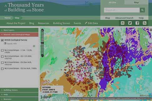
A Thousand Years of Building with Stone
The Herefordshire & Worcestershire Earth Heritage Trust recorded the history of stone use in heritage buildings across the region.
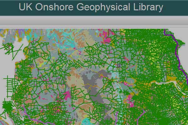
UK Onshore Geophysical Library
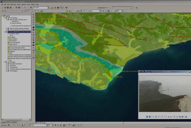
The UK Onshore Geophysical Library (UKOGL) manages the archive and official release of 2D and 3D seismic data recorded over landward areas of the UK. Its interactive map uses BGS geology web services to present background imagery.
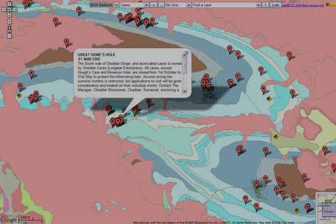
Bracknell District Caving Club
Combining BGS geology with cave information and Google Maps in the Mendips area.
EarthObserver for iPhone
Explore your planet as never before with the mobility of EarthObserver by Columbia University. Use your fingertips to exploit a rich atlas of earth and environmental imagery.
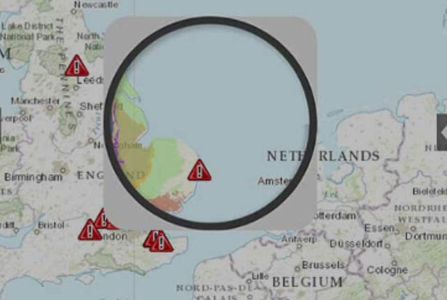
Earthquake Lite for iOS
A free app by Mobeezio, Inc. for iOS devices that delivers live earthquake date to your phone using data from numerous services including the the US Geological Survey, GeoNet and the BGS among others.
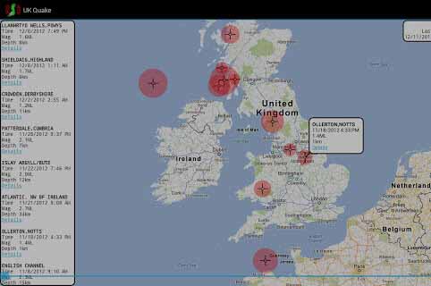
UK Quake for Android
UK Quake, by Ear to Ear Oak, maps up to the last 50 days’ worth of earthquakes in and around the UK, displaying location, magnitude and depth with links to more detailed information at the BGS.
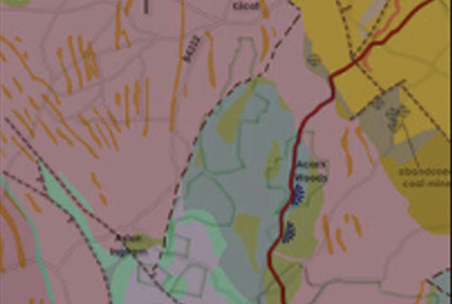
UK Flooding sinkholes map
This map from ESRI lets you investigate sinkholes around the UK caused as a result of heavy rainfall. Use the spyglass viewer to see the underlying geology for each sinkhole. Data provided by the EA, NRW, BGS and the MET office.
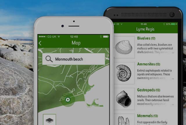
Fossil Explorer
The Natural History Museum have used BGS data to create the Fossil Explorer app where you can identify rocks in Britain based on the age of the rocks where the fossils are found.
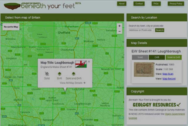
Geology Resources: Beneath Your Feet
Geology Resources’ Beneath Your Feet is a service to make it easier to access the high-resolution geological maps published by the BGS. This service provides an easy means of accessing maps for a particular location.
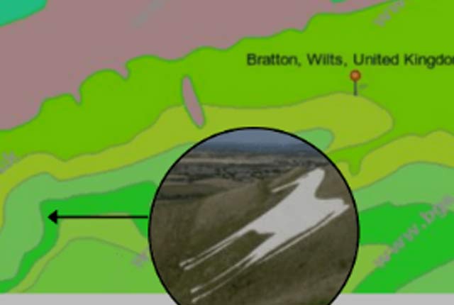
Geopark Way Newent app for iOS
The app by BrooksDesigns guides your walk along the Newent to Huntley section of the Abberley and Malvern Hills Geopark Way — a 109-mile walk running between Bridgnorth in Shropshire to Gloucester Cathedral.
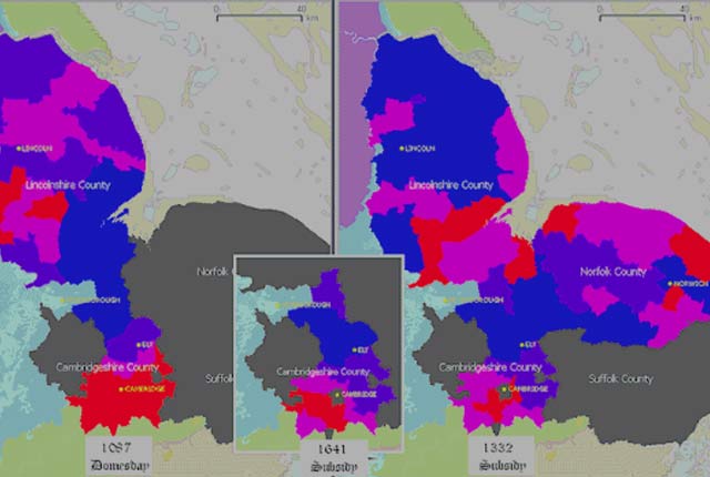
Historic Fenlands
This app by Andrew Zolnai combines land cover data, geographic data, geology data and coastline data to create a geographic history of land cover and surface geology of East Anglia since Domesday.
OpenStreetMap
Tlatet has combined BGS data with crowdsourced geographic data for OpenStreetMap.
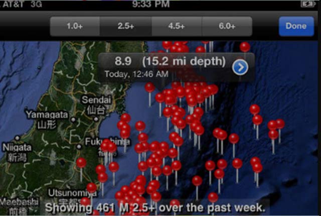
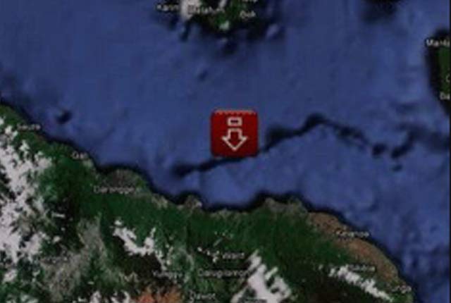
QuakeWatch
A reference guide by LateNightProjects to the latest magnitude 1.0 and larger earthquakes from around the world. Find out when they happened, where they happened, how big they were and more.
Earth Learning Idea: igneous intrusions and lavas
Opening geological maps to the world. This app uses our Geology of Britain web browser to explore how geological features appear on maps and how the formations are linked to relief features.
Earth Learning Idea: tilted and folded rocks
Opening geological maps to the world. This app uses our Geology of Britain web browser to explore how geological features appear on maps and how the formations are linked to relief features.
ESRI ArcWatch
ArcWatch combines our geological WMS services with Google Maps. This example uses our 1:625 000-scale data. View the source code to see how we did it.
You may also be interested in:

Technologies
Applications, software and online services created by the BGS and our collaborators.