Relative topics
5 results for "radon"

News and events
World Cities Day: the geological story of our cities
Understanding the rocks that underlie our towns and cities, the risks they can present and how they influence urban planning and redevelopment.
News and events
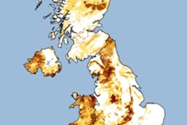
Updated radon map for Great Britain published
The UK Health Security Agency and BGS have published an updated radon potential map for Great Britain.
Data search
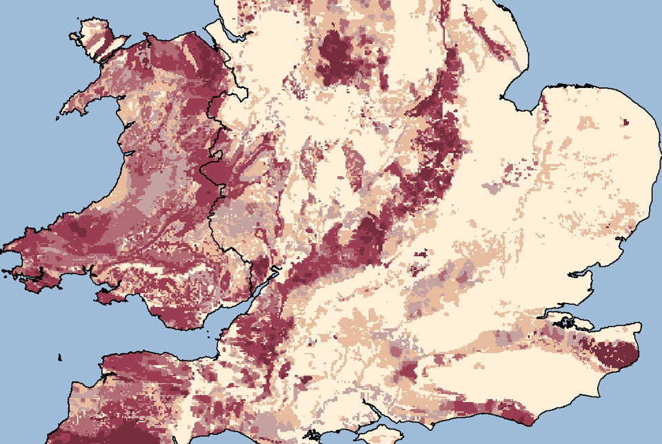
Indicative atlas of radon in Great Britain WMS
Public Health England and the BGS have published a map showing where high levels of radon are more likely, which is provided as a web map service (WMS).
Data search
Indicative Atlas of Radon
Radon is a natural radioactive gas, which enters buildings from the ground. Exposure to high concentrations increases the risk of lung cancer.
Data search
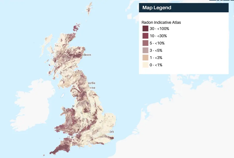
Radon potential
The radon potential dataset is the definitive map of radon-affected areas in Great Britain and Northern Ireland, created jointly by UK Health Security Agency (UKHSA) and the BGS.