Relative topics
6 results for "modelling"
News and events
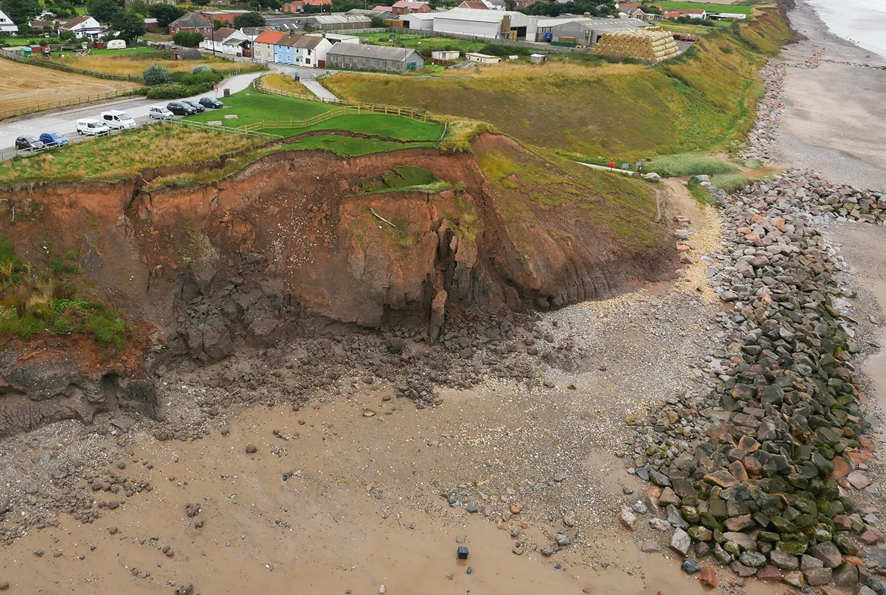
What does the next generation of coastal environmental models look like?
A new tool is now available that has been designed to help coastal engineers and practitioners better manage the compound risk of coastal erosion and flooding.
News and events
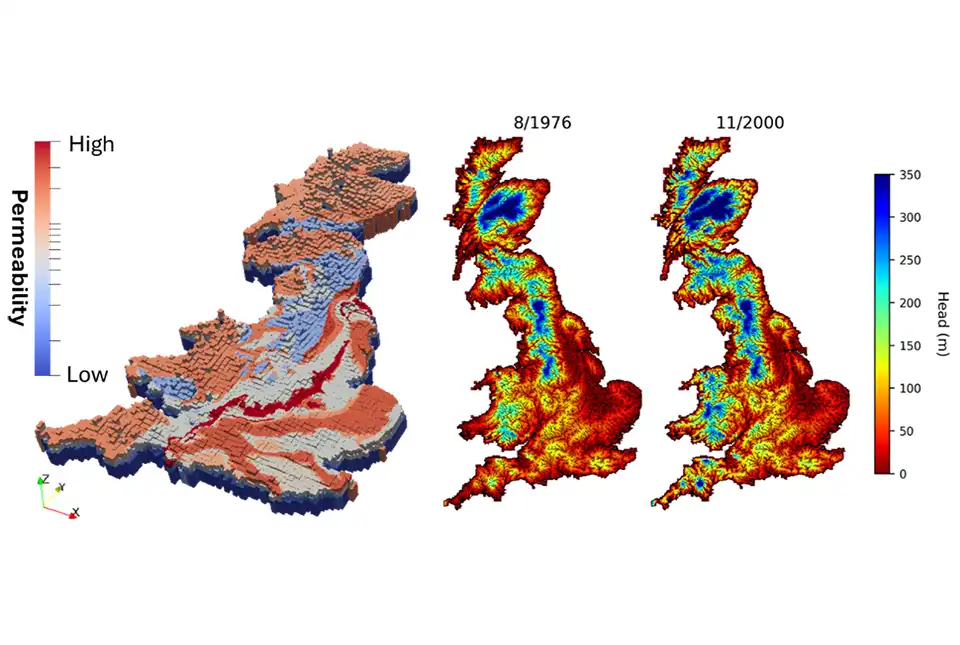
First national-scale groundwater model in Great Britain developed
BGS has developed a new model that provides a unique tool for simulating groundwater resources at a national scale.
News and events
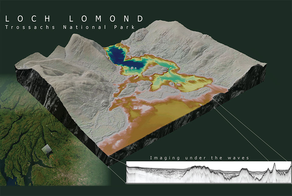
What lies beneath Loch Lomond?
BGS geoscientists have visualised what lies beneath the waves of Loch Lomond, revealing an image of the loch bed and various sedimentary features of the subsurface.
News and events
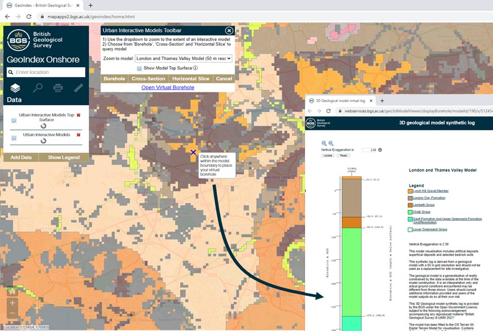
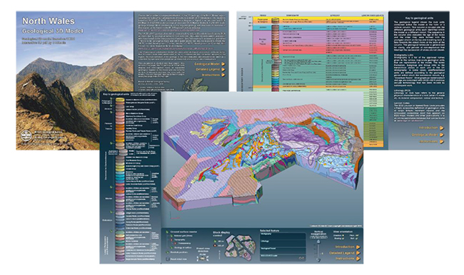
New tool provides users with free access to geological models for three major UK cities
A new tool providing free user access to 3D geological models has been added to the GeoIndex.
News and events
Five minutes with … the BGS Hazard and Resilience Modelling team
Meet the team behind our geohazard products and datasets.
News and events