Relative topics
53 results for "maps and models"

New BGS GeoIndex viewer released for user testing
The premium map-viewing application has been given a major upgrade and made available as a beta release.

New seabed sediment maps reveal what lies beneath the waves
Marine ecosystem science and offshore infrastructure will be boosted by a new dataset showing sediment composition across the UK continental shelf.
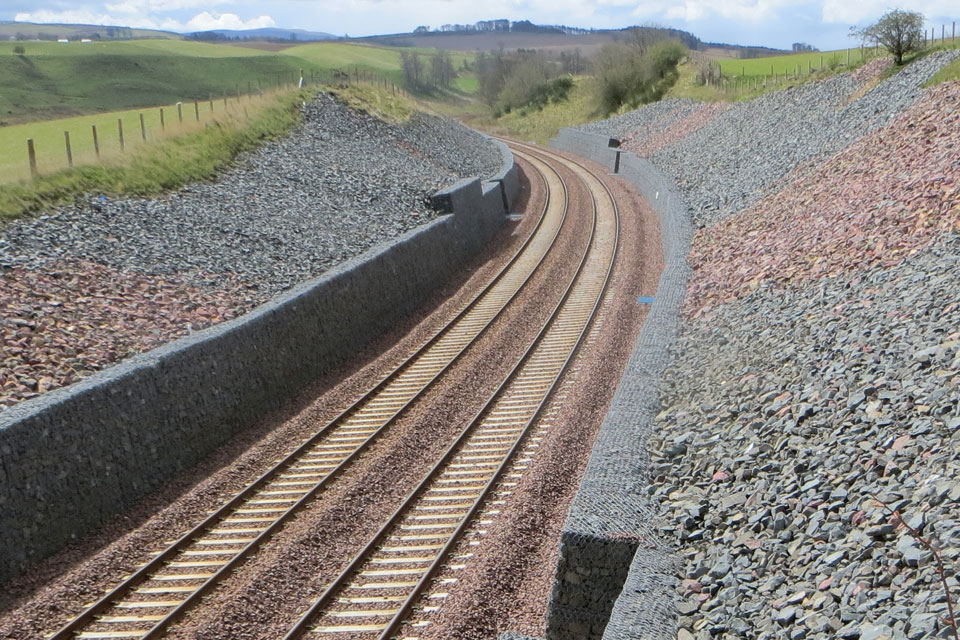
BGS artificial ground data: what do you need from a geological survey?
BGS is seeking user feedback on artificial ground data: how you use it, what information you consider, and what we can do to improve our offering.
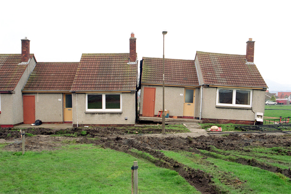
Is your region susceptible? Britain’s geohazard hotspots revealed
From sinkholes to radon: new maps highlight the most geologically at-risk regions
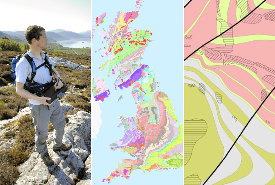
BGS digital geology maps: we want your feedback
BGS is asking for user feedback on its digital geological map datasets to improve data content and delivery.
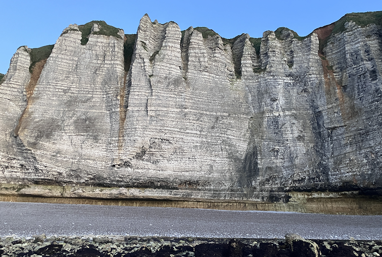
Geology sans frontières
Geology doesn’t stop at international borders, so BGS is working with neighbouring geological surveys and research institutes to solve common problems with the geology they share.
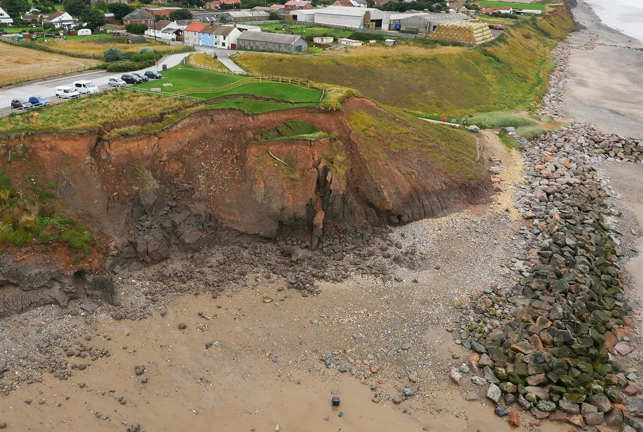
What does the next generation of coastal environmental models look like?
A new tool is now available that has been designed to help coastal engineers and practitioners better manage the compound risk of coastal erosion and flooding.
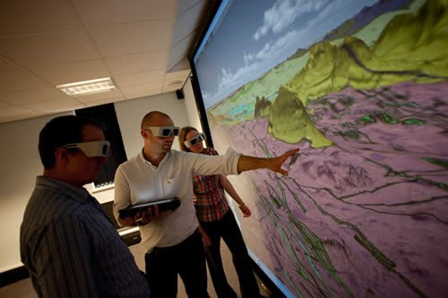
Celebrating 20 years of virtual reality innovation at BGS
Twenty years after its installation, BGS Visualisation Systems lead Bruce Napier reflects on our cutting-edge virtual reality suite and looks forward to new possibilities.