Relative topics
5 results for "geoscour"
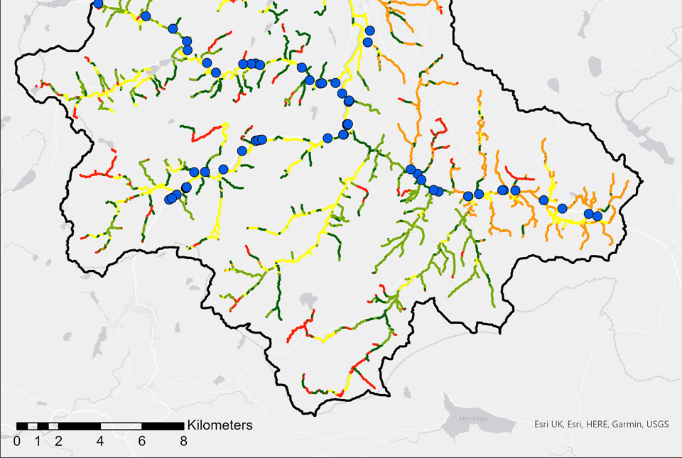
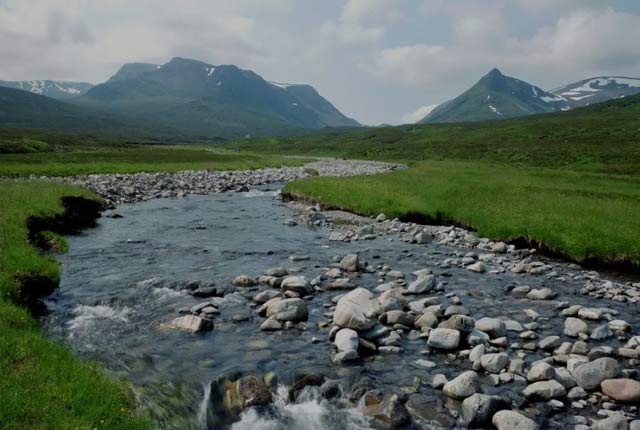
BGS GeoScour: bridging the river erosion data gap
The geological properties of bedrock and superficial deposits that make up riverbeds and banks are fundamental controls on the susceptibility of any given river reach to scouring.
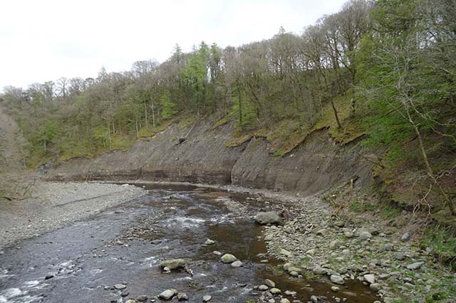
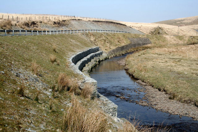
River erosion: the forgotten hazard of flooding
Impacts from flood events can be widespread, long-lasting and extremely costly. The UK Government and environmental protection agencies continue to invest heavily in mitigation measures, as well as trying to predict which areas are most at risk.
GeoScour dataset launch event
Access a recording of our 30-minute webinar for an overview of river scour and its associated river erosion hazards, including surface geology susceptibility and bedrock geology susceptibility.
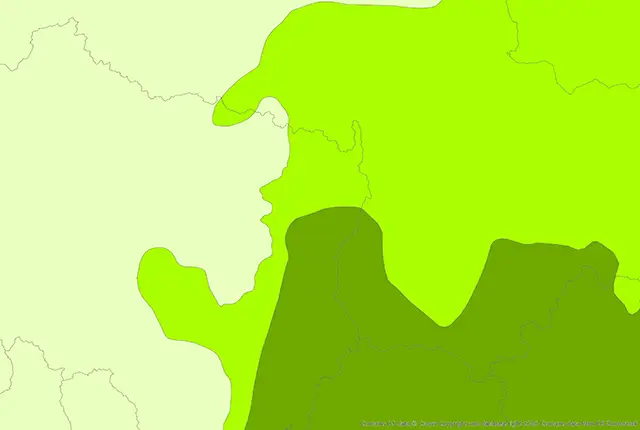
BGS GeoScour Open
The BGS GeoScour Open datasets provide a generalised overview of the natural characteristics and properties of catchment and riverine environments for the assessment of river scour in Great Britain.
BGS GeoScour Premium
The BGS GeoScour datasets provide a generalised overview of the natural characteristics and properties of catchment and riverine environments for the assessment of river scour in Great Britain.