UK’s mineral production, consumption and trade revealed in new report
BGS has published the United Kingdom Minerals Yearbook 2020, with partners the Confederation of British Industry Minerals Group and Mineral Products Association
06/04/2021 By BGS Press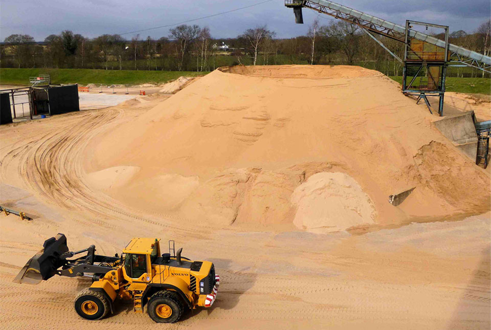

The British Geological Survey (BGS) has published the United Kingdom Minerals Yearbook 2020, with partners the Confederation of British Industry Minerals Group (CBI MG) and the Mineral Products Association (MPA).
The yearbook, first published in 1853, provides comprehensive statistical data on the UK’s minerals industry, including production, consumption and trade.
This research provides decision makers with reliable, up-to-date information on the UK’s minerals industry and quantifies its impact on the economy.
Minerals studied in the report include petroleum, gas, tin, gold, diamond as well as lesser-known but essential tellurium, strontium and everyday minerals like salt.
The United Kingdom Mineral Yearbook 2020 contains key findings such as:
- Sand and gravel were worth £934 million to the UK economy in 2019, compared to £584m in 2013
- Coal was worth just £132 million to the UK economy in 2017, compared to £780 million in 2013
- Coal production has declined from 12,768 thousand tonnes in 2013 to 2,166 in 2019, a decrease of over 80%
- Production of crushed rock has risen from a historic low in 2009 of 91,103 thousand tonnes, to 129,300 thousand tonnes in 2019, showing a gradual recovery in the construction sector and wider economy.
- Iron and steel production has dropped by 33% in the last five years
For UK consumption of energy wind and hydro electricity have risen to 5% of the total whereas coal has dropped to 2%, petroleum, gas and nuclear have remained stable.
Relative topics
Latest news

Updated geological assessment of the Southern North Sea set to underpin future offshore infrastructure development
25/03/2026
The first regional assessment for 30 years will support offshore marine and subsurface planning for the UK’s low-carbon energy infrastructure, including the 2030 target of 45 to 50 GW generated through offshore wind.

New research could help provide a more reliable water supply for millions in rural Africa
24/03/2026
A new BGS-led study has revealed crucial insights into the longstanding challenges affecting the reliability and performance of rural water supply infrastructure in sub-Saharan Africa.

Call for new members and Chair to join the NERC facilities steering committees
25/02/2026
New members are needed to join the committees over the next four years.

Your views wanted: developing a geothermal energy subsurface data portfolio
24/02/2026
BGS is aiming to support the growth of the sector by providing the best-available, location-specific geothermal and ground source heat information as an accessible product or service.

Map of BGS BritPits showing the distribution of worked mineral commodities across the country
18/02/2026
BGS’s data scientists have generated a summary map of the most commonly extracted mineral commodities by local authority area, demonstrating the diverse nature of British mineral resources.

Funding awarded to map the stocks and flows of technology metals in everyday electronic devices
12/02/2026
A new BGS project has been awarded Circular Electricals funding from Material Focus to investigate the use of technology metals in everyday electrical items.

New UK/Chile partnership prioritises sustainable practices around critical raw materials
09/02/2026
BGS and Chile’s Servicio Nacional de Geología y Minería have signed a bilateral scientific partnership to support research into critical raw materials and sustainable practices.

Extensive freshened water confirmed beneath the ocean floor off the coast of New England for the first time
09/02/2026
BGS is part of the international team that has discovered the first detailed evidence of long-suspected, hidden, freshwater aquifers.

Funding secured to help mitigate ground risk in UK construction sector
05/02/2026
The BGS Common Ground project has been awarded new funding to help unlock the value of ground investigation data.

Can sandstones under the North Sea unlock the UK’s carbon storage potential?
02/02/2026
For the UK to reach its ambitious target of storing 170 million tonnes of carbon dioxide per year by 2050, it will need to look beyond the current well-studied geographical areas.

Quaternary UK offshore data digitised for the first time
21/01/2026
The offshore wind industry will be boosted by the digitisation of a dataset showing the Quaternary geology at the seabed and the UK’s shallow subsurface.

Suite of ten new soil reference materials released
02/01/2026
BGS has a longstanding track record of producing high-quality reference materials and has released ten new soil reference materials.