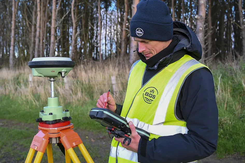
News and events

Latest

Everest@ECORD_IODP3_NSF
BGS news

BGS scientists join international expedition off the coast of New England

20/05/2025

Latest IODP research project investigates freshened water under the ocean floor.

Show more
Wind turbines in England. © Eclipse Chasers, Pexels.
BGS news

New interactive map viewer reveals growing capacity and rare earth element content of UK wind farms

16/05/2025

BGS’s new tool highlights the development of wind energy installations over time, along with their magnet and rare earth content.

Show more
Fieldwork setting up the Abergavenny geomagnetic repeat station BGS © UKRI.
BGS events

NERC Tech Forum 2025

Event on 03/06/2025

Show more
The cliffs at Étretat, showing channelling in the Chalk and well-developed karstic dissolution pipes. BGS © UKRI 2025.
BGS blogs

Geology sans frontières

24/04/2025

Geology doesn’t stop at international borders, so BGS is working with neighbouring geological surveys and research institutes to solve common problems with the geology they share.

Show more

Explore more news

Browse all news and events by category

NthStradbroke_feature
Research highlight
Investigating climate and environmental change in eastern Australia

02/06/2017

Climate change in Australia could lead to environmental and economic impacts on water security, agriculture, coastal communities and infrastructure.

Show more
Team of year award
Research highlight
BGS wins impact award

02/06/2017

The GeoAnalytics and modelling (GAM) directorate have won Team of the Year at the PraxisUnico Impact Awards 2017!

Show more
Geospatial map
Research highlight
Environmental contamination from mine tailings in Africa

02/06/2017

BGS scientists helped with experimental trials to investigate the influence of soil management strategies, on metal uptake of soils.

Show more
St Benedict's Cathedral
Research highlight
Deploying and servicing a seismic network in Central Italy

02/06/2017

BGS seismologists are using the seismicity that is hitting Central Italy to analyse the triggering and evolution of an earthquake sequence.

Show more
GeoSciML
BGS blogs
GeoSciML data standard becomes official

15/03/2017

The OGC GeoSciML Standard defines a model and the encoding for geological features commonly described and portrayed in geological maps, cross sections, geological reports and databases.

Show more

Was this page helpful?

  • How can we make this section better?*

  • Please select a reason*

  • How can we make this section better?*