Latest

Suite of ten new soil reference materials released
02/01/2026
BGS has a longstanding track record of producing high-quality reference materials and has released ten new soil reference materials.

Perth and Kinross tops the UK’s earthquake activity charts for 2025
29/12/2025
Seismologists at BGS have published data on the number of seismic events over the past 12 months with over 300 earthquakes recorded.

Hole-y c*@p! How bat excrement is sculpting Borneo’s hidden caves
23/12/2025
BGS researchers have delved into Borneo’s underworld to learn more about how guano deposited by bats and cave-dwelling birds is shaping the subsurface.
Explore more news
Browse all news and events by category
Funding awarded for study on hydrogen storage potential in North Yorkshire
22/09/2025
A new study has been awarded funding to explore the potential for underground hydrogen storage near the Knapton power plant.
BGS-led paper scoops prestigious award
16/09/2025
New research providing earlier warnings of landslides has been awarded the British Geotechnical Association medal.
Why do we store geological core?
11/09/2025
With space at a premium and the advance of new digitisation techniques, why does retaining over 600 km of physical specimens remain of national importance?

New seabed sediment maps reveal what lies beneath the waves
03/09/2025
Marine ecosystem science and offshore infrastructure will be boosted by a new dataset showing sediment composition across the UK continental shelf.

New geological ‘pathways’ discovered beneath Welsh capital
02/09/2025
Scientists have discovered cavities in the clay underneath Cardiff, which will influence the siting of future geothermal developments.
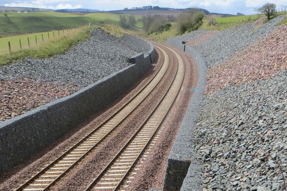
BGS artificial ground data: what do you need from a geological survey?
28/08/2025
BGS is seeking user feedback on artificial ground data: how you use it, what information you consider, and what we can do to improve our offering.
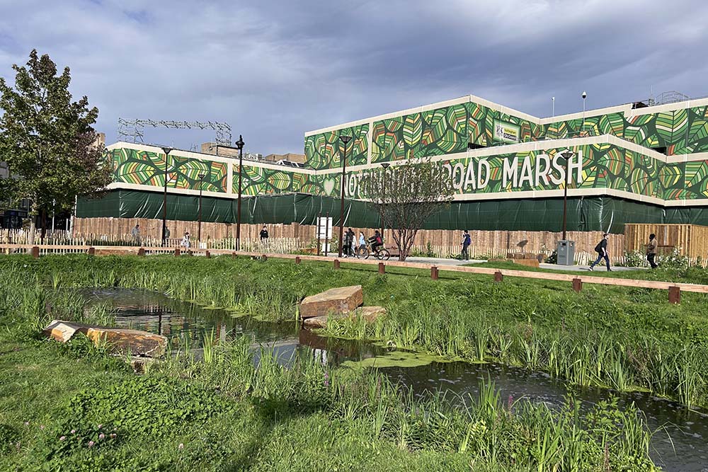
New research published on brownfield land
27/08/2025
National Brownfield Forum research on the interactions of policies affecting the planning and development of brownfield land has been published.

Join our consortium – de-risking underground thermal energy storage
25/08/2025
BGS is inviting interested parties to investigate how site-scale geological data can be used to optimise thermal storage scheme performance.


