Latest

New NERC-funded project empowers young people to engage with environmental science
23/07/2026
BGS is part of a new, collaborative project, funded through NERC’s ‘Opening up the environment’ programme, helping the environmental research community become more accessible.

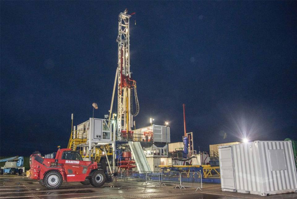
Delving deep into mountains for future water security
16/07/2026
A BGS-led project is using new water-tracing investigation methods, geophysics and modelling to understand how water moves from mountains to the lowlands, helping to improve water security for billions of people.


Building Europe’s geological future
20/07/2026
BGS scientists are contributing to a continent-wide initiative that is strengthening collaboration across borders to tackle shared subsurface challenges and unlock new opportunities.
Explore more news
Browse all news and events by category
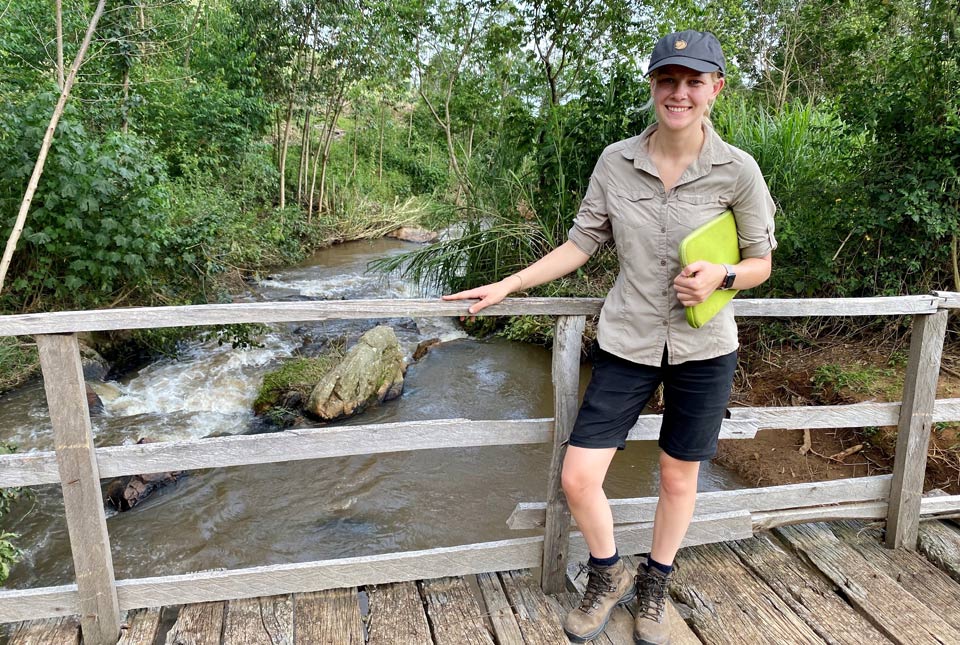
Land-to-lake micronutrient transfer in east Africa
18/03/2021
Sophia shares her experience from her first year as a PhD student with the Inorganic Geochemistry Facility
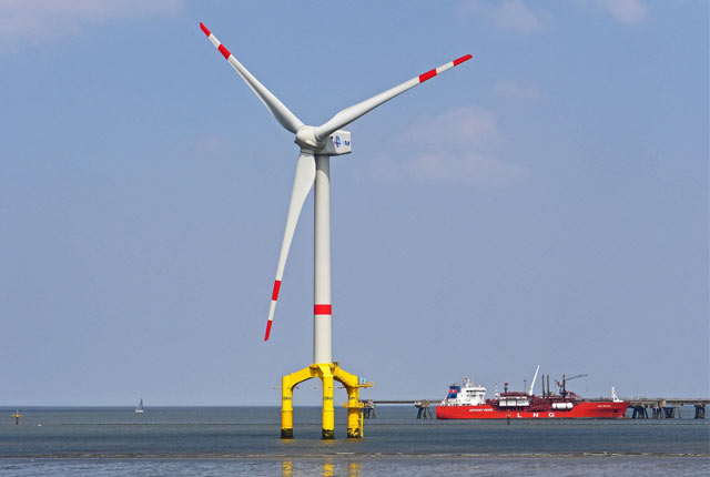
Environmental understanding: adapting to a changing climate
16/03/2021
From food security to mitigating geohazard risks, environmental understanding is essential for mitigation and resilience in a changing climate.
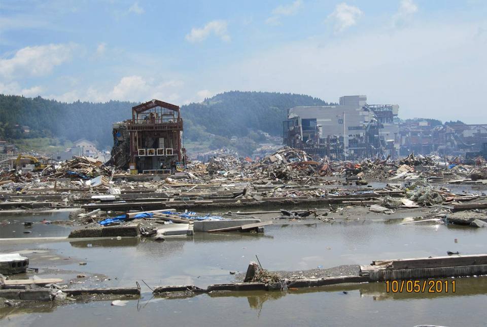
10 years on: the 2011 Great East Japan Earthquake and Tsunami
11/03/2021
In remembrance, Prof David Tappin discusses the importance of tsunami anniversaries
Dadlau dros gyfathrebau dwyieithog
11/03/2021
Welsh geologist Ashley Patton makes the case for sharing bilingual content, especially when working with the public.

Exploding rocks: the UK’s first Selfrag machine
09/03/2021
BGS’s new Selfrag machine is helping to unearth the history of rocks.
The Prees Borehole and the JET Project
24/02/2021
A recent borehole in Shropshire is unearthing new information about the chronology and environments of the Early Jurassic.
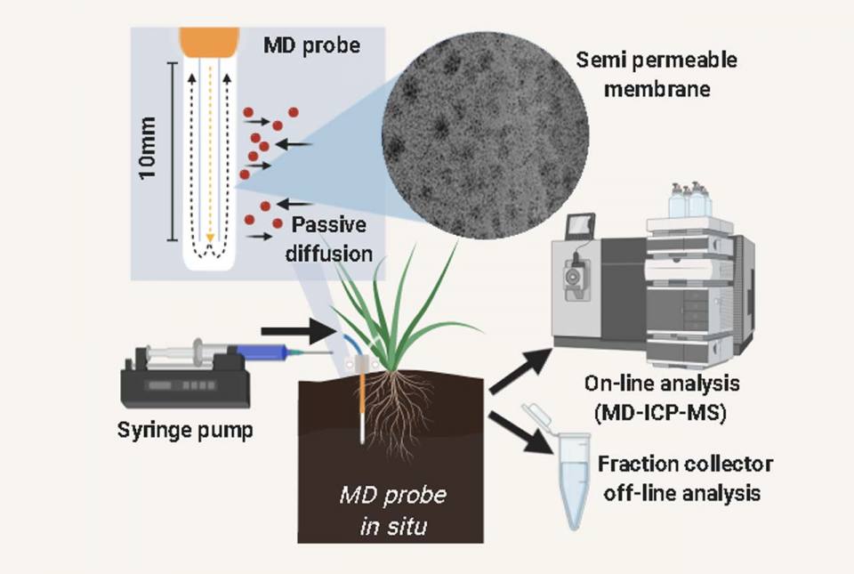
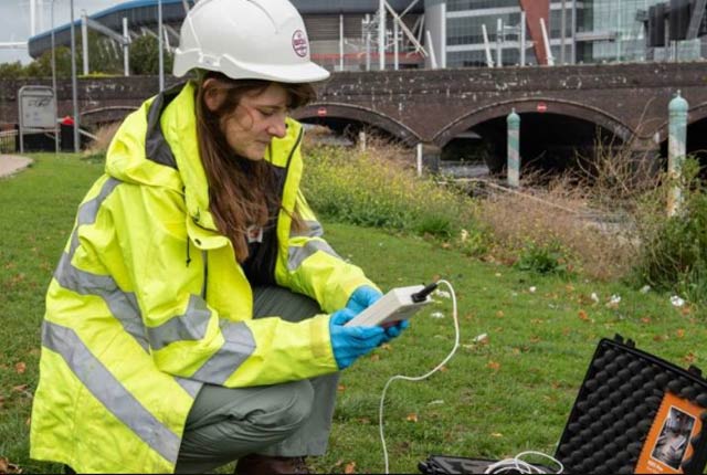
Resolving the unresolved: new insights into soil chemical reactions using microdialysis
15/02/2021
New techniques in soil sampling could be the key to alleviating hidden hunger.
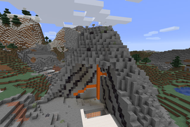
We made a Minecraft volcano!
15/02/2021
Find out how a friend of BGS has been using Minecraft to create educational geological models during lockdown.