Latest

New NERC-funded project empowers young people to engage with environmental science
23/07/2026
BGS is part of a new, collaborative project, funded through NERC’s ‘Opening up the environment’ programme, helping the environmental research community become more accessible.

Delving deep into mountains for future water security
16/07/2026
A BGS-led project is using new water-tracing investigation methods, geophysics and modelling to understand how water moves from mountains to the lowlands, helping to improve water security for billions of people.


Building Europe’s geological future
20/07/2026
BGS scientists are contributing to a continent-wide initiative that is strengthening collaboration across borders to tackle shared subsurface challenges and unlock new opportunities.
Explore more news
Browse all news and events by category

Byte by byte: developing our digital preservation capability
04/11/2021
A brief timeline of the digital preservation journey at BGS and NGDC.

Foundations for a future net zero city?
01/11/2021
The space beneath our cities can play a vital role in supporting climate resilient urban spaces.
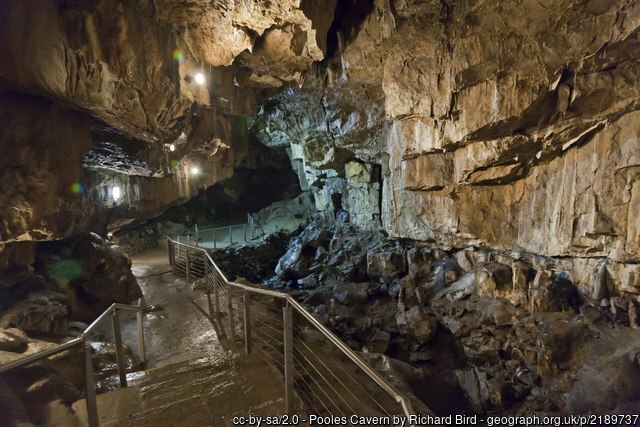
Phosphorus in caves: a new methodological development being pioneered at Poole’s Cavern with the help of BGS
30/09/2021
Alistair Morgan is exploring how phosphorous enters cave systems and if stalagmites could be used to unravel past temperatures.
Wildlife and biodiversity gains at BGS
27/09/2021
Our rewilding scheme is already encouraging more diverse fauna onto our Keyworth site.
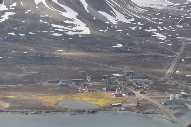
Glaciers retreat; soils emerge – summer fieldwork at 79°N
14/09/2021
Studying the evolution of newly emerging soils uncovered by retreating glaciers on the Svalbard archipelago in the Arctic Ocean.

Underground energy storage: supporting the transition to net zero carbon emissions
25/08/2021
Underground storage for renewable energy resources could be a viable green solution as we transition to a net zero UK.
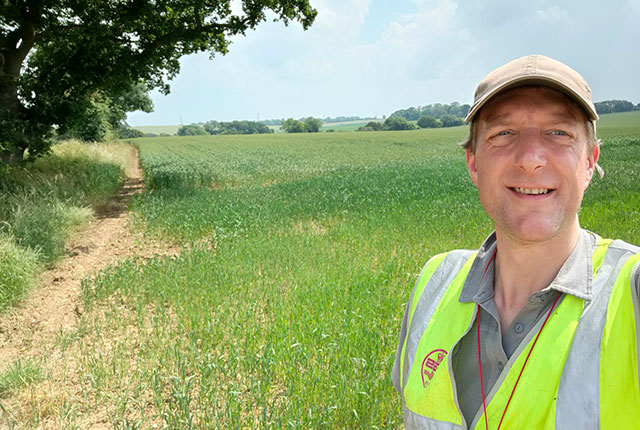
Back out in the field with Tromino
18/08/2021
Steve Thorpe discusses returning to fieldwork after the COVID-19 pandemic and trying out the Tromino kit.
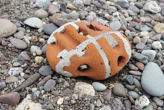
The Pebble Spotter’s Guide: how to collect pebbles
27/07/2021
BGS's Clive Mitchell on spotting, collecting and identifying the pebbles you can find on Britain's beaches.