Latest

New NERC-funded project empowers young people to engage with environmental science
23/07/2026
BGS is part of a new, collaborative project, funded through NERC’s ‘Opening up the environment’ programme, helping the environmental research community become more accessible.

Delving deep into mountains for future water security
16/07/2026
A BGS-led project is using new water-tracing investigation methods, geophysics and modelling to understand how water moves from mountains to the lowlands, helping to improve water security for billions of people.


Building Europe’s geological future
20/07/2026
BGS scientists are contributing to a continent-wide initiative that is strengthening collaboration across borders to tackle shared subsurface challenges and unlock new opportunities.
Explore more news
Browse all news and events by category

Scientists uncover secrets of Stonehenge’s mysterious cattle
20/08/2025
Cutting-edge analysis of a Neolithic cow tooth dating back to the construction of the famous landmark provides evidence of Welsh origins.

New study reveals geological facility’s value to UK economy
19/08/2025
For the first time, an economic valuation report has brought into focus the scale of the National Geological Repository’s impact on major infrastructure projects.
Is your region susceptible? Britain’s geohazard hotspots revealed
14/08/2025
From sinkholes to radon: new maps highlight the most geologically at-risk regions
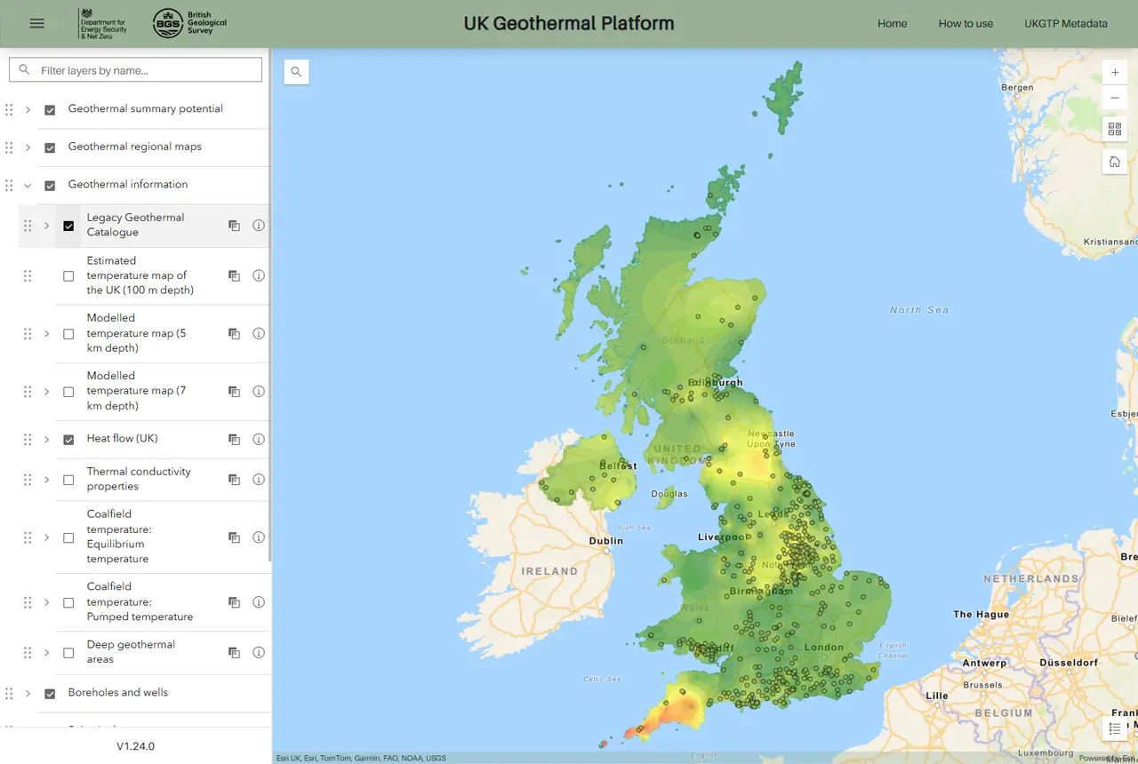
New platform highlights geothermal potential across the UK
11/08/2025
A new government-funded geothermal initiative, which includes an interactive map, has launched to help decision makers assess the geothermal potential across the UK.

Oasis revealed as Scottish capital’s ‘most seismic’ concert
07/08/2025
Twenty years of evidence from earthquake monitoring proves the Britpop legends are the most ‘ground shaking’ musical act to perform at Murrayfield Stadium, with the chance to secure their position at the top of the charts this weekend.

IODP³-NSF Expedition 501: successful offshore operations launches onshore phase
06/08/2025
Scientists have managed to take water and sediment samples from beneath the ocean on the New England Shelf for the first time, with the intention of understanding this offshore aquifer system.
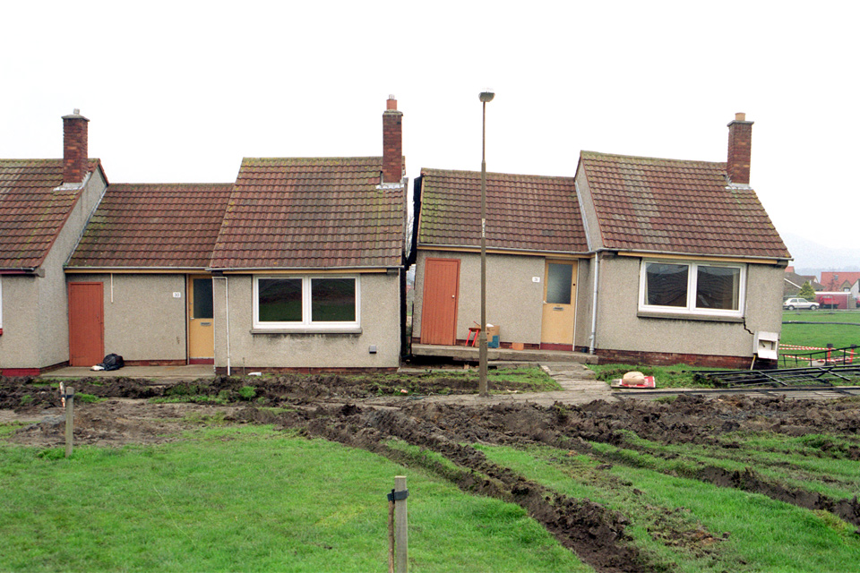
New tool helps identify coal mine gas risk for housing developments in Scotland
05/08/2025
Scientists have co-developed a new tool for North Lanarkshire Council to help screen coal mine gas emissions prior to the development of new houses and buildings.
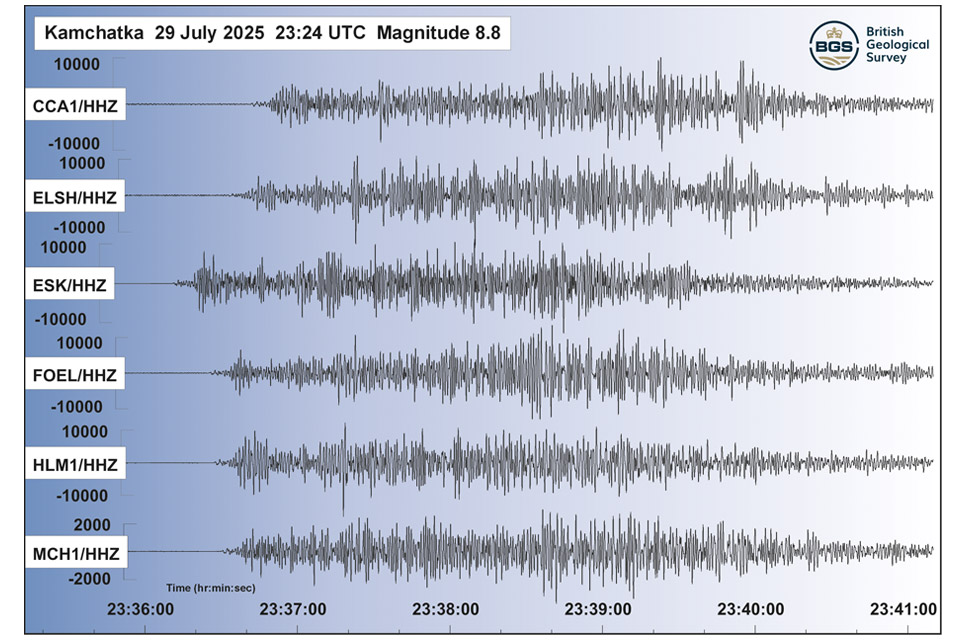
Kamchatka earthquake highlights the advances in tsunami early warning systems
31/07/2025
The response to the 8.8 magnitude earthquake in Russia has emphasised how far scientific understanding of tsunamis has come over the last two decades, and the improved mitigation measures that are now in place.