BGS to lead new research project on barrier systems to support more sustainable coastal management
Scientists at BGS will lead a new four-year project that will enhance our understanding of gravel barrier systems across the coastlines of the UK.
06/12/2023 By BGS Press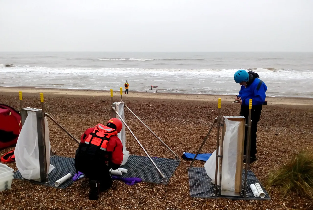

Gravel-dominated beach and barrier systems are common around the UK and provide important coastal defences, especially in low-lying regions. A new, four-year research project, funded by the Natural Environment Research Council (NERC) and entitled ‘Gravel barrier coasts’ (GBCoasts), will deliver enhanced understanding and modelling of gravel barrier systems. The project aims to support more sustainable coastal management by increasing resilience and reducing the vulnerability of coasts to climate change.
BGS will use a new community modelling system, ‘Coastal modelling environment (CoastalME)’, alongside terrestrial, marine and groundwater models, to characterise how a combination of processes along gravel barrier coasts control coastal flooding and erosion.
CoastalME will produce numerical simulations to support multi-hazard analyses under present and future climate change scenarios. These will project, over a range of timescales:
- how multi-hazards will respond to predicted climate change processes and impacts
- how humans are affecting future hazards
- how we will be affected under different coastal management scenarios; for example, how do gravel barriers respond to individual events, such as storms, in the context of longer-term, ‘progressive’ trends, such as sea-level rise?
The results will support improved coastal management decision making based on the improved understanding of how gravel barriers evolve over longer time scales under different climate condition and human intervention scenarios.
The findings will be combined with an assessment of the role of coastal habitats, resulting in national maps of vulnerabilities of coastal habitats to climate-driven multi-hazards for protective services. BGS will also provide tools to analyse the efficacy of future coastal management schemes.

The GBCoasts project will enable us to better address the transformational challenges that many communities along the UK’s coastlines are facing today and in the near future, regarding ever-increasing risks of coastal flooding and coastal erosion.
Andres Payo Garcia, BGS Coastal Geomorphologist.
In order to achieve the objectives of GBCoasts, there will be a collaboration between the different sectors of UK academics, engineering consultants and research institutions.
The Natural Environment Research Council (NERC) is the driving force of investment in environmental science in the UK. It advances the frontier of environmental science by commissioning new research, infrastructure and training that delivers valuable scientific breakthroughs.
NERC invests public money in world-leading science, designed to help us sustain and benefit from our natural resources, predict and respond to natural hazards and understand environmental change.
Relative topics
Related news
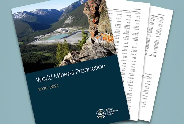
Latest data on world mineral production now available
25/05/2026
BGS has released the updated statistics on the global production of over 70 commodities between 2020 and 2024.

International science consortium to survey the health, economic value and social importance of Lake Victoria
22/05/2026
The project will replicate the 1927 survey to assess changes in the lake’s health, economic value and social importance.

New geological maps of Berwick-upon-Tweed to help future-proof natural water supply
20/05/2026
Scientists have mapped the geology under the town to better understand the groundwater system to inform decisions around abstraction.

BGS contributes to UN sand and sustainability report
19/05/2026
The new report highlights the impact of poor governance and unsustainable sand mining practices, calling on policymakers to take action.
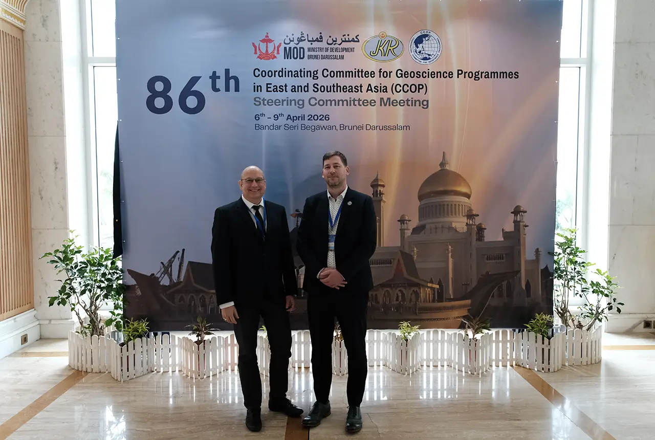
BGS engineering geologist elected to CCOP
29/04/2026
Marcus Dobbs has been elected as vice-chair of the advisory group for the Coordinating Committee for Geoscience Programmes in East and Southeast Asia.
UK Minerals Yearbook 2025 now available
21/04/2026
The annual publication provides essential information about the production, consumption and trade of UK minerals up to 2025.

UK scientists unite for seabed mapping survey of the UK’s south-west coastline
15/04/2026
BGS geologists join research voyage, gathering crucial geological data to support offshore energy and infrastructure projects.

Isotopes and science: my student placement at BGS
08/04/2026
Industrial placements at BGS for undergraduate students give real-life experience of working in laboratories and learning different analytical techniques.

Updated geological assessment of the Southern North Sea set to underpin future offshore infrastructure development
25/03/2026
The first regional assessment for 30 years will support offshore marine and subsurface planning for the UK’s low-carbon energy infrastructure, including the 2030 target of 45 to 50 GW generated through offshore wind.

New research could help provide a more reliable water supply for millions in rural Africa
24/03/2026
A new BGS-led study has revealed crucial insights into the longstanding challenges affecting the reliability and performance of rural water supply infrastructure in sub-Saharan Africa.

Call for new members and Chair to join the NERC facilities steering committees
25/02/2026
New members are needed to join the committees over the next four years.

Your views wanted: developing a geothermal energy subsurface data portfolio
24/02/2026
BGS is aiming to support the growth of the sector by providing the best-available, location-specific geothermal and ground source heat information as an accessible product or service.