We used robust security cameras to automatically take photos of Virkisjökull and the nearby river three times a day, every day, for the lifetime of the glacier observatory.
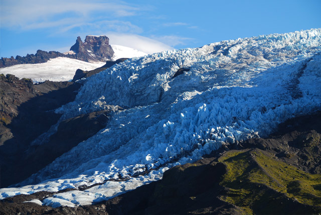
Virkisjökull, Iceland

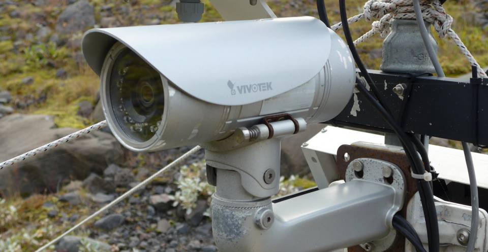
A Vivotek 2Mp security camera installed at Automated Weather Station 1 (AWS1) has taken three images of the glacier every day since April 2011. Jez Everest, BGS ©UKRI. All rights reserved.

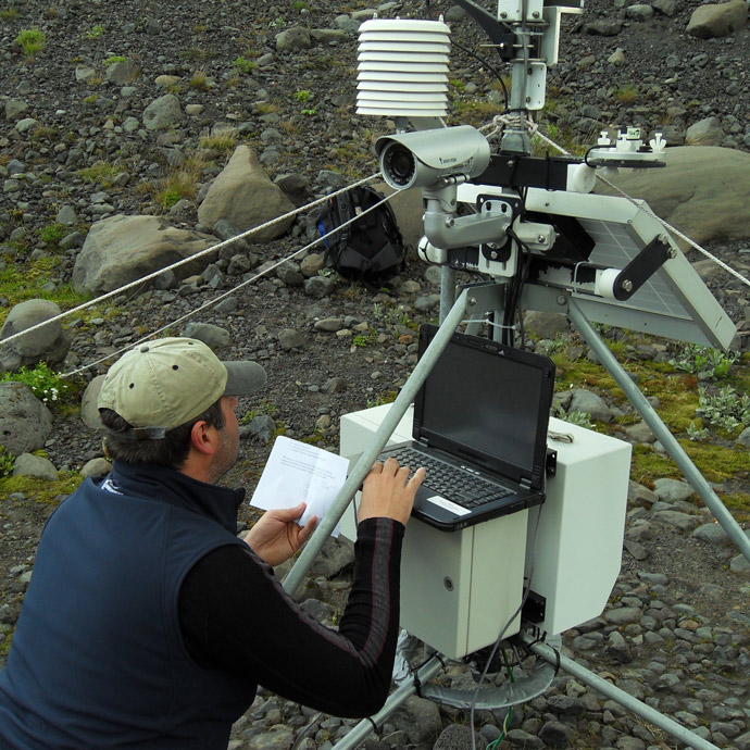
Jez Everest updates the software on the Campbell Scientific CR800 datalogger at AWS1. Tom Bradwell, BGS ©UKRI. All rights reserved.
Each of our three weather stations and the stream gauge installation had fixed cameras pointing at the glacier and Virkisá River. They took an image three times each day, at 09:00, 12:00 and 15:00. The images were sent back to the BGS in Edinburgh via a 3G mobile phone link. The images helped us check on our weather monitoring equipment, as well as creating a visual archive of the glacier over time.
The cameras were two megapixel security cameras, chosen for their robustness and ability to stand up to the worst environmental conditions. They performed admirably and were an excellent compromise between image quality and data storage availability.
Timelapse movie of the margin of the Falljökull portion of the Virkisjökull Glacier from 14 April 2011 and the 21 December 2019.
This timelapse movie of the margin of the Falljökull portion of Virkisjökull was filmed between 14 April 2011 and the 21 December 2019. The timelapse has been created using a single image from each day. There is a gap in data between September 2016 and May 2017 when we suffered equipment failure due to severe weather and some shorter gaps later in the video again because of equipment down time. The tipping bucket rain gauge, connected to the weather station, and snow depth measure can be seen at the bottom right of the screen.
The ash from the Grimsvötn eruption of 21 May 2011 onwards can clearly be seen from 24 seconds into the film as can the huge variation in surface meltwater discharge across the area of buried ice in front of the ice margin.
From about 28 seconds there is extensive collapse of the margin of the glacier, as an englacial channel falls in and extensional crevassing is propagated up-ice from the front.
Throughout the video, surface lowering of both the clean ice (white) and debris-covered ice (reddish-brown areas) is very obvious, as is the retreat of the clean ice margin and the collapse of the debris-covered areas of the margin into the expanding proglacial lake.
Timelapse movie of glacier flow over the icefall between 11 April 2011 and 22 April 2012.
This movie shows a timelapse of glacier flow over the icefall between 11 April 2011 and 22 April 2012. A single image from 12 noon each day has been used.
Again, the ash from the Grimsvötn eruption can be seen at around 14 seconds onwards. Grimsvötn itself sits within the western portion of Vatnajökull, only 50 km north-west of the Virkisjökull Observatory.
The tremendous power of glaciers as agents of landscape change can be understood when one sees the speed at which ice is able to flow. Their ability to shape and carve modern mountain chains can be seen all over the world and their legacy spreads far wider, into both upland and lowland landscapes that are now totally devoid of permanent ice.
Images
Each of our weather stations captured three images a day using robust, colour, two megapixel security cameras. These images can be requested on an individual basis or covering a specified time period for research or teaching purposes.
Contact
If you want to discover more then please contact Jeremy Everest.
You may also be interested in

Glacier monitoring
The BGS uses cutting-edge technology in Iceland to monitor how glaciers and their surrounding landscape change over time, and how they respond to climate.


