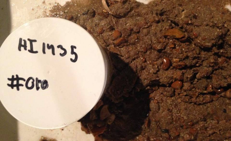
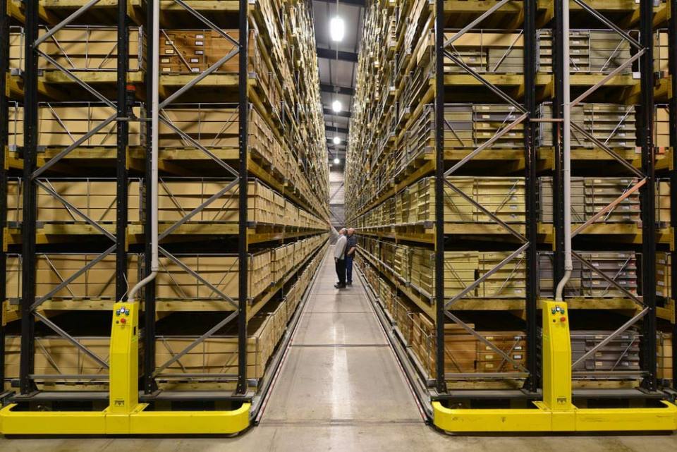
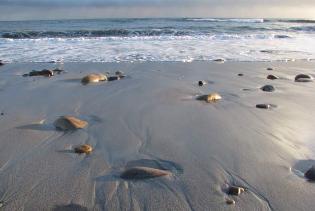
The National Geological Repository stores material from samples that are routinely collected from the seabed during the Maritime and Coastguard Agency‘s (MCA) Hydrographic Instruction (HI) Civil Hydrography Programme (CHP) surveys. Seabed sampling is conducted on an approximately 5 km grid with at least one sample being taken in each major textural area identified. All samples are retained and forwarded to the BGS.

Information on the samples is logged in H575 sample forms using the Nautical Classification and Folk Classification schemes. This information goes into the production of nautical charts at the United Kingdom Hydrographic Office (UKHO). The H575 forms are also sent to the BGS and archived in the National Geoscience Data Centre (NGDC) and MEDIN Data Archive Centre.
Sample and data access
The sample material and data are a resource that is openly available for further analysis.
- Contact the contact the Core Store at BGS Keyworth to arrange a visit to view or sample the material
- Locations and sample data will be available from the offshore GeoIndex in the future: in the meantime, to access the data, you can send an email with the required HI survey numbers or area(s) of interest
- The associated multibeam backscatter data are available from the offshore GeoIndex
- Multibeam bathymetry data is available from the ADMIRALTY Marine Data Portal
Deposit samples
We also have guidance for depositing MCA CHP samples.
Contact
Contact the Core Store (kwcorestore@bgs.ac.uk) or access NGR collections to arrange a visit to view or sample the material.
Please deposit data from any analyses carried out on the samples with the NGDC.
Need more information?
You may also be interested in

National Geological Repository
Hosting BGS’s collections of borehole cores, cuttings, samples, specimens, and related subsurface information from the UK landmass and continental shelf.

National Geoscience Data Centre
Collecting and preserving geoscientific data, making it available to a wide range of users and communities.

MEDIN Data Archive Centre
The BGS is the accredited Marine Environment Data and Information Network data archive centre for geology, geophysics and backscatter data.


