

Datasets

These are our most popular and influential datasets. For a comprehensive list of all BGS data, please visit the BGS Metadata Catalogue
 Data Preview
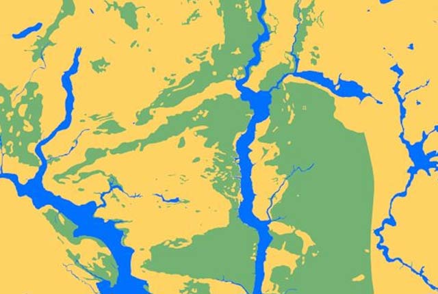
The BGS corrosivity dataset is a GIS layer supporting the management of underground iron assets that has been created in response to the growing awareness of the cost of maintenance of structures such as pipelines and building foundations.
- Premium
- 1:50 000
- Great Britain
Data Preview
 Data Preview
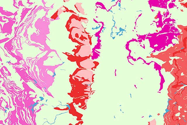
The BGS Civils: sulfates and sulfides dataset is a GIS layer that supports the management of underground assets
- Premium
- 1:50 000
- Great Britain
Data Preview
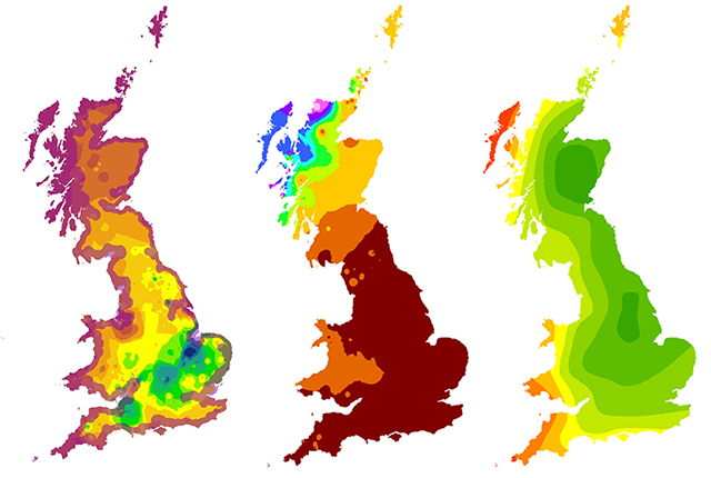
The Biosphere Isotope Domains GB (Version 2) data comprises analysis and location-specific information for strontium, sulphur, lead and oxygen (from drinking water and tooth enamel) isotope variation for Great Britain.
- Open
- The dataset is represented by 1 km hexagon cells
- Great Britain
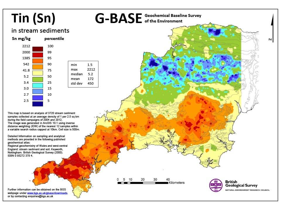
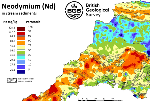
G-BASE is a major BGS project that surveyed the surface geochemistry of the entire UK. Soil and stream-sediment geochemistry data is available for south-west England as a standalone dataset.
- Open
- SW England
 Data Preview
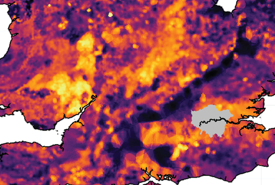
London Earth is the systematic, high-density, geochemical soil dataset of the Greater London Area (GLA) aiming to give insight into the environmental impacts of urbanisation and industrialisation on the UK’s most populous city.
- Premium
- Greater London and surrounding area
Data Preview
 Data Preview
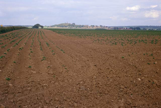
This dataset contains estimated ambient background concentrations of potentially harmful elements for rural and selected urban topsoils.
- Premium
- 1:50 000 (or as defined below)
- Great Britain
Data Preview
Frequenty asked questions for the BGS Soil Chemistry for environmental assessments dataset.
- Open / Premium
- Partial Great Britain coverage: south-west England
 Data Preview
The UK stream sediment geochemistry maps present data compiled from the G-BASE and TellusNI geochemical projects.
- Open / Premium
- Great Britain and Northern Ireland
Data Preview
 Data Preview
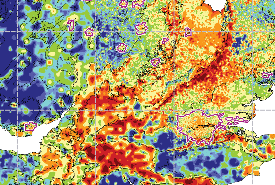
The UK Compiled Topsoil Dataset (UKTS), is the most extensive topsoil geochemistry dataset for the UK.
- Open / Premium
- Partial UK Coverage
Data Preview