Key information
Scale:
1:50 000Coverage:
Great BritainAvailability:
LicensedFormat:
GIS grid data. (ESRI, MapInfo, others available by request)Price:
£0.17 per km2. Subject to number of users, licence fee and data preparation fee.
Uses:
Local- to regional-level useGet data
Free access
Our free data is available under the Open Government Licence. Please acknowledge reproduced BGS materials.
Download sample dataPaid access
Supporting documents
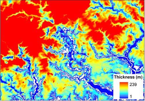
Superficial deposits are the youngest geological formations (less than 2.6 million years old). They are largely unconsolidated and cover much of the bedrock of Britain. They generally include sediments deposited during the Pleistocene (Quaternary) glacial episodes and subsequent Holocene rivers and coastal systems; superficial deposits also include modern, artificial deposits such as mining spoil and road embankments.
The superficial thickness model shows the depth of the bedrock surface and this information is critical in a number of areas of work. For example, in civil engineering, it is used in the evaluation of groundwater resources and possible water pollution and in the prediction of surface hazards such as landslides and the collapse of underlying rocks.
We created the model using digital mathematical interpolation techniques, analysing information from approximately 600 000 borehole logs held in out archives; it also uses the extent of superficial deposits from the 1:50 000-scale digital geological map of Britain: BGS Geology 50K.

Superficial thickness model sample. BGS © UKRI.

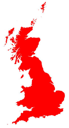
Superficial thickness model coverage. BGS © UKRI – Contains OS data © Crown copyright 2020.
Download BGS Superficial Deposits sample data
You may also be interested in

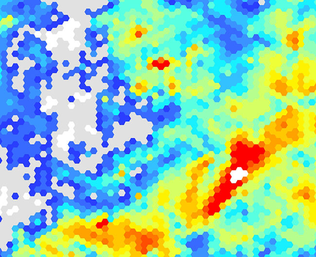
Superficial thickness 1 km hex grid
The BGS superficial thickness hex grid map shows the variation of the thickness of superficial deposits across Great Britain.


