Key information
Scale:
1:250 000Coverage:
UK and adjacent European watersAvailability:
Free / LicensedFormat:
GIS polygon data (ESRI, MapInfo, others available by request)Price:
Free: Available to view as a WMS layer or via the offshore GeoIndex.
Licence: £0.003 per km2. Subject to number of users, licence fee and data preparation fee.
Uses:
Regional-level useGet data
Free access
Our free data is available under the Open Government Licence. Please acknowledge reproduced BGS materials.
Sample Download View online (Offshore Geoindex)Web service (OGC WMS)Paid access
Supporting documents
The 1:250 000-scale offshore geological maps are available digitally as two themes: offshore bedrock geology and seabed sediments.


Coverage of the BGS seabed sediments 250K dataset and the limits of the exclusive economic zone. BGS © UKRI – Contains OS data © Crown copyright 2020.
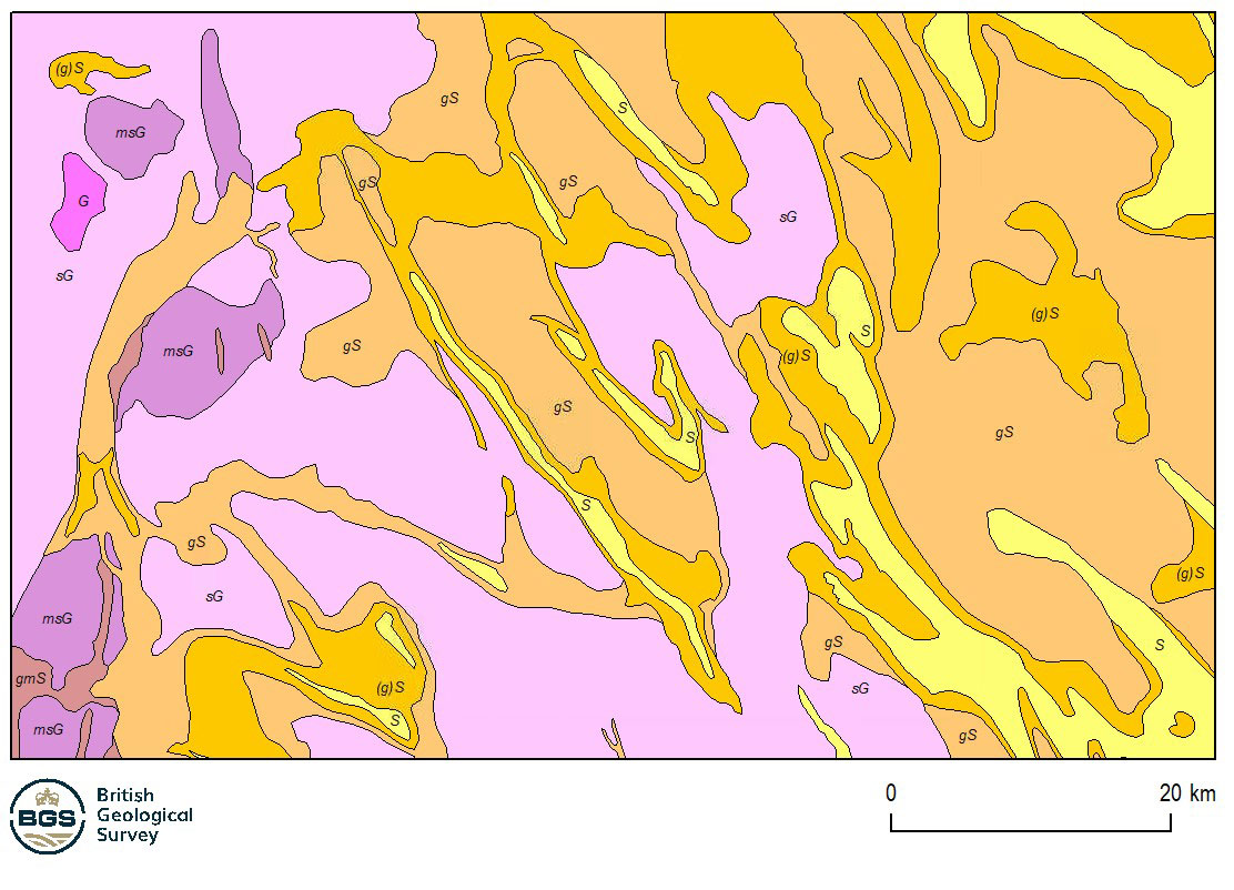
Example of the seabed sediments 250K dataset. BGS © UKRI
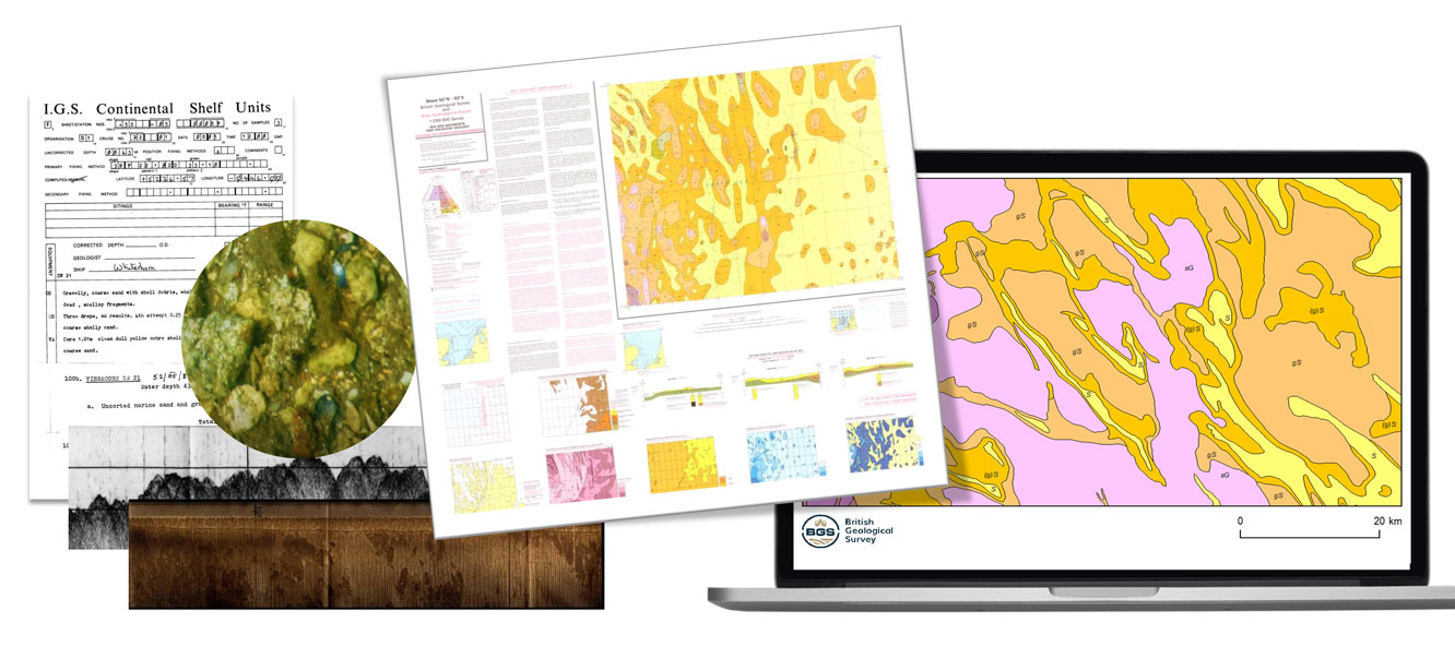
A visual summary of the development of the seabed sediments 250K dataset, from the data to the published paper maps and the released of seabed sediments 250K geospatial product. BGS © UKRI.
The overlying column of sea water imposes major limitations offshore that makes it impossible to use normal, onshore, geological mapping techniques. However, other techniques such as ship-board geophysical surveys can be used that allow geological interpretations using evidence not normally available onshore.
The seabed sediments theme is only mapped offshore, where it commonly forms a veneer on the seabed. The map is based on seabed grab samples of the top 0.1 m, combined with cores and dredge samples as available.
The sediments are classified according to Folk (1954), which divides sediments into 15 classes, according to the proportions of sand, gravel and mud present.
Download BGS sample data
You may also be interested in


Offshore bedrock 250K
The 1:250 000-scale offshore geological map for bedrock geology (BGS Geology: marine bedrock 250k) is available digitally.
Footnotes
1. Folk (1954)
FOLK, R.L. 1954. The distinction between grain size and mineral composition in sedimentary rock nomenclature. Journal of Geology 62 (4), 344-359