Key information
Scale:
N/ACoverage:
The Hutton Field, East Shetlands BasinAvailability:
FreeFormat:
Multiple types including: TIFF, PDF, ASCCI, LAS, LIS, DLIS and SEGYGet data
Free access
Our free data is available under the Open Government Licence. Please acknowledge reproduced BGS materials.
Contact the digital data team for your copyThis ‘oilfield in a box’ dataset contains all of the raw data available from the Hutton hydrocarbon field in the northern North Sea (quadrant 211).
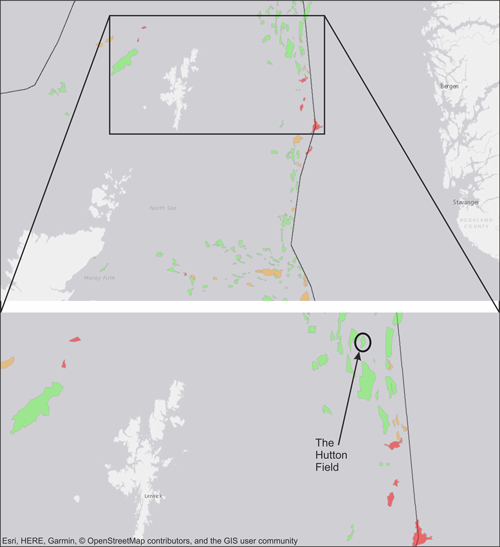

Location map of the Hutton Field. Contains public sector information licensed under the Open Government Licence v3.0. BGS © UKRI – Contains OS data © Crown copyright 2020.
The data was deposited with BGS by the then operator Kerr McGee through the National Hydrocarbon Data Archive. This dataset represents a comprehensive record of the type of information collected over the lifetime of a hydrocarbon field.
The dataset is comprised of:
- borehole data, including wireline logs and reports
- a 3D seismic survey
- stratigraphic and production data
This data is available under Open Government License and is free to use for commercial and non-commercial purposes, providing the source of the material is acknowledged. More information can be found in Oilfield in a box : the Hutton Field Dataset.
