

New research highlights significant earthquake potential in Indonesia’s capital city
Research reveals that a fault cutting through the subsurface of Jakarta could generate a damaging earthquake of high magnitude.
04/11/2025 By BGS Press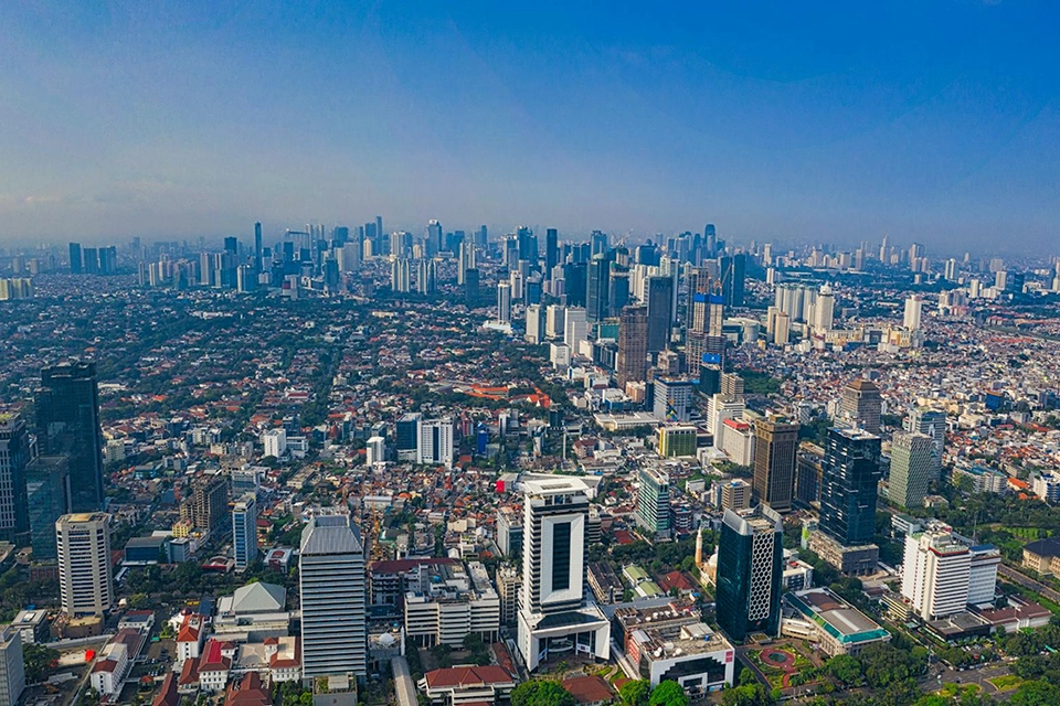

The Jakarta Fault runs beneath the southern part of the capital city of Indonesia, Jakarta. Jakarta is one of the largest cities in the world, with a population exceeding 30 million in the metropolitan area. New research by BGS and Indonesian colleagues shows that this fault could generate a magnitude 6.5 earthquake, which would expose a large number of people as well as significantly important economic infrastructure to strong ground shaking.
Between 2019 and 2023, Indonesian scientists from the Institut Teknologi Bandung (ITB), National Research and Innovation Agency (BRIN) and the Geospatial Information Agency (BIG) collected ground movement data across the Jakarta Fault from a dense network of global navigation satellite systems (GNSS). These measurements revealed slow, millimetre-scale changes in ground movement occurring across the fault, which indicated energy accumulating that will need to be released, potentially in a future earthquake.
Geophysical modelling shows that ground movement is accruing on the fault at 3.2 mm per year, with the fault locked or ‘stuck’ down to at least 7.2 km. This accumulation has been happening for at least 210 years, which means that releasing it all now would result in a magnitude 6.5 earthquake.

While magnitude 6.5 earthquakes are not uncommon in Indonesia, they mostly occur under the ocean. The danger here is that the earthquake could occur in the middle of a densely built-up area like Jakarta, which means a much higher level of risk to life and infrastructure.
Dr Ekbal Hussain, remote sensing geoscientist at BGS and research co-leader.
The Jakarta Fault is a relatively newly recognised major tectonic fault on the Indonesian island of Java. It is a part of a broader fault system that cuts across most of Java, which, with a population of 157 million people, is the most densely populated island on Earth. Geophysical surveys conducted by BGS in the 1970s and 1980s, in collaboration with the Indonesian Geological Research and Development Center, helped identify this major tectonic structure for the first time, but its earthquake potential has remained unclear until now.
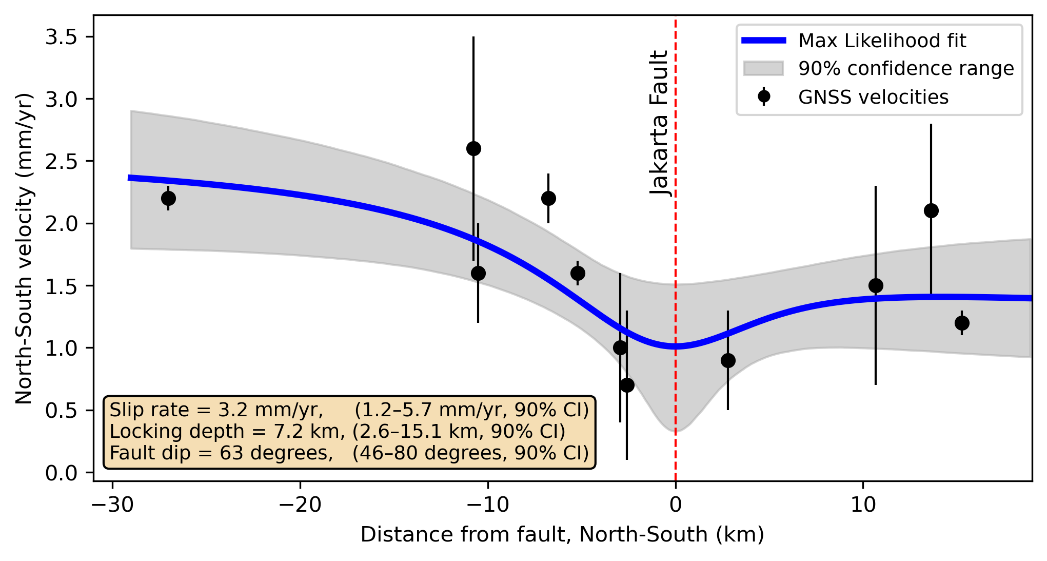
The ground movements across the Jakarta Fault were modelled to estimate the energy storage rate (slip rate) on the fault. Source: Gunawan et al., 2025.
This research forms part of strategic UK/Indonesia research partnerships on geological hazard solutions, as outlined in a recently published White Paper, UK/Indonesia partnerships for advancing geohazard science for disaster risk assessment in Indonesia. The paper, co-developed by key Indonesian and UK hazard experts, presents a strategic roadmap to significantly reducing the impacts of geological hazards in the country. Importantly, it highlights the strength of UK and Indonesian science partnerships for delivering the best disaster resilience science.
More information
Access the full paper: GNSS constraints on the Jakarta Fault, Indonesia: resolving slip rate and seismic hazard potential
Funding
This is work is funded by the UKRI National Capability Geoscience to tackle global environmental challenges programme. The BGS and Indonesian researchers involved in this study are continuing their engagement with local government to address the hazard challenges raised in this work.
Related news
The Lyell Centre celebrates 10 years of world-leading earth and marine science research
07/09/2026
The Lyell Centre for Earth and Marine Sciences, a strategic partnership between Heriot-Watt University and BGS, is celebrating its 10th anniversary, marking a decade of world-leading research, innovation and collaboration in earth and marine sciences.

Demand for data centres presents challenges and opportunities for UK critical mineral supply chains
02/09/2026
Government-backed research finds that vulnerabilities in raw material supply chains must be addressed to secure the critical minerals needed to expand the UK’s digital infrastructure and boost economic growth.

What lies beneath Europe’s sinking ground?
01/09/2026
Land subsidence is becoming increasingly visible across Europe. New research examines how better monitoring, shared data and a deeper understanding of the subsurface can help assess and manage its impacts.

Secrets of an ancient supervolcano uncovered that change our understanding of England’s geological past
28/08/2026
Scientists have found evidence of a long-hidden link between an ancient buried ash layer in Scandinavia and a concealed supervolcano in eastern England.

BGS research into drought-exposed soils wins award
26/08/2026
A research paper investigating how temperate soils respond to drought has been announced as the winner of the Land Best Paper Award.
UK aquifers robust despite driest July on record
16/08/2026
In a summer experiencing widespread drought, groundwater levels around the country are showing resilience, demonstrating their value as a crucial resource and indicating they could play a more significant role in mitigating the impacts of extreme weather.

New NERC-funded project empowers young people to engage with environmental science
23/07/2026
BGS is part of a new, collaborative project, funded through NERC’s ‘Opening up the environment’ programme, helping the environmental research community become more accessible.
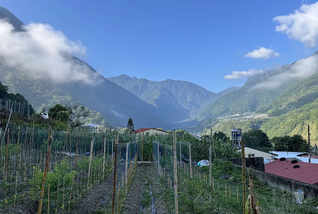
Delving deep into mountains for future water security
16/07/2026
A BGS-led project is using new water-tracing investigation methods, geophysics and modelling to understand how water moves from mountains to the lowlands, helping to improve water security for billions of people.
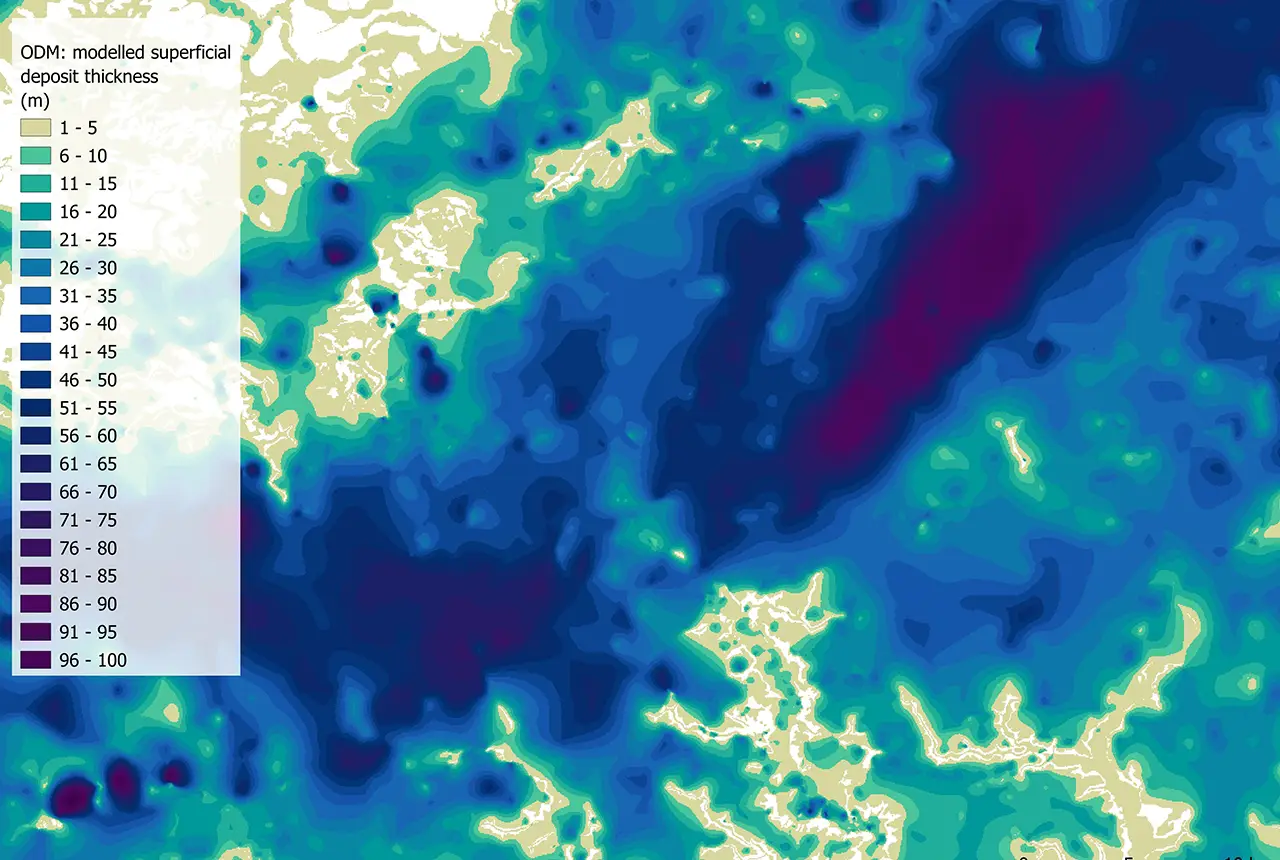
Updated national 3D model will determine the depth to the solid bedrock beneath our feet
13/07/2026
The BGS Superficial Deposit Thickness Model now includes an elevation model of geological rockhead for the first time, providing important data for civil engineers, geoscientists and environmental scientists.
UK’s world-class research organisations launch new collective
10/07/2026
The launch of the National Research Organisations Group brings together more than 100 science leaders to provide an authorativive voice on science, research policy and long-term investment.
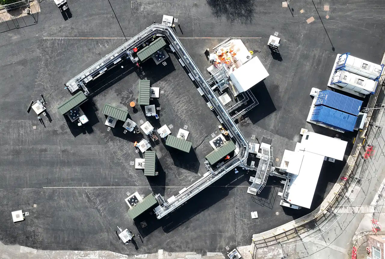
Cheshire Geoenergy Observatory releases key geological datasets for UK thermal energy storage scheme design
09/07/2026
A new report and data packs from BGS will provide a unique resource for scientists working on the geology and hydrogeology of the Sherwood Sandstone Formation, an important aquifer and reservoir rock.

New geological mapping underway to help manage flooding along the River Tweed
08/07/2026
Scientists are surveying the Tweed catchment for the first time in over 100 years to enhance understanding of localised groundwater and improve flood forecasting.