Geohazards including landslides, groundwater flooding or the development of sinkholes, can have a range of consequences and implications. In an emergency, these events require the attention of a range of services to deal with them effectively and mitigate the development of further issues.
The BGS provides a range of scientific data products for a variety of users, from identifying potential geohazards (GeoSure) to assessing the potential of a construction site in terms of its engineering characteristics (BGS Civils). These products have all been designed for specific use cases and applications and until now, a bespoke product that has been tailored for emergency response usage in the occurrence of geohazard events has not been available.
This is where Project REScUe — repurposing for emergency service usage — steps in. Following engagement with the Category 1 and 2 emergency responder community as well as other service providers, we have redesigned a selection of our hazard data products, to ensure that the information contained can be effectively communicated to the emergency response and planning community. The output datasets that have been developed are designed to enable clear and effective delivery of hazard specific information which can be effectively and efficiently incorporated into Local Resilience Forum (LRF) planning strategies, with a focus on the potential consequences that might be expected should a given geohazard occur.
The main output of the REScUe project has been the Emergency Response Considerations for Geohazards (ERCG) product. This is available to the UK’s emergency response and planning communities through the Civil Contingencies Secretariat’s ResilienceDirect portal, providing mapped hazard related information associated with landslides, groundwater flooding and soluble rocks (linked with sinkholes). The product is also freely available for emergency planning use. Please email BGS Enquiries (enquiries@bgs.ac.uk) for more information.
We have designed some free geohazard quick reference information sheets. You can also find more detailed hazard information using our geohazard notes.
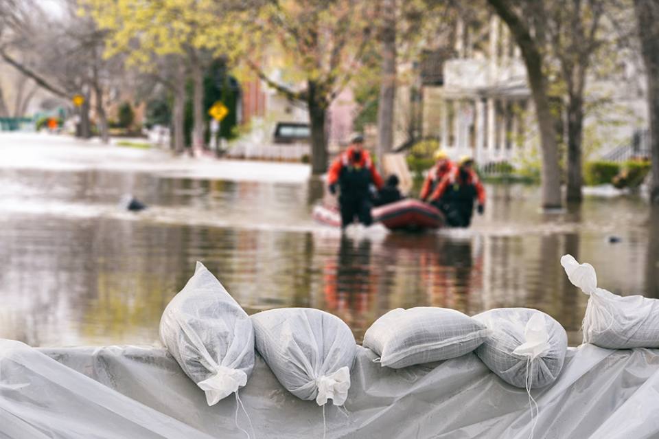

Flood protection sandbags with flooded homes in the background. © Marc Bruxelle.
Emergency planning in the UK
As part of the Civil Contingencies Act of 2004, which established a framework for local to national emergency planning and response, a number of national LRFs were set up as a requirement. These LRFs bring together Category 1 and 2 responders in different areas and enable different service providers to collaborate, share data and collectively plan for a range of emergency scenarios.
Mapping for Emergencies (MfE) has also been developed to assist with this, allowing various organisations, including the Ordnance Survey and the BGS, to share their data to assist in times of need.
Contact
If you want to discover more then please contact BGS Digital Data.

Hazard and resilience modelling
Developing new and innovative data products that deliver geoscientific information to a range of users in an accessible form.