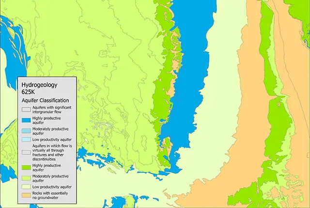

Hydrogeological map of the UK. BGS © UKRI – Contains OS data © Crown copyright 2020.
Hydrogeological map of the UK 625k
- 1:625 000
- UK
- Open
- Web service (OGC WMS) – Hydrology theme
Hydrogeological map at 1:625k -scale which can be used as a guide to aquifer characteristics at a regional or national level.
Key information
- Scale:
- 1:625 000
- Coverage:
- UK
- Availability:
- Open
- Price:
Free for commercial, research and public use under the Open Government Licence. Please acknowledge the material
- Format:
- GIS polygon data. (ESRI, others available by request)
- Uses:
- National-level use
- Themes:
- Environmental change, Hydrogeology
- Sector:
- Environmental protection, Groundwater
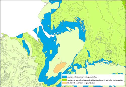
The 1:625k hydrogeological map indicates aquifer potential in generalised terms by categorising geological formations into one of seven categories:
- three categories in which intergranular flow in the saturated zone is dominant (high, moderate and low productivity)
- three categories in which flow is controlled by fractures and other discontinuities (high, moderate and low productivity) and
- rocks with essentially no groundwater
Highly productive aquifers are distinguished from those that are only of local importance or have no significant groundwater.
The 1:625k scale data may be used as a guide to the aquifers at a regional or national level, but should not be relied on for local information.
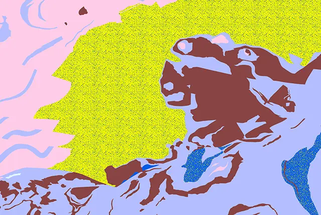
Sample of the 625K digital hydrogeological map. BGS © UKRI – Contains OS data © Crown copyright 2020.

Coverage of the 625K digital hydrogeological map. BGS © UKRI – Contains OS data © Crown copyright 2020.
You may also be interested in
Aquifer designation data
The aquifer designation dataset reflects the importance of aquifers in England and Wales as a resource and their role in supporting surface water flows and wetland ecosystems.
Groundwater vulnerability data
Our groundwater vulnerability maps provide an assessment of the vulnerability of groundwater in overlying superficial rocks and those that comprise the underlying bedrock.
Hydrogeological maps of Scotland
The BGS has produced a suite of hydrogeological maps of Scotland. The suite includes layers with groundwater vulnerability and aquifer productivity data.

Permeability
Permeability data is often used in studies of groundwater. Our permeability information is based on BGS Geology 50K data.