Relative topics
51 results for "maps and models"

Can sandstones under the North Sea unlock the UK’s carbon storage potential?
For the UK to reach its ambitious target of storing 170 million tonnes of carbon dioxide per year by 2050, it will need to look beyond the current well-studied geographical areas.

Quaternary UK offshore data digitised for the first time
The offshore wind industry will be boosted by the digitisation of a dataset showing the Quaternary geology at the seabed and the UK’s shallow subsurface.

New geological maps of the Yorkshire Wolds to better inform groundwater management and policy decisions
The new mapping provides crucial data on localised geological issues that may assist in protecting water supplies.

New 3D model to help mitigate groundwater flooding
BGS has released a 3D geological model of Gateshead to enhance understanding of groundwater and improve the response to flooding.

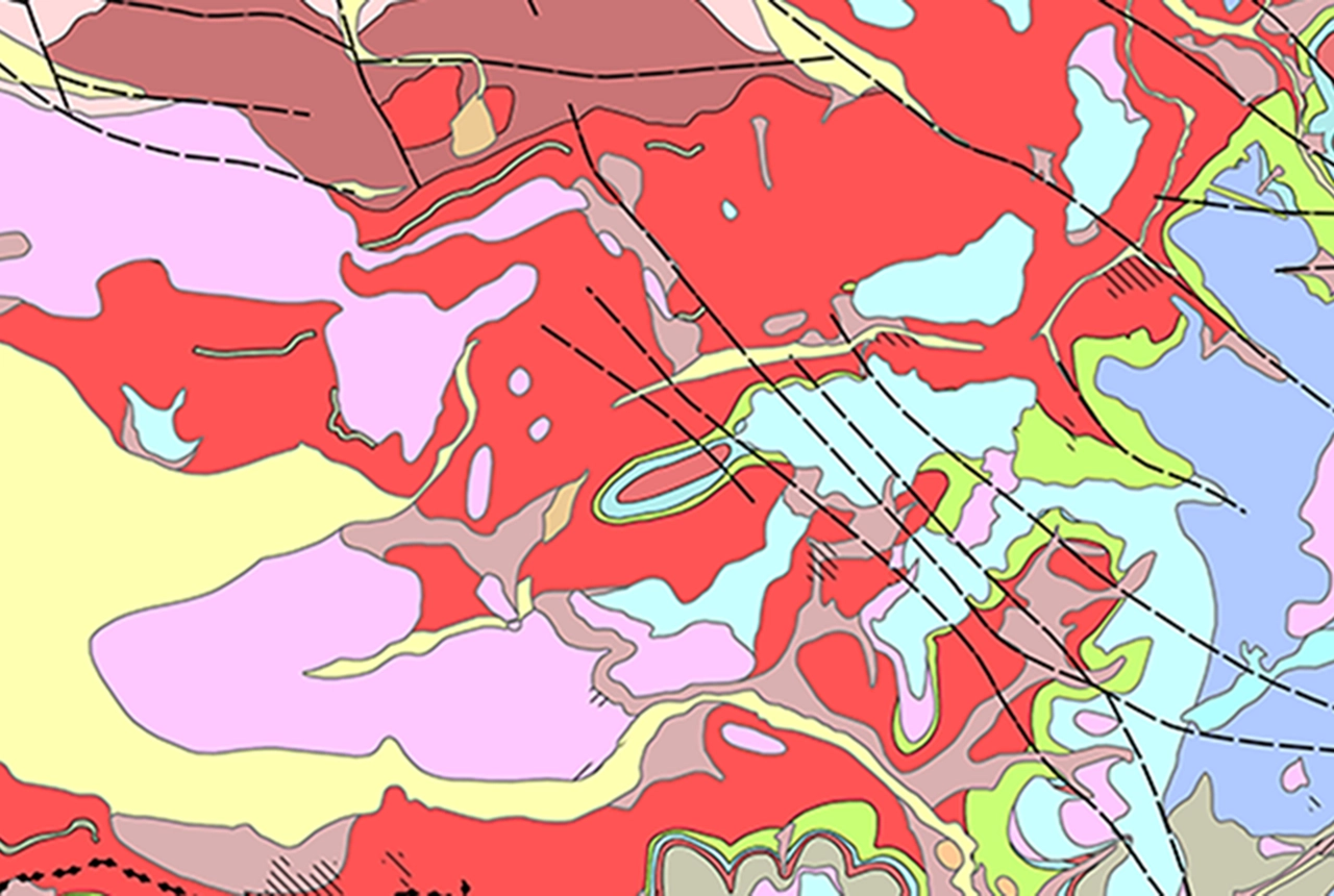
Latest BGS Geology 50K mapping data launched
Some of our most widely used maps have received a major update, including the 1:50 000-scale map series that now includes enhanced coverage of Great Britain.

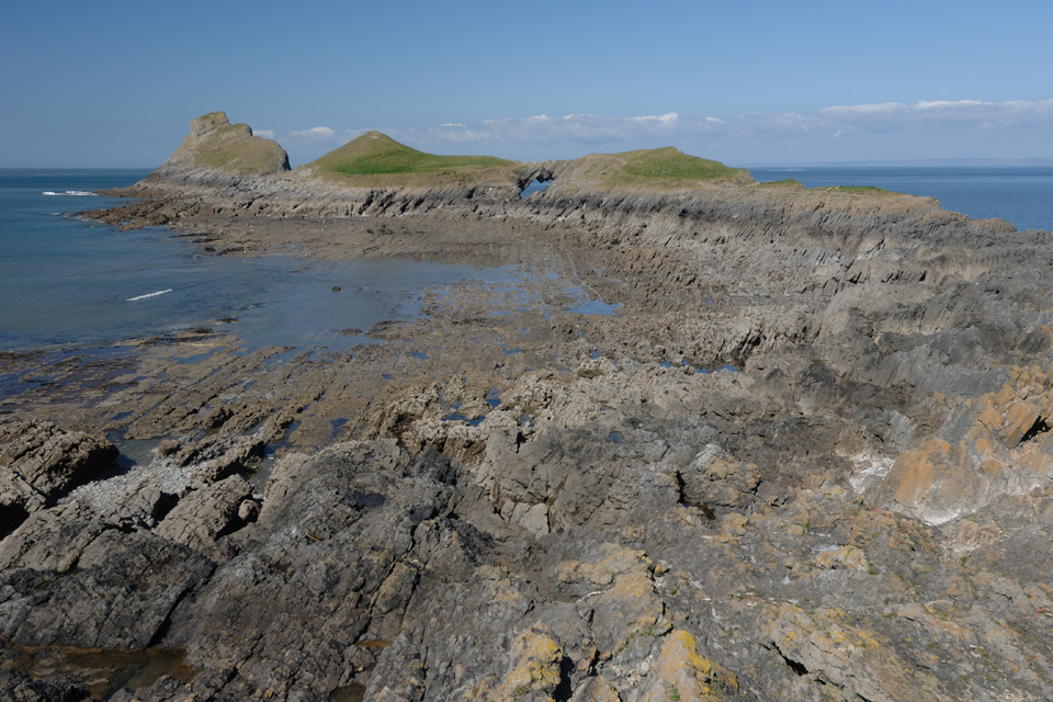
Extended seabed geology map of the Bristol Channel published
BGS has released significantly extended high-resolution maps that will support offshore green-energy initiatives in the area.

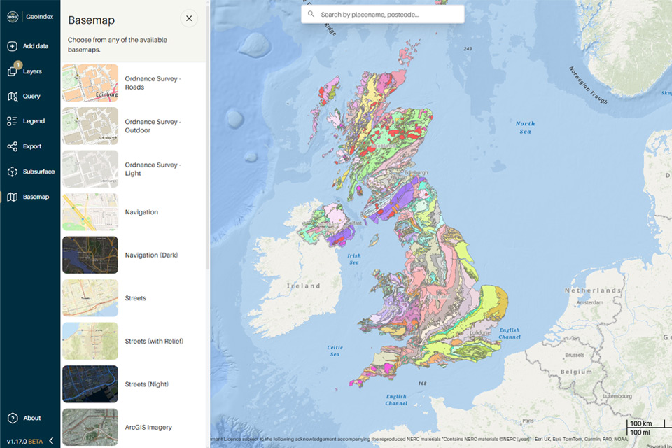
New BGS GeoIndex viewer released for user testing
The premium map-viewing application has been given a major upgrade and made available as a beta release.

New seabed sediment maps reveal what lies beneath the waves
Marine ecosystem science and offshore infrastructure will be boosted by a new dataset showing sediment composition across the UK continental shelf.

