Relative topics
19 results for "digital geoscience"
Update released for BGS open-source database software, ETL Helper
The software tool helps simplify the process of data transfer into and out of databases.
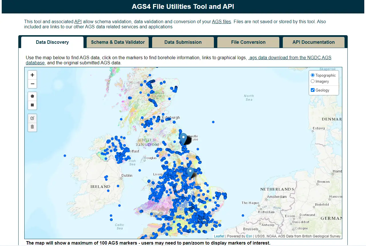
Update to BGS’s AGS file utilities tool released
BGS has released significant updates to its online tool for validating geotechnical data held as AGS files. The update includes improvements to the tool’s user interface and the ability to convert AGS data into MS Excel files.

New report on the National Land Data Programme published
The report, based on pilot projects across the UK, explains how spatial data and modelling can support better decisions on land use.

AGS file utilities tool: production release
BGS’s online tool for validating AGS files against the official AGS data format rules and its own NGDC data submission requirements goes live.
Accessing open source BGS software through GitHub
BGS is increasingly utilising GitHub to make its software available as open source and encourage collaboration with partners and the wider community.
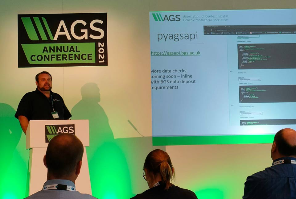
A new suite of AGS file utilities and public API
BGS has released an online AGS file utilities tool validator.
Back out in the field with Tromino
Steve Thorpe discusses returning to fieldwork after the COVID-19 pandemic and trying out the Tromino kit.