

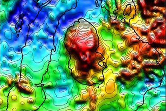
Great Britain aeromagnetic survey
- Mostly at 2 km flight line separation 400 m in South West England
- Onshore GB and adjacent seas
- Open
Regional aeromagnetic data for Great Britain acquired between 1955 and 1965.
Key information
- Scale:
- Mostly at 2 km flight line separation 400 m in South West England
- Coverage:
- Onshore GB and adjacent seas
- Availability:
- Open
- Price:
Free for commercial, research and public use under the Open Government Licence. Please acknowledge the material
- Format:
- ASCII text records
- Uses:
- Regional-level to national-level use
- Themes:
- Geophysics, Geoscience information
The regional aeromagnetic data for Great Britain was acquired by Hunting Geology and Geophysics Ltd and Canadian Aeroservices Ltd between 1955 and 1965.
Most of the surveys had a flight-line spacing of 2 km, with 10 km tie-lines. Flight lines for each survey were north to south or east to west, depending on the predominant geological strike, and most of the country was flown at 1000 ft (305 m) mean terrain clearance.
The data was recorded in analogue form and reduced to provide hand drawn maps, contoured at 10 nT intervals. We subsequently digitised flight-line/contour-line intercepts from these maps to produce the digital aeromagnetic data set for the UK, comprising over 540 000 points.
The data has been reprocessed to refer anomalies to a variant of IGRF-90, which makes allowance for the inaccurate prediction of the geomagnetic field model prior to 1971.
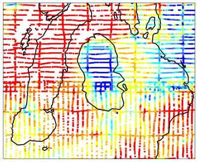

Great Britain aeromagnetic survey points sample. BGS © UKRI – Contains OS data © Crown copyright 2020.
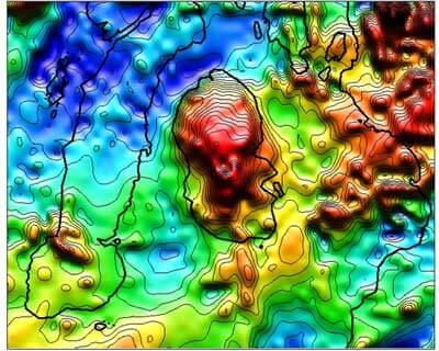
Great Britain aeromagnetic survey coloured shaded/contoured sample. BGS © UKRI – Contains OS data © Crown copyright 2020.
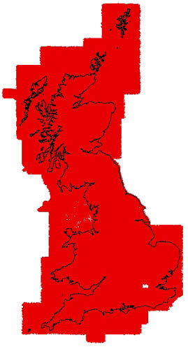
Great Britain Aeromagnetic Survey coverage. BGS © UKRI – Contains OS data © Crown copyright 2020.
You may also be interested in
Great Britain land gravity survey
The Great Britain land gravity survey dataset comprises over 165 000 gravity observations across onshore Great Britain.