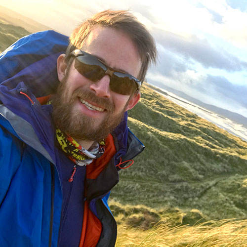
Samuel Roberson’s Biography
- 2013 – ongoing : Quaternary geologist: British Geological Survey
- 2009 – 2012 : Research Fellow, Technische Universiteit Delft, The Netherlands
- 2006 – 2010 : PhD, Glaciology, Aberystwyth University
- 2005 – 2006 : University of Wales, Aberystwyth – Glaciology
- 2002 – 2005 : BA Geography, University of Nottingham
Research interests
- Rock@Surface (2018 – present) – Mapping upland superficial deposit coverage using machine learning (innovation project) (NGM funded – Digital collaboration).
- Superficial deposit modelling (2022-2023) – Modelling superficial deposit coverage using machine learning (IFF funded project).
- Quaternary geological mapping (2013 – present) – Mapping of Quaternary geology of Northern Ireland at 1:10,000 scale (funded by Geological Survey of Northern Ireland).
- TopDown (2022 – present) – Collaboration with Sam Kelley (University College, Dublin) to determine post-Last Glacial Maximum thinning rates of Irish Ice Sheet in the Mourne Mountains, Northern Ireland (Geological Survey Ireland Short Call funded).
- Semi-automated Map Generalisation (2020 – present) – Collaboration between geologists, cartographers and data scientists to streamline generalisation of superficial data from 1:25,000 scale to 1:50,000 scale (NGM funded)
- Lough Neagh San and Gravel Resource Survey (2016) – Bathymetry and sedimentology survey of western part of Lough Neagh to produce resource estimate of sand and gravel reserves using structural and geostatistical modelling (Funded by the Lough Neagh Sand Traders Ltd).
Books
- Roberson, S, Barr, I, and Cooper, C. 2016. The Quaternary Glaciation of the Mourne Mountains: Field Guide. Quaternary Research Association, UK.
Key papers
- Roberson, S. 2022. Superficial Geology Coastal Mapping Pilot Study. British Geological Survey Commissioned Report, British Geological Survey, Nottingham, UK.
- Roberson, S. 2016. Sand and Gravel Resource Survey of NW Lough Neagh, British Geological Survey Commissioned Report, British Geological Survey, Nottingham, UK.
- Roberson, S, and Weltje, G J. 2014. Inter instrument comparison of particle-size analysers, Sedimentology.
- Merritt, J W, Roberson, S, and Cooper, M R. 2018. A critical review and re-investigation of the Pleistocene deposits between Cranfield Point and Kilkeel, Northern Ireland: Implications for regional sea-level models and glacial reconstructions of the northern Irish Sea basin. Proceedings of the Geologists’ Association, 129(5), pp.583-609.
- Weltje, G J, and Roberson S. 2012. Numerical methods for integrating particle-size frequency distributions. Computers & Geoscience, 44: 156-167.
- Krabbendam, M, Fioguardi, F, Arnhardt, C, and Roberson, S, Hall, A. 2023. Drag forces at the ice-sheet bed and resistance of hard-rock obstacles: the physics of glacial ripping. Journal of Glaciology, 69: 103-119.
- Stoker, BJ, Livingston, SJ, Barr, I, Ruffell, A, Storrar, RD, and Roberson S. 2021. Variations in esker morphology and internal architecture record time-transgressive deposition during ice margin retreat in Northern Ireland. Proceedings of the Geologists’ Association, 132: 409-425.
- Roberson, S, and Hubbard, B. 2010. Application of borehole optical televiewing to investigating the 3-D structure of glaciers: implications for the formation of longitudinal debris ridges, midre Lovénbreen, Svalbard, Journal of Glaciology, 56: 143-156.
Maps
- Roberson, S, and Hughes, L. 2019. Superficial Geology Map of Keady: Sheets 59/70, 1:50,000 scale. Geological Survey of Northern Ireland, Belfast.
- Roberson, S, and Pellicer, X. 2017. Quaternary Geological Map of Ireland, 1:500,000 scale. Geological Survey Ireland, Dublin.
Chapters
- Roberson, S. 2019. Francis Synge (1923-1983), In Giants of the Irish Quaternary, Dalton, C. and McGlynn, G. (Eds). Irish Quaternary Association, Dublin, p.116.
Google Scholar: Sam Roberson
- Field-based mapping and data collection
- Geophysics (Ground Penetrating Radar, Terrestrial Laser Scanning, passive seismic)
- Geospatial analysis (ArcGIS Pro, QGISm GDAL)
- Scientific programming (Python, Matlab, Fortran, R)
- Geological modelling (GroundHog, GOCAD, Isatis)
- Desktop publishing (LaTeX, Pages, MS Office)
- Illustration (Adobe Illustrator, Affinity Designer)
Awards and associations
- Committee member of Irish Quaternary Association
- Member of Quaternary Research Association
- John Glen Prize, International Glaciology Society, 2007
- Aberystwth Dissertation Prize, 2006
- Swinnerton Prize, Nottingham University, 2005


