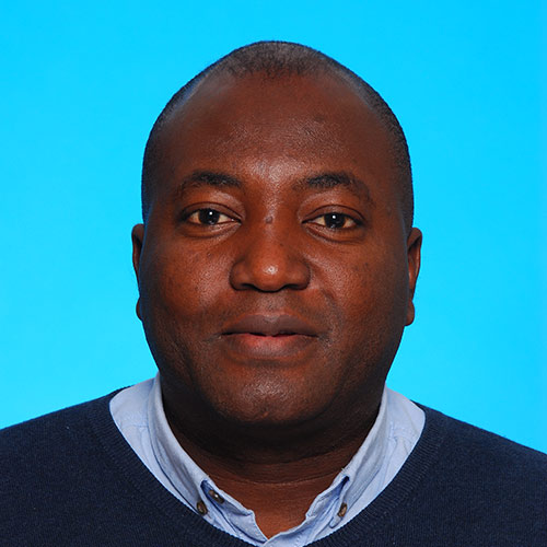
Martin Nayembil’s Biography
- 2004 – ongoing : Data Architect – BGS
- 2009 –2011 : Project Manager – Corporate Information systems & Corporate Databases – BGS
- 2002 –2007 : Database Team leader and Designer – Geological Survey of Ireland (GSI) Integrated Database Development
- 2001 : MBA, Masters In Business Administration, Keele University, UK
- 2000 –2004 : Database Designer and Web-enabled Applications Developer – BGS
- 1998 : MSc. Computing In Earth Sciences, Keele University, UK
- 1997 : Geological Engineering, University of Science & Technology, School of Mines, Tarkwa, Ghana
Research interests
- An active member of the UK Oracle User Group (UKOUG), Martin has authored papers, given presentations at National conferences and won awards in the area of Oracle spatial
- Geoscience databases and data architectures; design, peer review, implementation and management.
- Sensor Data Networks: Data workflows, data streaming and architectures. AGS Data workflows and validation.
- Spatial data and its management in databases, with extensive use of Oracle Spatial capabilities.
- Sustainable and distributed research infrastructures for earth science data.
Current projects and collaborations
- 2015 – ongoing : Technical role in work packages 6 & 7 of the European Union funded project, European Plate Observing System. – EPOS
- 2010 : VOGRIPA/Global Volcano Model (GVM) Database lead on VOGRIPA (Volcano Global Risk Identification and Analysis Project) and synergies with GVM in collaboration.
- 2007 – ongoing : Technical lead for a denormalized data layer in Oracle – BGS
- 2004 – ongoing : Technical lead for the data architecture that supports BGS’s Web data Applications – BGS
Publications
Kingdon, A.; Nayembil, M.L.; Richardson, A.E.; Smith, A.G. 2016 A geodata warehouse: using denormalisation techniques as a tool for delivering spatially enabled integrated geological information to geologists. Computers and Geosciences, 96. 87-97 [10.1016/j.cageo.2016.07.016]
Nayembil, M.; Barkwith, A. 2016 A solution (data architecture) for handling time-series data – sensor data (4D), its visualisation and the questions around uncertainty of this data. In: EGU General Assembly 2016, Vienna, Austria, 17-22 Apr 2016. (Unpublished)
Nayembil, M.; Loughlin, S.; Duncan, M. 2016 Developing an integrated and interdisciplinary information platform for volcanic hazard and risk data. In: RIMMA 2016: RISK Information Management, Risk Models and Applications, Berlin, Germany, 27-28 June, 2016. (Unpublished)
Nayembil, M.; G Baker. 2015 The Role of Data modelling in a Modern Geological Survey (extended abstract). In: The 17th annual conference of the International Association for Mathematical Geosciences, September 5-13, 2015, Freiberg, Germany (unpublished).
Nayembil, M.; Adlam, K. 2008 Oracle Spatial in British Geological Survey. In: Oracle Spatial Special Interest Group (SIG), British Geological Survey, 07th February 2008. Wimbledon, UK, UK Oracle User Group (UKOUG).
Published outputs
Certificates
- 2000 – Certificate for Higher Education, Science Demonstrator (Associate Teacher), Keele University, UK
Boards and committees
- UKOUG (United Kingdom Oracle User Group) member


