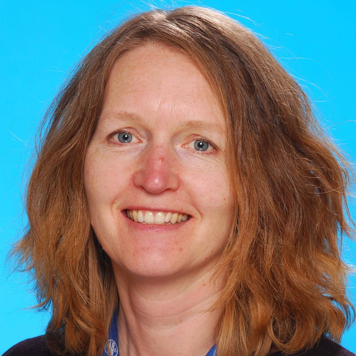
Summary
I currently lead tasks in the Geosemantics area of Informatics: the use of Linked Open Data, spatial standards, ontologies and semantic technologies for interoperability, text mining/analytics and knowledge discovery.
I design and develop spatial database solutions, web and smartphone applications for capture, discovery and visualisation of geoscience data.
I contribute to international working groups to define the vocabularies and schematic standards through which science data is made FAIR (Findable, Accessible, Interoperable, Reusable)
Rachel Heaven’s biography
- 2000: Software Developer, British Geological Survey
- 1995 – 2000: Geophysicist, British Geological Survey
- 1991 – 1994: University of Leeds BSc. Geophysical Sciences
Current projects and collaboration
- 2019 – ongoing: Loop consortium: brings together geological surveys and research institutions in Australia, Canada, France, Germany and the UK to found a new Open Source initiative to build the next generation of 3D geological modelling tools
- 2018 – ongoing: EPOS (European Plate Observing System) Vocabularies Task Force: harmonising thematic vocabularies for integrated resources
- 2017 – ongoing: Text mining to aggregate geographic, stratigraphic and palaeoenvironmental data from narrative text and resolve against Linked Open Vocabularies. Collaborations with GeoDeepDive, Macrostrat and Geobiodiversity Database (GBDB)
- 2011 – ongoing: Linked Data publication of BGS vocabularies and alignment with international vocabularies
- 2014 – 2019: Supervision of PhD research using BGS vocabularies for semantic annotation, information retrieval and ontology alignment, in partnership with Robert Gordon University
- 2000 – ongoing: Metadata systems – capture, validation and publication of metadata describing datasets and services
Published outputs
- GeoBlogy entry on EnviroHack 2015
- NERC Open Research Archive — Rachel Heaven
- NGDC Digital Data Deposit and Deposited Data Search applications
- Groundhog web drawing tool: synthetic boreholes and section images from 3D geological model data
- iGeology3D : augmented reality geological map visualisation
Skills
- Geoscience vocabularies and ontologies
- Linked Data, Linked Open Vocabularies, Semantic Web technologies
- Geographic metadata standards (ISO 19115, 19139, UK GEMINI, INSPIRE)
- Database design and development
- Spatial data
- Web and mobile application development
Boards and committees
- 2003 – ongoing: CGI-IUGS Geoscience Terminology Working Group (former Multi Lingual Thesaurus Working Group)
- 2015 – 2016: W3C/OGC Spatial Data on the Web Working Group


