Publications
BGS Information Hub
Browse our publications
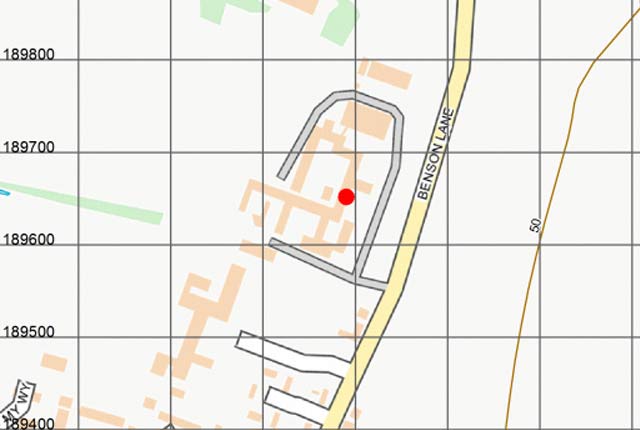
Publications viewer
Access formal BGS print publications and the recent Research Reports and Open Reports series.
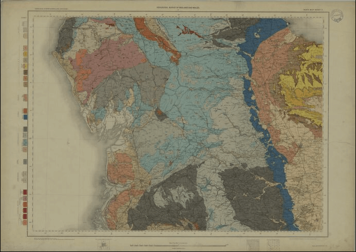
BGS TextViewer
View the text of key BGS memoirs integrated with the digital geological map.

NERC Open Research Archive (NORA)
Browse the NERC Open Research Archive of BGS reports.
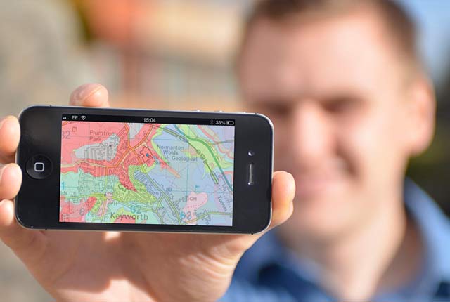
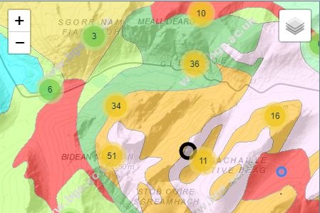
OpenGeoscience
Accessing maps and downloading data, scans, photos and other information via BGS’s free OpenGeoscience service.

BGS Library
We have extensive collections of books, maps, journals and BGS publications. We also hold special collections of British geological photographs and archive material, chiefly the historical archives of the BGS.

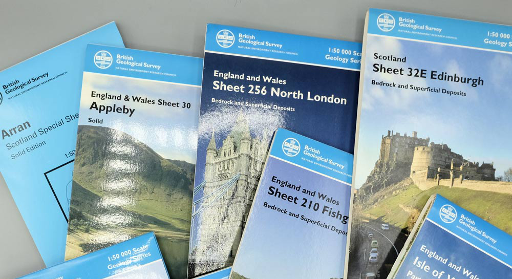
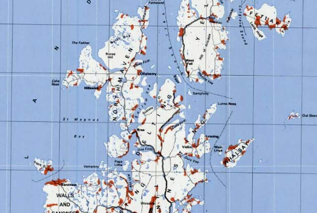
BGS maps portal
High-resolution viewing of images of almost all the small- and medium-scale geological maps produced by the BGS since mapping started in 1832.
Regional Geochemical Atlas series
Sampling and analytical methodologies are described in detail and each element is present as a gridded image classified and coloured by percentile classes.
GeoReports
GeoReports provides cost-effective access to unique sources of published and unpublished geological data, combined with expert advice from BGS scientists who know about your local area.
You may also be interested in
Data collections
Scans, photos and publications that are stored and managed by the BGS
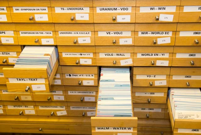
Library services: online card catalogue
The card catalogue records items added to the BGS Library service from 1970 to the mid 1980s, when the computerised catalogue ENVIROLIB began