Latest

Updated geological assessment of the Southern North Sea set to underpin future offshore infrastructure development
25/03/2026
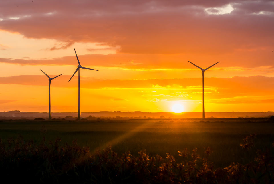
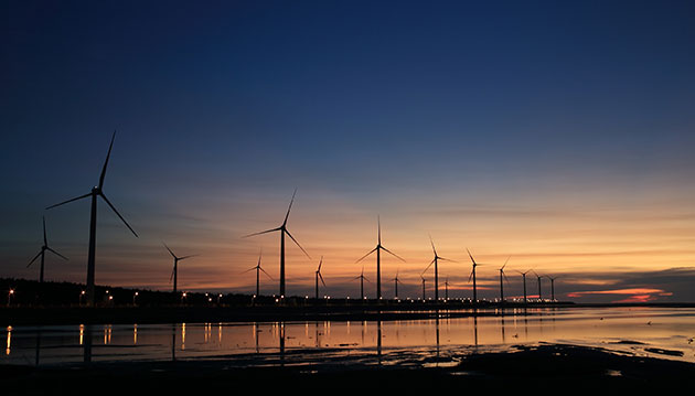
The first regional assessment for 30 years will support offshore marine and subsurface planning for the UK’s low-carbon energy infrastructure, including the 2030 target of 45 to 50 GW generated through offshore wind.

New research could help provide a more reliable water supply for millions in rural Africa
24/03/2026
A new BGS-led study has revealed crucial insights into the longstanding challenges affecting the reliability and performance of rural water supply infrastructure in sub-Saharan Africa.


PhD adventures in Copenhagen, Denmark: revealing past recovery processes of tropical forest systems through ancient environmental DNA
12/03/2026
PhD student Chris Bengt visited the University of Copenhagen to carry out very delicate extraction of aeDNA from lake-sediment cores, in the hopes of unlocking the secrets of past volcanic eruptions.
Explore more news
Browse all news and events by category
Chasing carbon
01/09/2021
BGS geoscientists discuss our latest research which is helping to provide geoscience solutions in the transition to net zero.

Climate change impacts on the UK
01/09/2021
Watch a special lecture by BGS geoscientists where they discuss our modelling projections and showcase our adaptation and mitigation research in the UK
Couch to net zero
01/09/2021
Hear from leading BGS scientists in a special talk exploring the role of geology in our everyday lives and how it is helping to meet our needs in a changing climate.
Underground energy storage: supporting the transition to net zero carbon emissions
25/08/2021
Underground storage for renewable energy resources could be a viable green solution as we transition to a net zero UK.
BEIS launches Climate Services for a Net Zero Resilient World (CS-N0W)
19/08/2021
A new programme will produce world-class research and advice to help the UK deliver on net zero targets.
Back out in the field with Tromino
18/08/2021
Steve Thorpe discusses returning to fieldwork after the COVID-19 pandemic and trying out the Tromino kit.
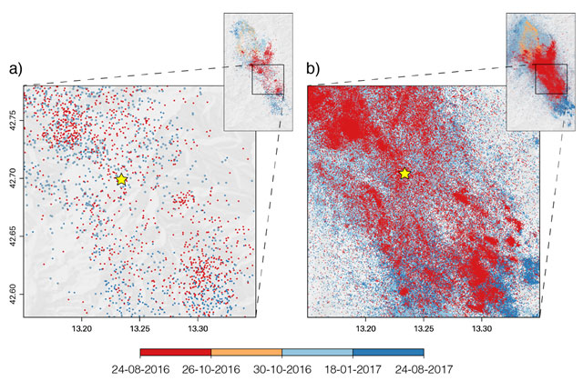
The future of earthquake forecasting
10/08/2021
Machine-learning illuminates earthquake activity with unprecedented detail, leading to improved earthquake forecasts.
BGS to help further carbon dioxide monitoring research at Sutton Bonington
03/08/2021
BGS is part of a research project that will consider the feasibility of using quantum gravity sensors to monitor carbon capture and storage sites.