Latest

New NERC-funded project empowers young people to engage with environmental science
23/07/2026
BGS is part of a new, collaborative project, funded through NERC’s ‘Opening up the environment’ programme, helping the environmental research community become more accessible.

Delving deep into mountains for future water security
16/07/2026
A BGS-led project is using new water-tracing investigation methods, geophysics and modelling to understand how water moves from mountains to the lowlands, helping to improve water security for billions of people.


Building Europe’s geological future
20/07/2026
BGS scientists are contributing to a continent-wide initiative that is strengthening collaboration across borders to tackle shared subsurface challenges and unlock new opportunities.
Explore more news
Browse all news and events by category
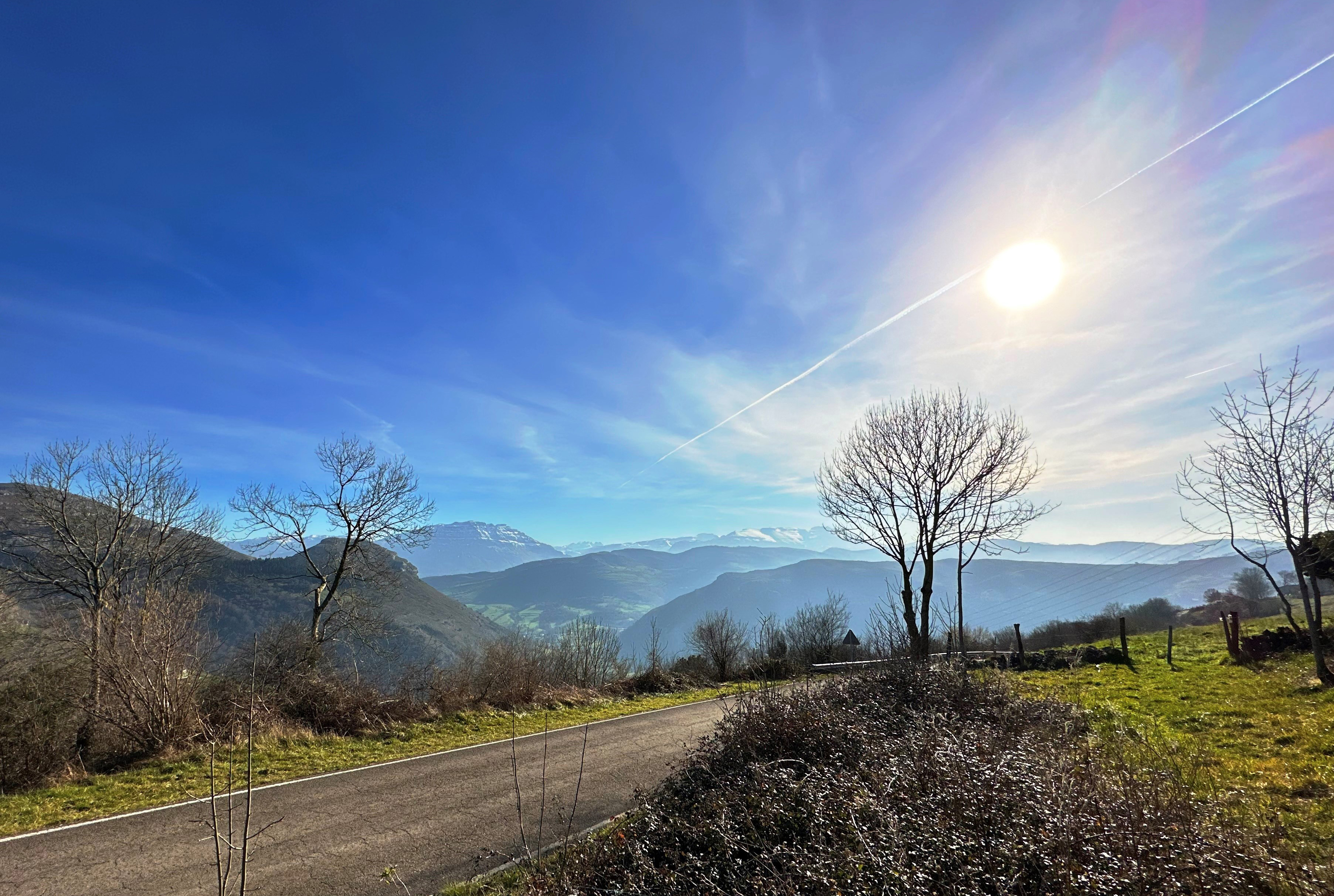
Extracting formation temperatures from stalagmites
14/08/2024
BGS’s Andrew Smith explores the karstic depressions of northern Spain in the quest to create a palaeothermometer.
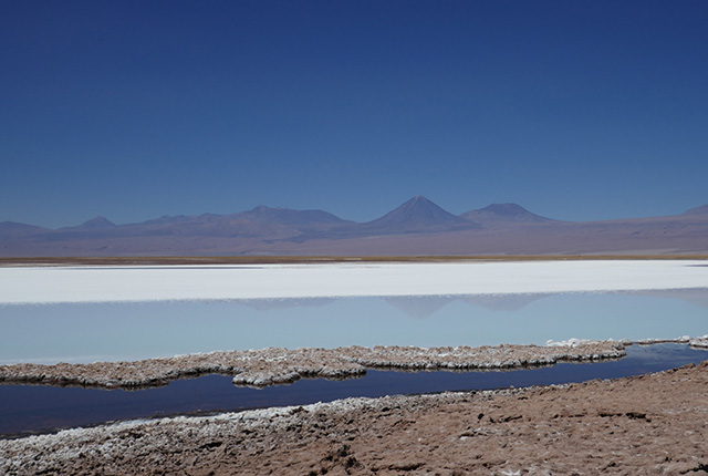
Responsible extraction in South America’s Lithium Triangle
02/08/2024
A BGS team visited Argentina and Chile to investigate how to extract lithium more responsibly in the face of growing worldwide demand.
Studying multi-hazards from space
25/07/2024
A new European Space Agency-funded project will study the effect earthquakes have on occurrences of other natural hazards in the long-term.
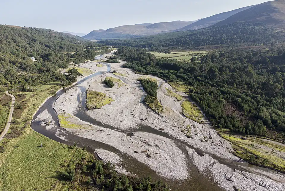
Warnings for Scottish farmers and distillers as new data indicates climate change may double number of droughts
23/07/2024
The agricultural and distilling sectors could face significant challenges after research finds the number of droughts in Scotland may double in the next 25 years.
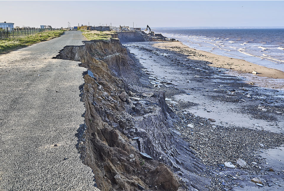
Spotlight on BGS coastal erosion data
18/07/2024
BGS GeoCoast data can support researchers and practitioners facing coastal erosion adaptation challenges along our coastline.
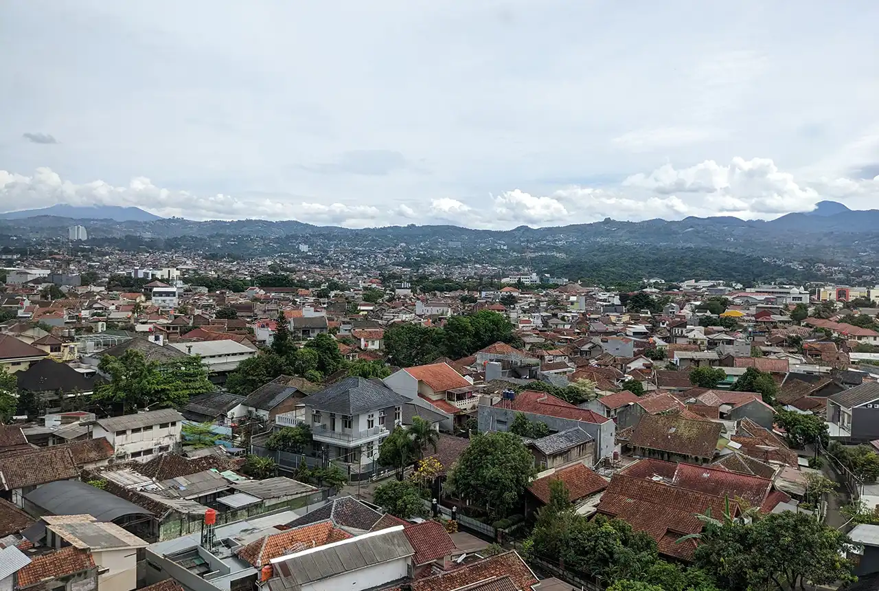
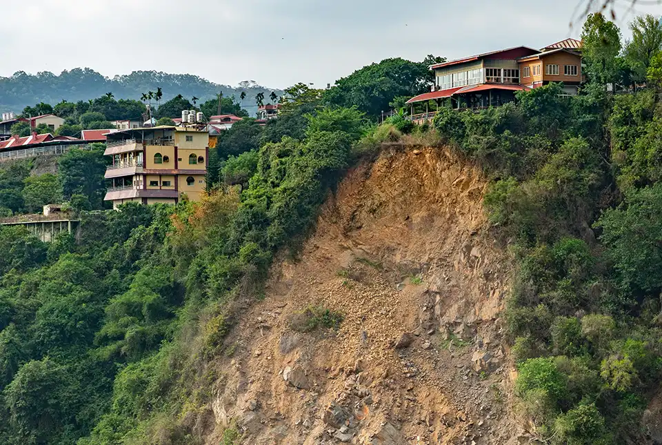
Nearly three million people in Indonesia’s second city could be affected by an earthquake
17/07/2024
BGS-led research reveals the number of people in the Bandung metropolitan region who could be exposed to a major earthquake.
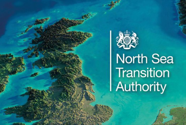
National Hydrocarbons Data Archive files now accessible through the National Data Repository
15/07/2024
Offshore well and survey information held within BGS’s archive have now been transferred to the North Sea Transition Authority’s National Data Repository to enable greater access.
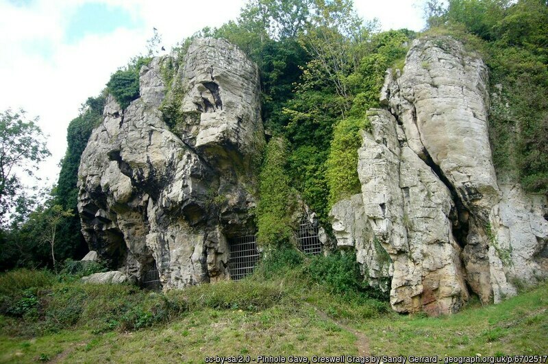
Creswell Crags Museum collections offer insight into the past and future of wolves
12/07/2024
Bones found at the site are helping scientists to understand the diet of wolves and how they differ over time.