BGS releases 10K maps through updated maps portal
BGS releases an updated maps portal, which allows users to view all publicly available maps, and includes 10 000 and 1:10 560 scale maps for the first time.
16/05/2023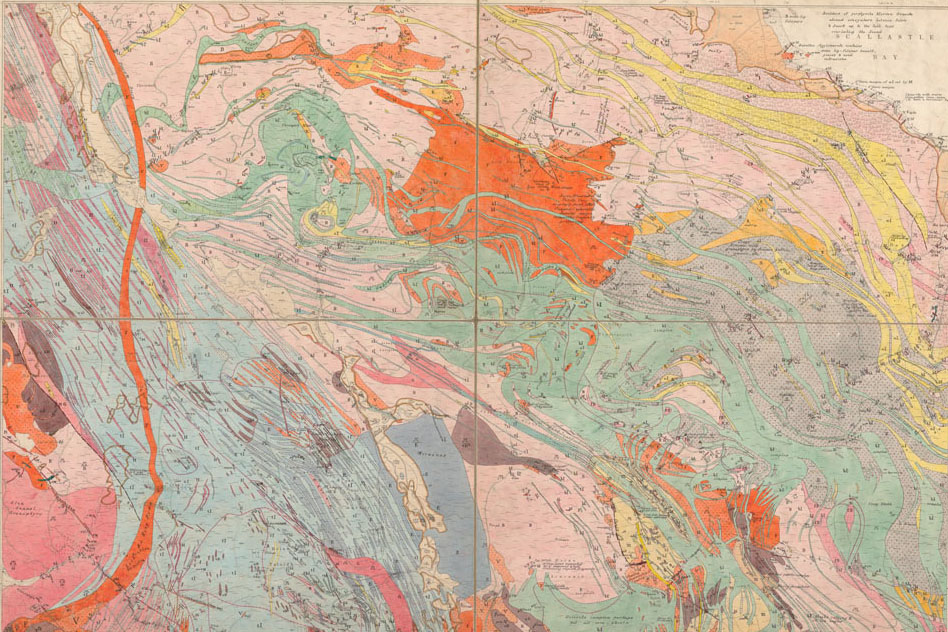

As part of our continuous effort to provide more open access to our data, BGS has launched the updated BGS Maps Portal. The renewed portal provides access to over 45 000 BGS maps and sections with the following themes:
- geological
- geophysical
- geochemical
- hydrogeological
The large-scale 10 000 and 1:10 560 BGS onshore geological maps collection is included in this portal for public viewing for the first time, along with the key 1:50 000 and 1:63 360 maps of England, Wales and Scotland.
Map portal features
The new portal will allow users to view all publicly available, maps held by BGS, with quick-view thumbnail browsing and an increased number of scanned images. Users can view the collections for free; those wishing to purchase their own copy of a map can buy high-resolution PDFs through the BGS shop.
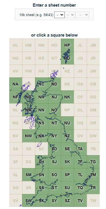
Image of National grid graphical interface on portal BGS © UKRI
A small number of maps do not have scans; for completeness, we have provided the full catalogue with all the maps’ details, omitting image links where scans do not exist.
We hope that, by providing this enhanced service, the maps portal will better meet our users’ diverse needs. However, it is important to note that users should visit BGS’s digital dataset BGS Geology, the GeoReports service or the onshore GeoIndex to access the latest digital vector mapping. The digital vector data in these services can differ significantly from the mostly historical maps presented in the maps portal so the most up-to-date vector data should be consulted for more professional user needs.
History of geological mapping at BGS
Since BGS’s inception in 1835, our maps have evolved in differing iterations of scale. Initially surveyed and produced at the 1:63 360 (one inch to one mile) scale, the decision was made in the 1850s to carry out geological surveys at the 1:10 560 scale (six inches to one mile). This standard large-scale map scale for recording field-survey information and producing maps continued for much of BGS’s existence and was based primarily on the Ordnance Survey County Sheet lines.
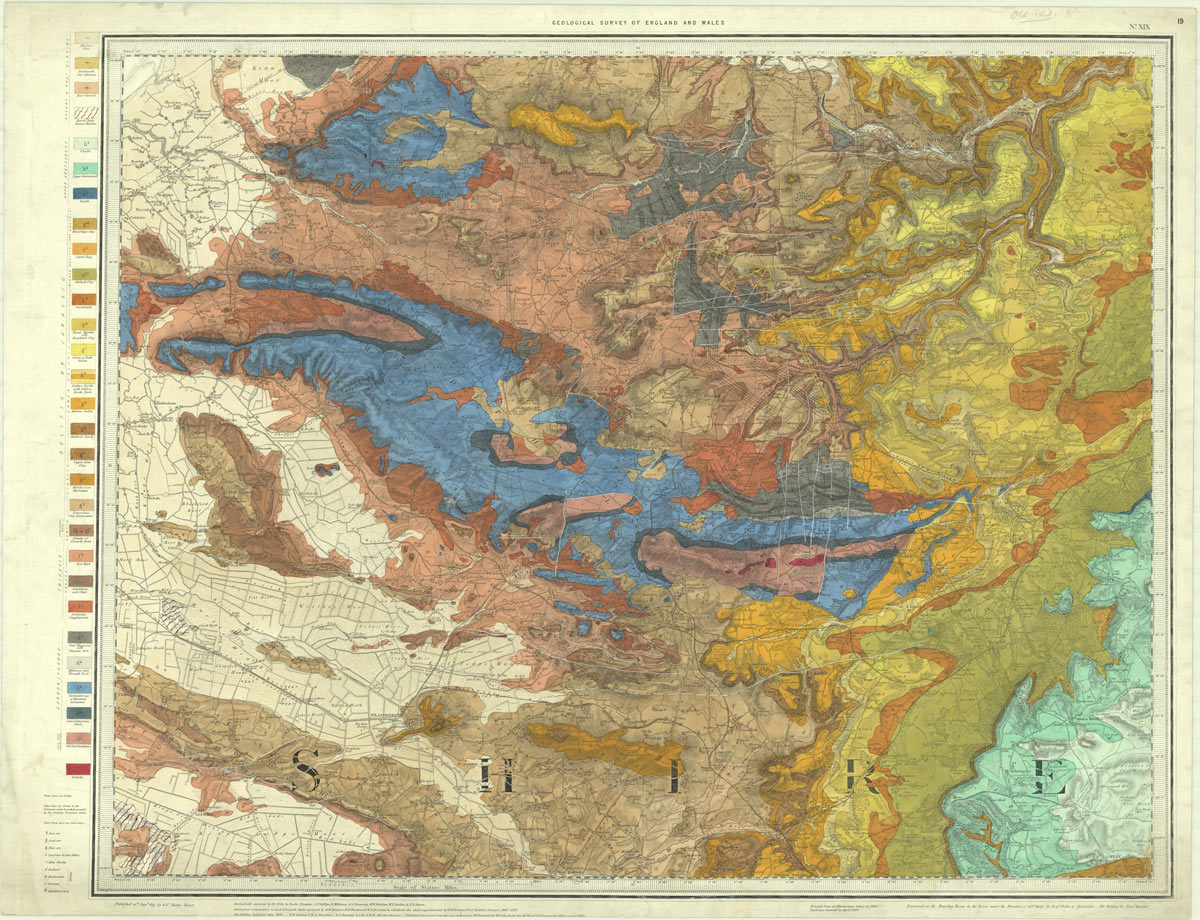
County series sheet 19, solid, 1:63 360, 1873. BGS © UKRI
The next major change came in the 1940s, when these ‘County Series’ maps began to be replaced by National Grid sheet line maps. Finally, in the late 1970s, the metric 1:10 000 scale was introduced and became the standard large-scale format for field mapping. A small number of remote areas were mapped and provided at the 1:25 000 scale.
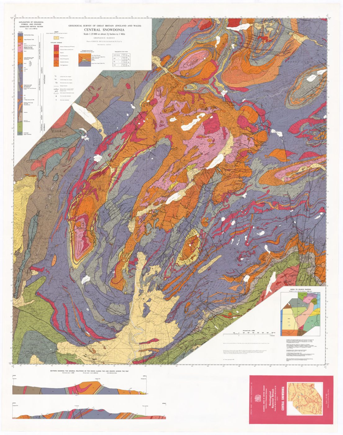
Central Snowdonia sheet 11, solid, 1:25 000, 1972. BGS © UKRI
The new 2023 to 2028 BGS Strategy ‘Understanding our Earth’ includes a renewed focus on national mapping, an aim which is supported by the renewal of the BGS Maps Portal.

One of the key science priorities identified in the new BGS Strategy focuses on the provision of geological maps and models and, in particular, ensuring that information about the underlying geology of our country is accessible. The new enhancements to the BGS Maps Portal, particularly the addition of the large-scale 1:10 000 maps and improved search features, very much align with this aim and are a significant step forward in maximising the value of our spatial data.
Dr David Schofield, BGS Director of National and International Geoscience.
Relative topics
Latest news

Updated geological assessment of the Southern North Sea set to underpin future offshore infrastructure development
25/03/2026
The first regional assessment for 30 years will support offshore marine and subsurface planning for the UK’s low-carbon energy infrastructure, including the 2030 target of 45 to 50 GW generated through offshore wind.

New research could help provide a more reliable water supply for millions in rural Africa
24/03/2026
A new BGS-led study has revealed crucial insights into the longstanding challenges affecting the reliability and performance of rural water supply infrastructure in sub-Saharan Africa.

Call for new members and Chair to join the NERC facilities steering committees
25/02/2026
New members are needed to join the committees over the next four years.

Your views wanted: developing a geothermal energy subsurface data portfolio
24/02/2026
BGS is aiming to support the growth of the sector by providing the best-available, location-specific geothermal and ground source heat information as an accessible product or service.

Map of BGS BritPits showing the distribution of worked mineral commodities across the country
18/02/2026
BGS’s data scientists have generated a summary map of the most commonly extracted mineral commodities by local authority area, demonstrating the diverse nature of British mineral resources.

Funding awarded to map the stocks and flows of technology metals in everyday electronic devices
12/02/2026
A new BGS project has been awarded Circular Electricals funding from Material Focus to investigate the use of technology metals in everyday electrical items.

New UK/Chile partnership prioritises sustainable practices around critical raw materials
09/02/2026
BGS and Chile’s Servicio Nacional de Geología y Minería have signed a bilateral scientific partnership to support research into critical raw materials and sustainable practices.

Extensive freshened water confirmed beneath the ocean floor off the coast of New England for the first time
09/02/2026
BGS is part of the international team that has discovered the first detailed evidence of long-suspected, hidden, freshwater aquifers.

Funding secured to help mitigate ground risk in UK construction sector
05/02/2026
The BGS Common Ground project has been awarded new funding to help unlock the value of ground investigation data.

Can sandstones under the North Sea unlock the UK’s carbon storage potential?
02/02/2026
For the UK to reach its ambitious target of storing 170 million tonnes of carbon dioxide per year by 2050, it will need to look beyond the current well-studied geographical areas.

Quaternary UK offshore data digitised for the first time
21/01/2026
The offshore wind industry will be boosted by the digitisation of a dataset showing the Quaternary geology at the seabed and the UK’s shallow subsurface.

Suite of ten new soil reference materials released
02/01/2026
BGS has a longstanding track record of producing high-quality reference materials and has released ten new soil reference materials.