BGS artificial ground data: what do you need from a geological survey?
BGS is seeking user feedback on artificial ground data: how you use it, what information you consider, and what we can do to improve our offering.
28/08/2025 By BGS Press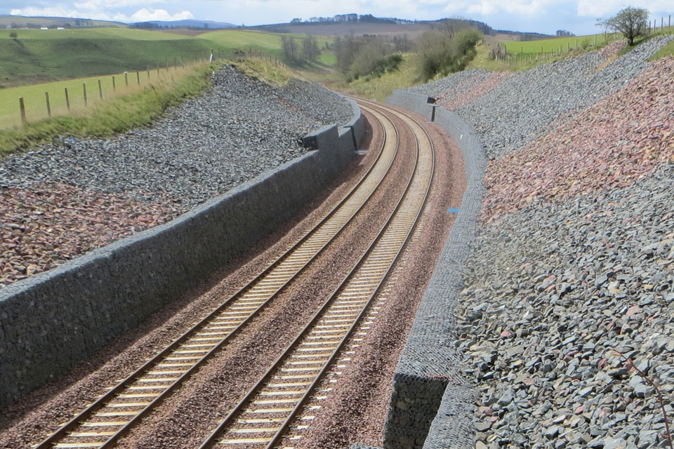

Artificial ground is found throughout the country in a variety of places, for example:
- railway and road cuttings and embankments
- foundations under buildings
- the waste and voids from surface and underground mining
- roads
- landscaped parks and golf courses
BGS has been creating national geological maps for nearly 200 years and often these maps are the only record of ground being altered by humans.
We are in the process of developing new methods for capturing and representing artificial ground information and we want to ensure that this is as useful and beneficial as possible to the stakeholder community.
Why do we want your feedback?
The aim of this survey is to gain an understanding from you, our stakeholders, about the types of data that are used regularly, why you need that data, and what decisions are made using the data. Mapping of artificial ground is not easy and everyone treats these deposits differently. By providing a standardised method of collecting and displaying artificial ground data there is significant potential to improve the communication of these features.
Interested in getting involved?
We have put together a short survey that aims to capture your thoughts and processes when working with artificial ground data. We value your input and would appreciate you completing this short questionnaire, providing as much context as possible.
Survey deadline extended to 28th November 2025.
Related news

Updated geological assessment of the Southern North Sea set to underpin future offshore infrastructure development
25/03/2026
The first regional assessment for 30 years will support offshore marine and subsurface planning for the UK’s low-carbon energy infrastructure, including the 2030 target of 45 to 50 GW generated through offshore wind.

Map of BGS BritPits showing the distribution of worked mineral commodities across the country
18/02/2026
BGS’s data scientists have generated a summary map of the most commonly extracted mineral commodities by local authority area, demonstrating the diverse nature of British mineral resources.

Can sandstones under the North Sea unlock the UK’s carbon storage potential?
02/02/2026
For the UK to reach its ambitious target of storing 170 million tonnes of carbon dioxide per year by 2050, it will need to look beyond the current well-studied geographical areas.

Quaternary UK offshore data digitised for the first time
21/01/2026
The offshore wind industry will be boosted by the digitisation of a dataset showing the Quaternary geology at the seabed and the UK’s shallow subsurface.

New geological maps of the Yorkshire Wolds to better inform groundwater management and policy decisions
17/12/2025
The new mapping provides crucial data on localised geological issues that may assist in protecting water supplies.

New 3D model to help mitigate groundwater flooding
08/12/2025
BGS has released a 3D geological model of Gateshead to enhance understanding of groundwater and improve the response to flooding.

Latest BGS Geology 50K mapping data launched
06/11/2025
Some of our most widely used maps have received a major update, including the 1:50 000-scale map series that now includes enhanced coverage of Great Britain.

World Cities Day: the geological story of our cities
31/10/2025
Understanding the rocks that underlie our towns and cities, the risks they can present and how they influence urban planning and redevelopment.

Extended seabed geology map of the Bristol Channel published
07/10/2025
BGS has released significantly extended high-resolution maps that will support offshore green-energy initiatives in the area.

New BGS GeoIndex viewer released for user testing
24/09/2025
The premium map-viewing application has been given a major upgrade and made available as a beta release.

New seabed sediment maps reveal what lies beneath the waves
03/09/2025
Marine ecosystem science and offshore infrastructure will be boosted by a new dataset showing sediment composition across the UK continental shelf.
BGS artificial ground data: what do you need from a geological survey?
28/08/2025
BGS is seeking user feedback on artificial ground data: how you use it, what information you consider, and what we can do to improve our offering.