The Quaternary is the most recent geological time period of the Cenozoic era, spanning the past 2.6 million years. Geological processes that have affected the UK during the Quaternary include crustal uplift and subsidence, weathering, deformation by glaciers and permafrost, erosion and sedimentation. All of these processes have to varying degrees affected the properties and behaviour of the shallow subsurface geology.
Ice ages that occurred during the Quaternary left an indelible geological imprint on the UK landscape. At Trimingham in north Norfolk, coastal cliffs are composed of sands and clays that were laid down by glaciers during an Ice Age 450 000 years ago. Landslides that occur within these cliffs reflect the varying composition and structure of these sands and clays (Figure 1). Better understanding of the process that formed this style of geology can help planners better understand where and how coastal landslides may occur.
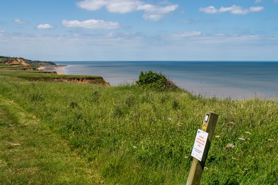

Figure 1: coastal landslides in glacial sands and clays at Trimingham, north Norfolk. BGS © UKRI.
Scientists at the BGS are working to develop a better understanding of Quaternary processes and the properties and behaviour of the shallow subsurface geology. This is crucial for enhancing the resilience of lowland landscapes to environmental change by supporting effective management of water resources, hazards (such as flooding, landslides and coastal erosion) and ground conditions for civil engineers.
Several of the UK’s primary bedrock aquifers, such as the Sherwood Sandstone and Chalk groups, are covered by a veneer of Quaternary sediment. Understanding the distribution, composition and complexity of these Quaternary sediments is crucial for managing our aquifers more effectively. It can help identify zones of aquifer that may be vulnerable to contamination (e.g. by nitrates) and identifying subsurface flow paths between the land surface and the aquifer.
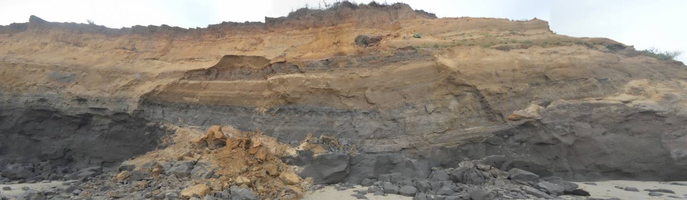
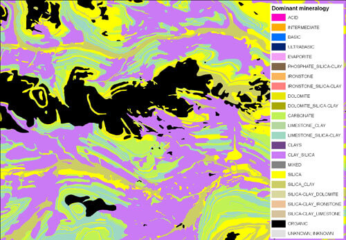
Figure 2: Quaternary sediment overlying solid rock. BGS © UKRI.
Find out more about our sustainable soils research
Soils and landscapes
Understanding soil structure and soil and moisture dynamics in UK and African soils and the effects of increasing human populations, changing climates and the intensification in the use of our soils.
Upland landscape resources
Improving how near-surface geology can be characterised and predicted in upland environments.
Soil Parent Material Model
The Soil Parent Material Model details the distribution of properties of the weathered and unweathered soil parent materials of Great Britain.