For the last three years, the BGS has been working with the Department of Minerals and Geoscience Malaysia (JMG) to improve the sustainability and resilience of Kuala Lumpur through better integration of geoscience into the planning, design, construction and management of buildings and infrastructure.
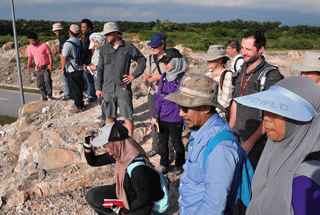

The partnership team on a fieldwork trip to map Kuala Lumpur. BGS © UKRI.
Densely populated urban environments are subject to multiple competing land-use requirements and ever-growing populations that necessitate subsurface development to meet future needs. The subsurface presents a dichotomous environment of both resources for exploitation and hazards that require mitigation. A better understanding of subsurface properties and processes is therefore critical to making cities and human settlements inclusive, safe, resilient and sustainable (UN Sustainable Development Goal 11).
With the ambition of building the first 3D geological model of Kuala Lumpur (3DKL), a consortium was formed comprising a selection of geoscience stakeholders from across government, industry and academia. It includes:
- BGS
- JMG
- Kuala Lumpur City Hall (DBKL)
- Malaysian Public Works Department (JKR)
- Mass Rapid Transit Corporation (MRT)
- MMC-Gamuda
- National University of Malaysia (UKM)
- Universiti Tenaga Nasional (UNITEN)
- University of Malaya (UM)
The 3DKL v1.0 workflow involved digitising borehole logs extracted from site investigation reports and storing them in a dedicated geospatial SQLite borehole database developed by the BGS. QGIS software was used to view and interpret borehole data; BGS Groundhog software was used to generate multiple orthogonally oriented cross-sections across the model areas and Leapfrog software was used to generate a 3D model from the resulting interpreted boreholes and cross-sections.
We continue to collaborate with JMG on our shared goals of improving the understanding of the geology of Kuala Lumpur and using technology to share data and knowledge with geoscience stakeholders in academia, industry and government. Together we hope to contribute to a making Kuala Lumpur a more sustainable and resilient city.
You may also be interested in
Resilience of Asian cities
Our research aims to improve city resilience by integrating geology into urban subsurface planning and urban-catchment science in India and south-east Asia