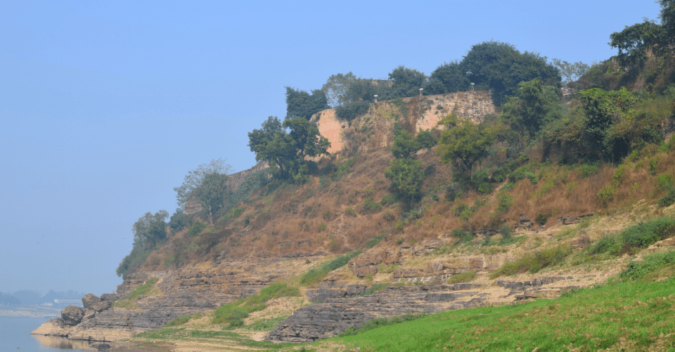
Varanasi, with a population of 1.2 million people, faces many environmental challenges as the city must modernise its infrastructure while maintaining its rich cultural and spiritual heritage on the banks of the Ganges.
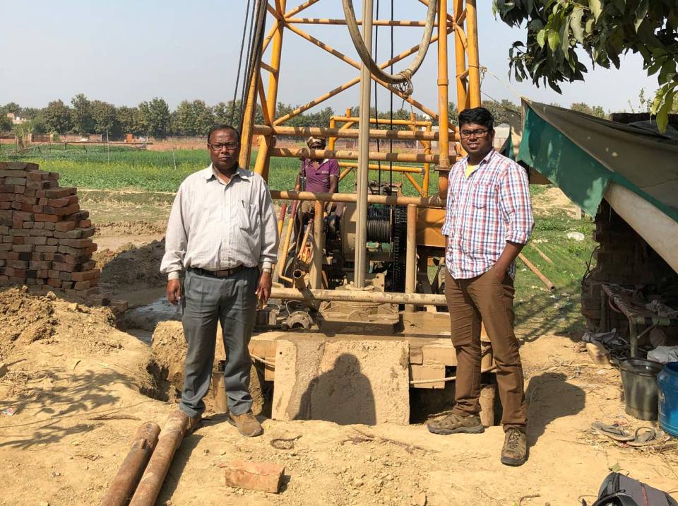
Working with the Indian Institute of Technology Kharagpur and as part of the SANDHI project, we have jointly drilled a series of exploratory boreholes across the city, using the data from drilling to construct a 3D geological model of the city. We have also taken water samples and installed monitoring equipment to better understand how the movement of the River Ganges has controlled the deposition of sediments.
The model highlights areas where there are sand lenses passing beneath the city and linking to the river channel — a potential pathway for pollution to reach the river. The data collected will underpin urban planning and infrastructure development, as well as improving scientific understanding of how the river system is evolving in response to climatic and tectonic influences.
You may also be interested in

Resilience of Asian cities
Our research aims to improve city resilience by integrating geology into urban subsurface planning and urban-catchment science in India and south-east Asia


