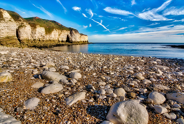
BGS has produced its Digital Great Britain Coastlines (DiGBcoast v1.0) database; a dataset of the coastline position of Great Britain from 1984 to 2022 derived from publicly available, optical satellite imagery.
DiGBcoast v1.0, is a new, supranational dataset documenting three decades of coastal change across Great Britain’s mainland (England, Scotland and Wales) including the Isle of Wight and Ynys Môn/Anglesey. This dataset has been produced using the publicly available optical Landsat-5,8 and Sentinel-2 missions over the period between 1984 to 2022 (38 years). It includes instantaneous waterlines and instantaneous, tidally corrected to mean sea level shorelines.
DiGBcoast has been made available to the public as free and open interactive data, to support future coastal research and management across Great Britain.
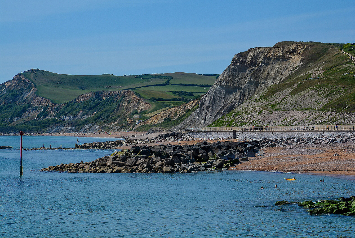

Eroding cliffs and sea defences at West Bay, Dorset. © Lewis Clarke; licensed for reuse under the Creative Commons Attribution-ShareAlike 2.0 license.
Find out more about our research

Sea floor: marine geoscience
Providing independent and expert geological advice, research and data acquisition to anyone working in the marine environment.