We are committed to updating our baseline geological datasets to ensure that they are fit for 21st-century multi-stakeholder use in strategically identified locations such as the Strathmore Basin, a 300 km-long region that spans central Scotland.
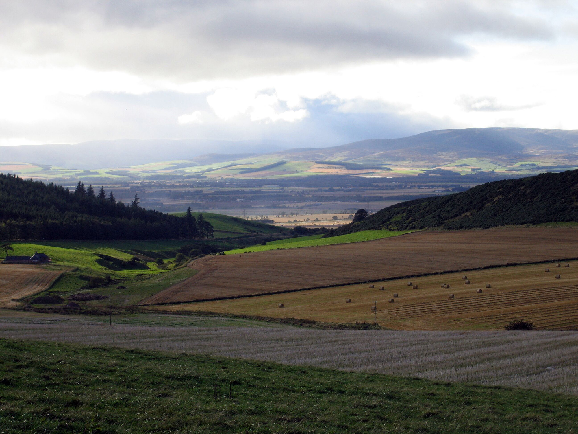

Typical arable land use in the Strathmore region. Improved geological mapping of this area will help to protect this important agricultural community, its crop and assets from environmental hazards, and assist in aquifer management. BGS © UKRI.
What is the Strathmore strategic geological study?
Baseline geological mapping underpins a range of BGS products such as GeoSure, GeoClimate and groundwater vulnerability, which are relied on by an array of stakeholders and applied users, including policymakers, local authorities and financial lenders.
The geology of some of Great Britain was last mapped in the 1800s. At that time, there was no satellite data and underground data was limited, so maps were mostly based on ground observations. New mapping in priority areas will provide updated geological data and information.
One such priority area is the Strathmore Basin, a 300 km-long, Devonian sedimentary basin that spans central Scotland from Stonehaven to the Isle of Arran. Along with being one of Scotland’s agricultural hubs, the basin is underlain by an important sandstone aquifer.
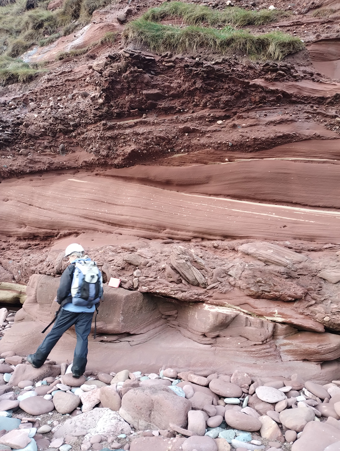
The foreshore and cliff face at Arbroath give important insight into the features of the Scone Sandstone Formation, a rock unit that exists beneath much of the north-eastern Strathmore Basin. BGS geoscientist for scale. BGS © UKRI.
Who does the project aim to help and how?
BGS’s geoscientists have undertaken numerous fieldwork campaigns, using expert lithological and regional knowledge to collect traditional observations at strategic locations within the region. The observations have been combined with modern datasets, including digital terrain models and the records of recently drilled boreholes in GIS software packages, to produce new conceptual models, lithological descriptions, interpretations and linework.
The revised maps will help BGS to better understand ground conditions and the pathways for groundwater flow, supporting groundwater management and assessments of geothermal resource potential. In the future, this will help farmers and other rural businesses identify more reliable groundwater sources and make decisions around investment in ground-source heat pumps.
This linework will be incorporated into future baseline geological map data releases, such as BGS Geology 50K.
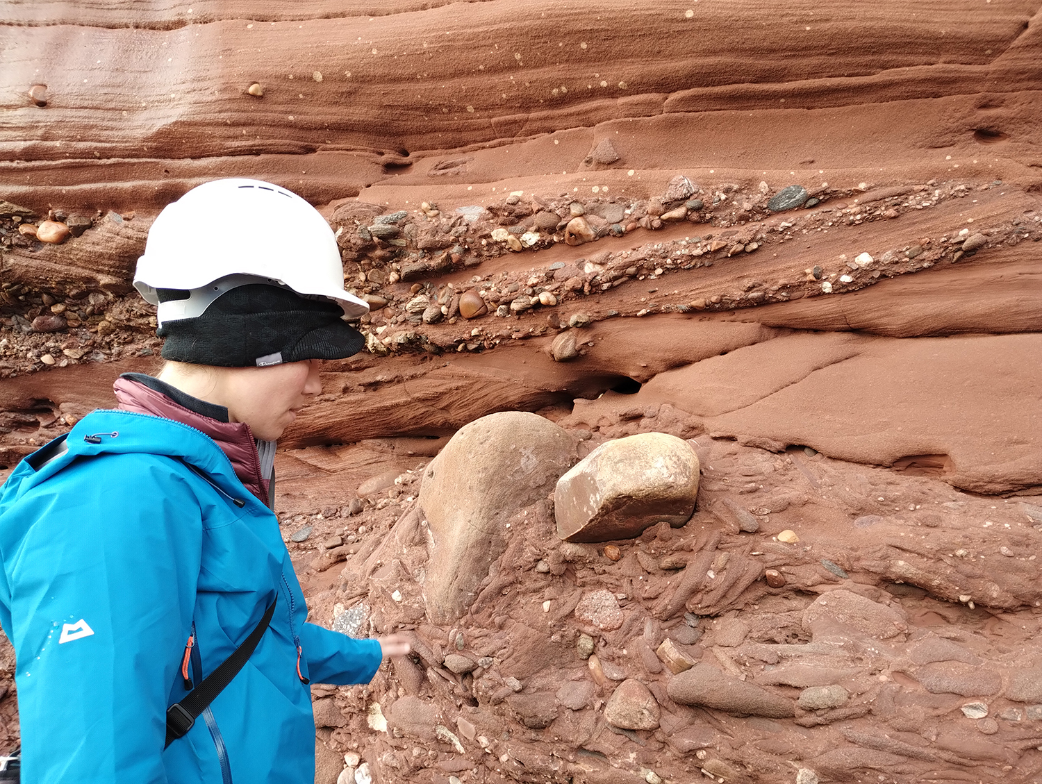
BGS geoscientist studying the Devonian ‘Old Red Sandstone’ at the Arbroath cliffs, interpreting the environments in which these rocks were deposited. BGS © UKRI.
What will the outcomes be?
The suite of new and revised digital geological maps and datasets will provide comprehensive coverage of geological information for the basin, including new interpretations of the geological system based on high-resolution digital terrain data, field observations and modern scientific understanding. The data and resources will be available to the general public, the private sector, regulators, agencies and the public sector to support decision making, helping to ensure resilience for one of Scotland’s key agricultural regions.
Further reading
Contact
If you would like more information, please contact Katie Whitbread.