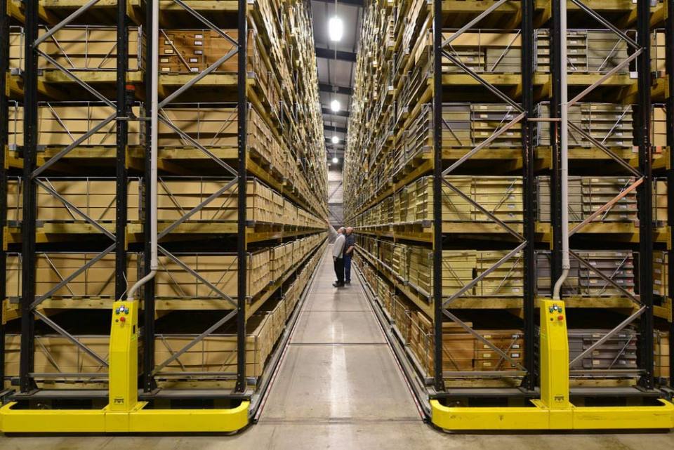
We offer a variety of services and products for the general public, available online and in our on-site shop at our headquarters in Keyworth, including:
- reports
- geological maps in digital and printed versions
- books
- posters and guides
- mobile applications


BGS offers a variety of services and products for the general public, including reports, maps, books and mobile applications. ©iStock.com/Dmytro Varavin.
Services for homeowners
We have a range of information available to help your home-buying process, such as geological assessments, ground stability (subsidence) reports and radon risk reports. We can also provide natural ground-stability condition reports, including information about collapsible ground, compressible ground, dissolution, landslide, running sand and swelling clay.
Through GeoReports you can have cost-effective access to unique sources of published and unpublished geological data, combined with expert advice from BGS scientists. If you are interested in ground conditions for drilling, investigation or house purchase or if you are concerned about any other specific hazard, then GeoReports can help you.
Radon protection reports
Radon is a natural radioactive gas that enters buildings from the ground and can cause lung cancer. If you are buying, building or extending a home, then you need to know about radon, and there are several reports available for you, including:
- radon protective measures for new builds and extensions: reports, occurrence and risks
- radon in workplaces
Homes with addresses including postcodes
If the home has a full postal address including a postcode then you can obtain a Radon Risk Report (£3+VAT) online from UKradon
This report will tell you if the home is in a radon affected area, which you need to know if buying or living in it, and if you need to install radon protective measures, if you are planning to extend it.
Homes with addresses not including postcodes
If you are building a new home then you are unlikely to have a full postal address for it.
You can obtain a report from GeoReports service, located using grid references or site plans, which will tell you whether you need to install radon protective measures when building the home.
More information
For further information about radon affected areas and radon protective measures see Radon data: radon potential dataset.
BGS GeoSure
The BGS GeoSure datasets identify areas of potential natural ground movement and therefore potential hazard in Great Britain. This data has been produced by our geologists and geotechnical specialists and is presented as six GIS data layers related to the geohazard.
BGS Shop
We have an online shop.
Need more information?
Find out more about our research
Our data and services
The BGS offers a range of services and information for businesses, home-owners, policymakers and the general public.
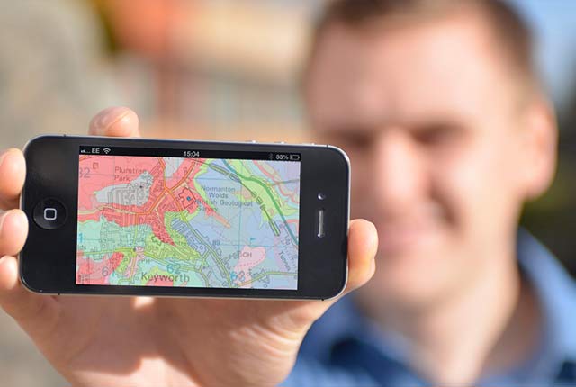
OpenGeoscience
Accessing maps and downloading data, scans, photos and other information via BGS’s free OpenGeoscience service.
Related news

Isotopes and science: my student placement at BGS
08/04/2026
Industrial placements at BGS for undergraduate students give real-life experience of working in laboratories and learning different analytical techniques.

Updated geological assessment of the Southern North Sea set to underpin future offshore infrastructure development
25/03/2026
The first regional assessment for 30 years will support offshore marine and subsurface planning for the UK’s low-carbon energy infrastructure, including the 2030 target of 45 to 50 GW generated through offshore wind.

New research could help provide a more reliable water supply for millions in rural Africa
24/03/2026
A new BGS-led study has revealed crucial insights into the longstanding challenges affecting the reliability and performance of rural water supply infrastructure in sub-Saharan Africa.

UK Critical Minerals Intelligence Centre 2026 showcase
Event on 31/03/2026
A special live webinar with the team from the Critical Minerals Intelligence Centre showcasing the latest research from 2026 on copper, the future of digital, and what’s next for the criticality assessment. A recording of the event is now available.

PhD adventures in Copenhagen, Denmark: revealing past recovery processes of tropical forest systems through ancient environmental DNA
12/03/2026
PhD student Chris Bengt visited the University of Copenhagen to carry out very delicate extraction of aeDNA from lake-sediment cores, in the hopes of unlocking the secrets of past volcanic eruptions.

Call for new members and Chair to join the NERC facilities steering committees
25/02/2026
New members are needed to join the committees over the next four years.

Your views wanted: developing a geothermal energy subsurface data portfolio
24/02/2026
BGS is aiming to support the growth of the sector by providing the best-available, location-specific geothermal and ground source heat information as an accessible product or service.

Map of BGS BritPits showing the distribution of worked mineral commodities across the country
18/02/2026
BGS’s data scientists have generated a summary map of the most commonly extracted mineral commodities by local authority area, demonstrating the diverse nature of British mineral resources.

MARC Conference 2025: highlighting the importance of conferences to PhD students
16/02/2026
BGS and University of Nottingham PhD student Paulina Baranowska shares her experience presenting her research on nuclear forensics at her first international conference.

Funding awarded to map the stocks and flows of technology metals in everyday electronic devices
12/02/2026
A new BGS project has been awarded Circular Electricals funding from Material Focus to investigate the use of technology metals in everyday electrical items.

New UK/Chile partnership prioritises sustainable practices around critical raw materials
09/02/2026
BGS and Chile’s Servicio Nacional de Geología y Minería have signed a bilateral scientific partnership to support research into critical raw materials and sustainable practices.

Extensive freshened water confirmed beneath the ocean floor off the coast of New England for the first time
09/02/2026
BGS is part of the international team that has discovered the first detailed evidence of long-suspected, hidden, freshwater aquifers.