

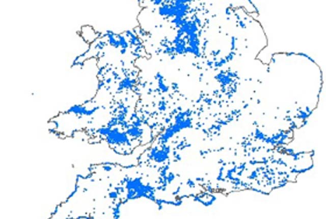

Landslide database map. BGS © UKRI – Contains OS data © Crown copyright 2020.
BGS National Landslide Database
- Great Britain
- Open / Premium
The National Landslide Database is the most extensive source of information on landslides in Great Britain with over 17 000 records.
Supporting documents:
Key information
- Coverage:
- Great Britain
- Availability:
- Open / Premium
- Price:
Full dataset: Commercial/academic licence required, price on application. Site-specific reports are available via GeoReports.
Index data: This is a free dataset available to view as a WMS layer, or via the onshore GeoIndex. Download available on request.
- Format:
- GIS point data/database tables
- Uses:
- Site-level to local-level use
- Themes:
- Hazards, Soils and landscapes
- Sector:
- Ground stability, Monitoring and surveying
The BGS National Landslide Database (NLD) is the most extensive source of information on landslides in Great Britain. Each data point is regarded as a reference of a reported landslide event.
The database currently holds over 17 000 records that are continually being updated. New records are added as landslide information is made available. The data comes from a variety of sources including social media, published BGS geological maps and active surveys. Other sources include commissioned and research studies, information from the public and a number of regional databases we have inherited or compiled since the 1970s, including the Department of the Environment’s (DoE) National Landslide Database constructed in the 1990s.
Each landslide event is documented as fully as is possible, with information on:
- age
- damage caused
- full bibliographic reference
- location
- movement date
- name
- size/dimensions
- trigger
- type
The level of detail is determined by the source of the original reference. Where the record has been through the QA process, the original reference has been checked for the reported location information and the point location has been amended as appropriate.
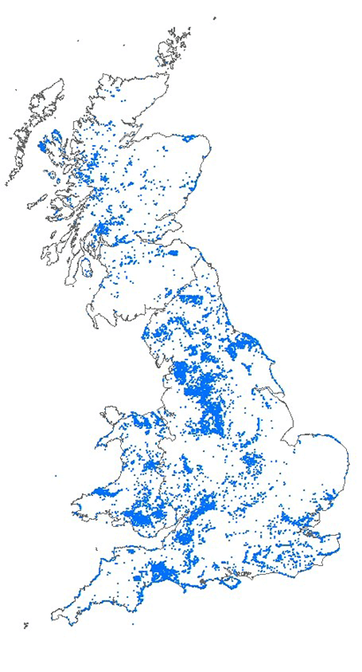
Landslide database map. BGS © UKRI – Contains OS data © Crown copyright 2020.
Full dataset
- includes all attributes as recorded in NLD including full reference information
- over 17 000 total entries available
- data supplied as individual PDF reports, Excel file and/or GIS shapefile
Index data
- ten attributes: landslide ID, survey number, landslide name, location, easting, northing, plus or minus (metres), date of landslide, checked by BGS, details (reference)
- over 17 000 total entries available
- this is a free dataset available as a WMS layer or via the onshore GeoIndex hazard theme. Download data is available on request.
You may also be interested in


BGS GeoSure: landslides
The potential for landsliding (slope instability) to be a hazard has been assessed using 1:50 000 scale digital maps of superficial and bedrock deposits. These have been combined with information from the BGS National Landslide Database and scientific and engineering reports.
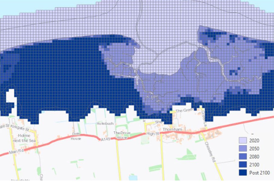
GeoCoast Premium
GeoCoast is an integrated GIS package of datasets designed to inform and support coastal management and adaptation.