Hazard monitoring provides valuable information for understanding processes and for the science required to develop early warning systems that could protect people and infrastructure. We undertake monitoring at a range of scales using numerous techniques that can be categorised as direct or indirect and periodic or continuous.
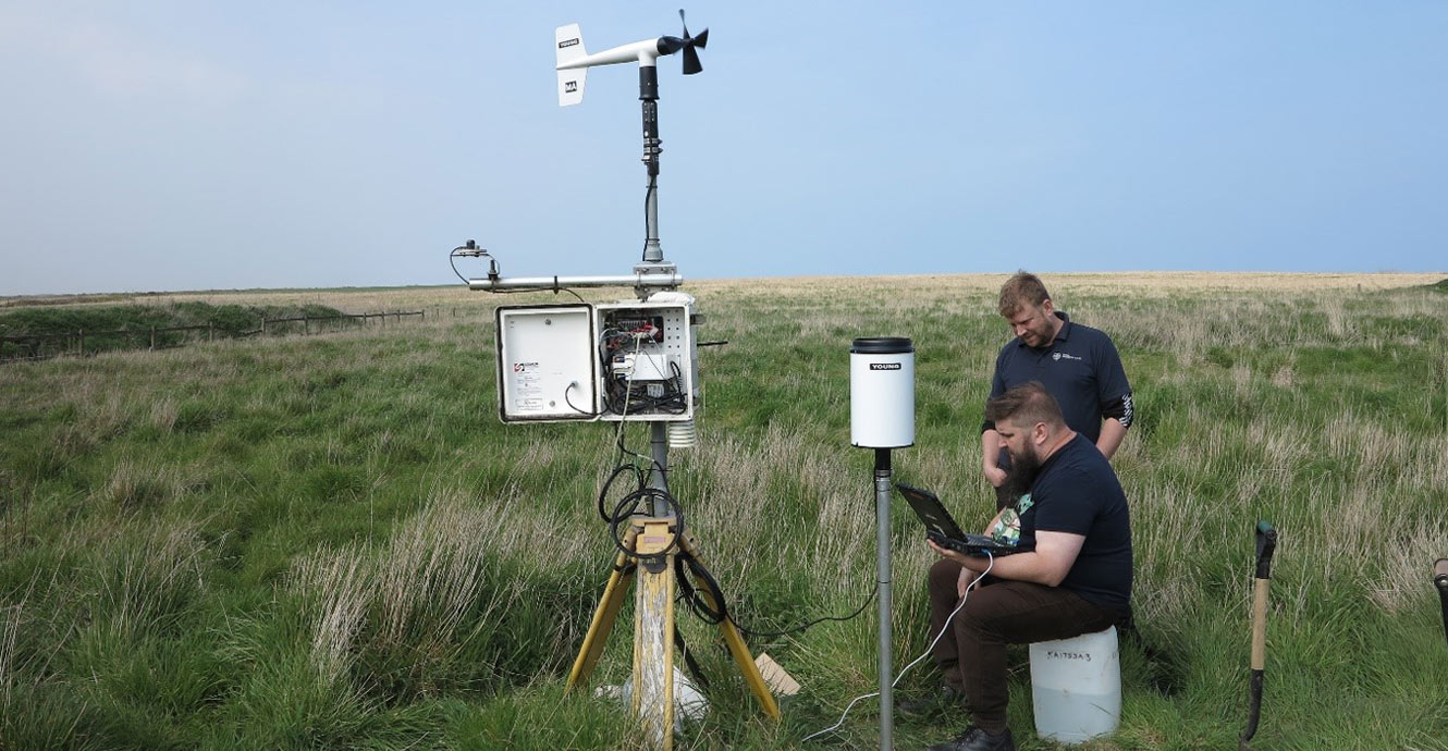

Downloading meteorological data at Aldbrough, Yorkshire. BGS © UKRI.
Direct monitoring
Periodic direct monitoring comprises repeated direct observations of landslides, typically made using earth observation, UAVs or ground-based monitoring technologies. Of particular interest to landslide research are repeated optical imagery, satellite radar technology to provide data on vertical movement, and both airborne and ground-based LiDAR scanning. These techniques are deployed at our landslide observatories and provide 3D monitoring through the use of change models.
Simpler technologies can also be deployed very effectively, e.g. change monitoring based on physical measurements of distance to set monitoring points or features in the landscape, which returns 2D results. In rock slopes, crack monitoring can be undertaken using strain gauges or extensometers.
The periodicity of monitoring is informed by either the periodicity of the technique (in the case of earth observation) or the design, to reflect anticipated rates of movement or seasonality in the data.
Continuous direct monitoring is typically undertaken using optical cameras, but these are rarely deployed because they are costly: cameras require mounting, maintenance and protection from the weather. They are commonly too data rich, requiring significant processing time.
Indirect monitoring
Periodic indirect monitoring techniques that contribute to the development of early warning systems for landslides typically include periodic monitoring of geotechnical properties of the ground, such as soil moisture and groundwater levels, as well as the periodic downloading of continuous monitoring data collected via dataloggers, such as inclinometers, meteorological data or groundwater levels.
Continuous indirect (real-time) monitoring is becoming increasingly available through, for example, telemetry or the use of electrical resistivity as an analogue for moisture content, such as our PRIME or acoustic real-time monitoring (ALARMS) technologies.
You may also be interested in
Shallow geohazards
Measuring, recording and analysing near-surface geological hazards including landslides, sinkholes and discontinuities.