BGS GeoClimate – dataset launch webinar
The virtual launch of our new BGS GeoClimate dataset - helping mitigate the economic risk from shrink-swell subsidence. Event recording now available
Event on 02/06/2026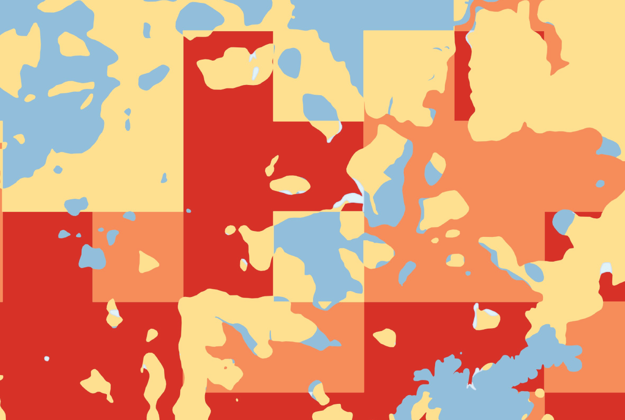

The new BGS GeoClimate data product provides information on the potential for clay shrink-swell subsidence under multiple climate scenarios.
Soils and rocks with high clay content are prone to absorbing water when wet, causing them to expand. As these deposits dry out, they contract, reducing in size. These changes produce ground movement which can cause overlying property and infrastructure to move and shift, often resulting in costly structural damages. Signs of subsidence include cracks in walls, ceilings and other built structures.
This natural hazard presents a significant growing economic cost – In 2025, the UK experienced the warmest Spring on record, and the driest in more than 50 years. As a result, in the first six months of 2025, subsidence-related insurance claims in the UK totalled £153 million (ABI, 2025). Climate change projections indicate that hotter, drier conditions are likely to become increasingly frequent over the coming century, exacerbating subsidence susceptibility.
BGS GeoClimate identifies where susceptibility to shrink-swell subsidence is likely to change, considering 1:50 000 scale BGS geological data and the highest available resolution climate change projections, CHESS-SCAPE from UK Centre for Ecology & Hydrology (UK CEH). These are explicitly derived from UKCP18 regional climate model outputs. This new version of GeoClimate improves upon previous iterations providing outputs for more Representative Concentration Pathways (RCPs) and a larger number of time periods.


BGS GeoClimate Shrink-Swell webinar recording
Webinar agenda:
- Introduction to the new GeoClimate dataset
- Review of the methodology and input datasets
- Demonstration of data format, coverage, and resolution
- Potential applications and user case studies
- Q&A with BGS research scientists and products team
a download of questions and responses from the Q&A is now available.
Who should attend:
This webinar will be of interest to:
- Anyone working with climate data and geospatial decision‑support tools continually refine how it identifies and manages supply risks for its material needs.
- Banks and mortgage lenders
- Insurers and risk modellers
- Conveyancers and property reporters
- Infrastructure managers e.g. transport, utilities
- Local, regional and national planners and policy makers
- Engineering and environmental consultants supporting climate resilience and adaptation